2500 Palm St Atlantic, IA 50022
Estimated Value: $367,000 - $408,000
2
Beds
3
Baths
1,352
Sq Ft
$284/Sq Ft
Est. Value
About This Home
This home is located at 2500 Palm St, Atlantic, IA 50022 and is currently estimated at $384,110, approximately $284 per square foot. 2500 Palm St is a home located in Cass County with nearby schools including Washington Elementary School, Schuler Elementary School, and Atlantic Middle School.
Ownership History
Date
Name
Owned For
Owner Type
Purchase Details
Closed on
May 2, 2025
Sold by
Moorman Family Trust and Koeniguer Ann Marie
Bought by
Dusenberry Stuart D and Dusenberry Sheryl L
Current Estimated Value
Home Financials for this Owner
Home Financials are based on the most recent Mortgage that was taken out on this home.
Original Mortgage
$355,000
Outstanding Balance
$334,409
Interest Rate
5.83%
Mortgage Type
Construction
Estimated Equity
$49,701
Purchase Details
Closed on
Dec 22, 2018
Sold by
Kenneth R Moorman Lt
Bought by
Kenneth R Moorman Lt
Create a Home Valuation Report for This Property
The Home Valuation Report is an in-depth analysis detailing your home's value as well as a comparison with similar homes in the area
Home Values in the Area
Average Home Value in this Area
Purchase History
| Date | Buyer | Sale Price | Title Company |
|---|---|---|---|
| Dusenberry Stuart D | $355,000 | None Listed On Document | |
| Kenneth R Moorman Lt | -- | -- |
Source: Public Records
Mortgage History
| Date | Status | Borrower | Loan Amount |
|---|---|---|---|
| Open | Dusenberry Stuart D | $355,000 |
Source: Public Records
Tax History Compared to Growth
Tax History
| Year | Tax Paid | Tax Assessment Tax Assessment Total Assessment is a certain percentage of the fair market value that is determined by local assessors to be the total taxable value of land and additions on the property. | Land | Improvement |
|---|---|---|---|---|
| 2024 | $6,298 | $360,470 | $55,900 | $304,570 |
| 2023 | $6,362 | $360,470 | $55,900 | $304,570 |
| 2022 | $6,256 | $305,770 | $55,900 | $249,870 |
| 2021 | $6,256 | $305,770 | $55,900 | $249,870 |
| 2020 | $6,652 | $308,950 | $55,900 | $253,050 |
| 2019 | $5,732 | $253,460 | $0 | $0 |
| 2018 | $5,658 | $253,460 | $0 | $0 |
| 2017 | $5,850 | $253,460 | $0 | $0 |
| 2016 | $5,766 | $253,460 | $0 | $0 |
| 2015 | $4,570 | $204,630 | $0 | $0 |
| 2014 | $4,614 | $204,630 | $0 | $0 |
Source: Public Records
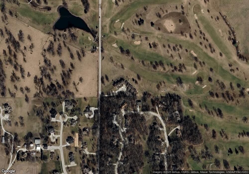
Map
Nearby Homes
- 2822 Country Club Dr
- 501 W 29th St
- 3107 Palm St
- 101 E 21st St
- 1507 Teresa Dr
- 104 E 22nd St
- 1505 Teresa Dr
- 204 E 22nd St Unit 7
- 406 W 14th St
- 1801 Bryn Mawr Blvd
- 305 E 21st St
- 9 Ridge Rd
- 1606 Waddell Dr
- 2110 Oak St
- 1824 Bryn Mawr Cir
- 1603 Bryn Mawr Blvd
- 1312 Sunnyside Ln
- 1314 Chestnut St
- 1303 Chestnut St
- 1901 Hillcrest Dr
- 2500 Palm St
- 2500 Palm St
- 2500 Palm St
- 2500 Palm St
- 2500 Palm St
- 2500 Palm St Unit 103
- 2500 Palm St Unit 102
- 2816 Country Club Dr
- 2503 Palm St
- 2814 Country Club Dr
- 2818 Country Club Dr
- 2505 Palm St
- 2817 Country Club Dr
- 2809 Country Club Dr
- 2820 Country Club Dr
- 2819 Country Club Dr
- 2603 Palm St
- 2602 Country Oak Dr
- 2810 Country Club Dr
- 2503 Country Oak Dr