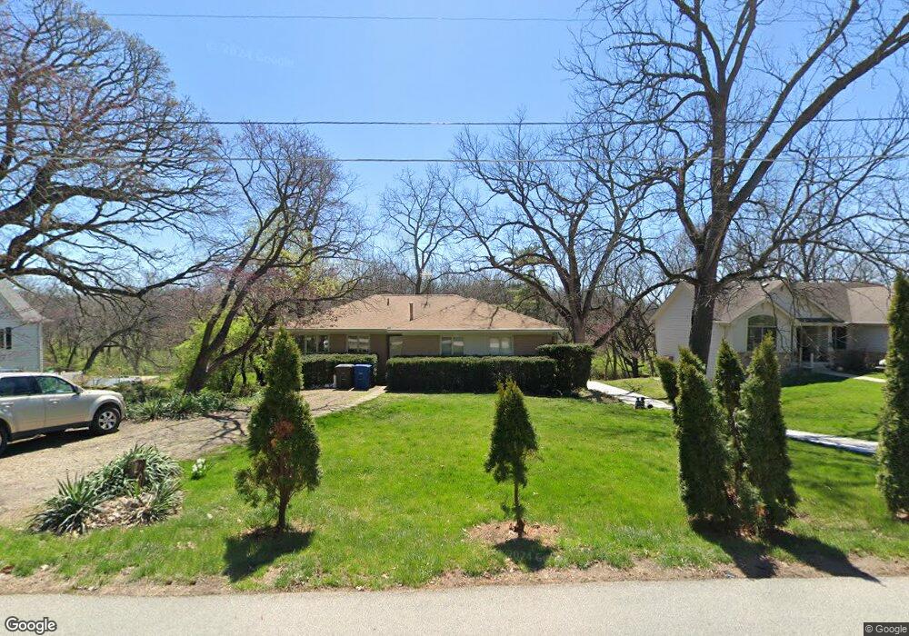
2500 Thornton Ave Des Moines, IA 50321
Southwestern Hills NeighborhoodEstimated Value: $330,000 - $418,000
3
Beds
2
Baths
1,585
Sq Ft
$237/Sq Ft
Est. Value
About This Home
This home is located at 2500 Thornton Ave, Des Moines, IA 50321 and is currently estimated at $375,142, approximately $236 per square foot. 2500 Thornton Ave is a home located in Polk County with nearby schools including Jefferson Elementary School, Brody Middle School, and Lincoln High School.
Ownership History
Date
Name
Owned For
Owner Type
Purchase Details
Closed on
Oct 3, 2007
Sold by
Davis John F
Bought by
Harrison Joseph M
Current Estimated Value
Home Financials for this Owner
Home Financials are based on the most recent Mortgage that was taken out on this home.
Original Mortgage
$81,750
Interest Rate
6.2%
Mortgage Type
Purchase Money Mortgage
Create a Home Valuation Report for This Property
The Home Valuation Report is an in-depth analysis detailing your home's value as well as a comparison with similar homes in the area
Home Values in the Area
Average Home Value in this Area
Purchase History
| Date | Buyer | Sale Price | Title Company |
|---|---|---|---|
| Harrison Joseph M | $214,500 | Itc |
Source: Public Records
Mortgage History
| Date | Status | Borrower | Loan Amount |
|---|---|---|---|
| Closed | Harrison Joseph M | $81,750 |
Source: Public Records
Tax History Compared to Growth
Tax History
| Year | Tax Paid | Tax Assessment Tax Assessment Total Assessment is a certain percentage of the fair market value that is determined by local assessors to be the total taxable value of land and additions on the property. | Land | Improvement |
|---|---|---|---|---|
| 2024 | $5,356 | $272,260 | $79,660 | $192,600 |
| 2023 | $4,906 | $309,200 | $105,100 | $204,100 |
| 2022 | $4,868 | $240,100 | $84,400 | $155,700 |
| 2021 | $4,914 | $228,600 | $84,400 | $144,200 |
| 2020 | $5,104 | $216,200 | $79,700 | $136,500 |
| 2019 | $4,730 | $216,200 | $79,700 | $136,500 |
| 2018 | $4,682 | $192,800 | $69,400 | $123,400 |
| 2017 | $4,256 | $192,800 | $69,400 | $123,400 |
| 2016 | $4,146 | $172,200 | $61,300 | $110,900 |
| 2015 | $4,146 | $172,200 | $61,300 | $110,900 |
| 2014 | $4,036 | $172,300 | $60,700 | $111,600 |
Source: Public Records
Map
Nearby Homes
- 5822 Rose Cir
- 5821 Rose Cir
- 5817 Rose Cir
- 5815 Rose Cir
- 5813 Rose Cir
- 3500 SW 28th St
- 3621 Wakonda Dr
- 4440 SW 23rd St
- 3212 Wauwatosa Dr
- 2900 Caulder Ave
- 3921 SW 29th St
- 3120 Fleur Dr
- 2906 Watrous Ave
- 3407 SW 31st St
- 3131 Fleur Dr Unit 206 & 208
- 1914 Park Ave
- 1902 Park Ave
- 2900 Virginia Place
- 2400 Stanton Ave
- 1840 Park Ave
- 2510 Thornton Ave
- 2400 Thornton Ave
- 2520 Thornton Ave
- 2526 Thornton Ave
- 2501 Thornton Ave
- 2342 Thornton Dr
- 2311 Thornton Ave
- 5819 Rose Cir
- 5805 Rose Cir
- 2542 Thornton Ave
- 3609 SW 26th St
- 3625 SW 26th St
- 3416 SW 24th St
- 2307 Thornton Ave
- 3711 SW 26th St
- 2341 Thornton Dr
- 2555 Thornton Ave
- 3419 SW 24th St
- 2240 Thornton Dr
- 2305 Thornton Ave