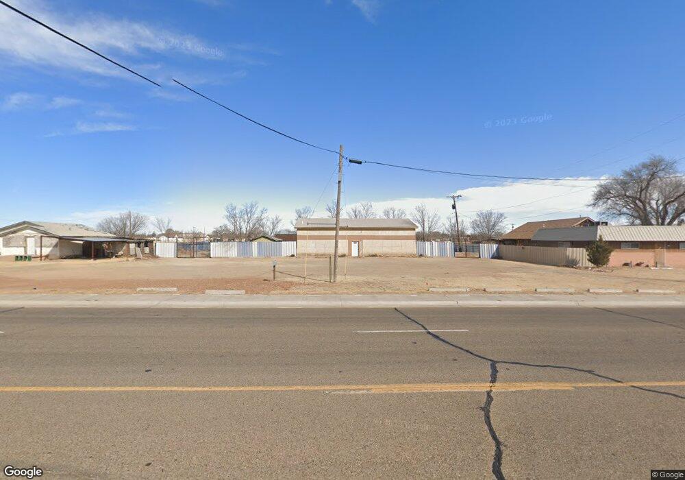
2500 W 7th St Clovis, NM 88101
Estimated Value: $107,000
Studio
1
Bath
1,800
Sq Ft
$59/Sq Ft
Est. Value
About This Home
This home is located at 2500 W 7th St, Clovis, NM 88101 and is currently estimated at $107,000, approximately $59 per square foot. 2500 W 7th St is a home located in Curry County with nearby schools including Arts Academy at Bella Vista, WD Gattis Middle School, and Clovis High School Freshman Academy.
Ownership History
Date
Name
Owned For
Owner Type
Purchase Details
Closed on
Jun 15, 2024
Sold by
Williams Dana L
Bought by
Home 4U Properties Llc
Current Estimated Value
Home Financials for this Owner
Home Financials are based on the most recent Mortgage that was taken out on this home.
Original Mortgage
$147,000
Outstanding Balance
$105,804
Interest Rate
0.61%
Mortgage Type
Construction
Estimated Equity
$1,196
Purchase Details
Closed on
Aug 24, 2021
Sold by
Williams Dana L
Bought by
Williams Dana Lee
Purchase Details
Closed on
Jan 1, 2000
Bought by
Durham George W
Create a Home Valuation Report for This Property
The Home Valuation Report is an in-depth analysis detailing your home's value as well as a comparison with similar homes in the area
Purchase History
| Date | Buyer | Sale Price | Title Company |
|---|---|---|---|
| Home 4U Properties Llc | $183,750 | Curry Cnty Abstract & Title Co | |
| Williams Dana Lee | -- | -- | |
| Durham George W | -- | -- |
Source: Public Records
Mortgage History
| Date | Status | Borrower | Loan Amount |
|---|---|---|---|
| Open | Home 4U Properties Llc | $147,000 |
Source: Public Records
Tax History
| Year | Tax Paid | Tax Assessment Tax Assessment Total Assessment is a certain percentage of the fair market value that is determined by local assessors to be the total taxable value of land and additions on the property. | Land | Improvement |
|---|---|---|---|---|
| 2025 | $386 | $16,691 | $3,527 | $13,164 |
| 2024 | $386 | $16,065 | $3,527 | $12,538 |
| 2023 | $387 | $15,468 | $3,527 | $11,941 |
| 2022 | $393 | $15,468 | $3,527 | $11,941 |
| 2021 | $378 | $15,468 | $3,527 | $11,941 |
| 2020 | $378 | $15,468 | $3,527 | $11,941 |
| 2019 | $377 | $15,468 | $3,527 | $11,941 |
| 2018 | $374 | $15,297 | $3,527 | $11,770 |
| 2017 | $341 | $14,737 | $3,527 | $11,210 |
| 2016 | $341 | $14,204 | $3,527 | $10,677 |
| 2015 | $335 | $13,696 | $3,527 | $10,169 |
| 2014 | $335 | $13,696 | $3,527 | $10,169 |
Source: Public Records
Map
Nearby Homes
- 301 Industrial Park Rd
- 321 Industrial Park Rd
- 312 Cortez
- 316 Cortez St
- 320 Cortez St
- 308 Cortez St
- 300 Cortez St
- 1124 Gila St
- 1200 Hondo St
- 3600 Sheridan St
- 1121 Traver St
- 1312 Coyote Rd
- 404 N Upsilon St
- 000 W Grand Ave
- 3808 Buchanan Ct
- 3817 Buchanan Ct
- 3812 Buchanan Ct
- 3300 Cesar Chavez Dr
- 3228 Weston St
- 1929 Dale St
Your Personal Tour Guide
Ask me questions while you tour the home.