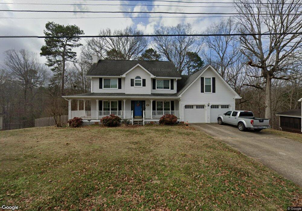
2500 W Wind Dr Soddy-Daisy, TN 37379
Estimated Value: $392,796 - $448,000
3
Beds
3
Baths
2,285
Sq Ft
$184/Sq Ft
Est. Value
About This Home
This home is located at 2500 W Wind Dr, Soddy-Daisy, TN 37379 and is currently estimated at $419,949, approximately $183 per square foot. 2500 W Wind Dr is a home located in Hamilton County with nearby schools including Loftis Middle School.
Ownership History
Date
Name
Owned For
Owner Type
Purchase Details
Closed on
Dec 18, 2020
Sold by
Parton Betty Jane
Bought by
Sanders William and Sanders Tamara
Current Estimated Value
Home Financials for this Owner
Home Financials are based on the most recent Mortgage that was taken out on this home.
Original Mortgage
$206,320
Outstanding Balance
$183,686
Interest Rate
2.7%
Mortgage Type
New Conventional
Estimated Equity
$236,263
Purchase Details
Closed on
Apr 2, 2004
Sold by
Parton Jeffrey S
Bought by
Parton Betty Jane
Purchase Details
Closed on
May 30, 1995
Sold by
Armstrong Joel L and Armstrong Kimberl
Bought by
Parton Jeffrey S and Parton Betty J
Create a Home Valuation Report for This Property
The Home Valuation Report is an in-depth analysis detailing your home's value as well as a comparison with similar homes in the area
Home Values in the Area
Average Home Value in this Area
Purchase History
| Date | Buyer | Sale Price | Title Company |
|---|---|---|---|
| Sanders William | $257,900 | Title Insurance Co | |
| Parton Betty Jane | -- | -- | |
| Parton Jeffrey S | $120,000 | -- |
Source: Public Records
Mortgage History
| Date | Status | Borrower | Loan Amount |
|---|---|---|---|
| Open | Sanders William | $206,320 |
Source: Public Records
Tax History Compared to Growth
Tax History
| Year | Tax Paid | Tax Assessment Tax Assessment Total Assessment is a certain percentage of the fair market value that is determined by local assessors to be the total taxable value of land and additions on the property. | Land | Improvement |
|---|---|---|---|---|
| 2024 | $1,533 | $68,500 | $0 | $0 |
| 2023 | $1,542 | $68,500 | $0 | $0 |
| 2022 | $1,542 | $68,500 | $0 | $0 |
| 2021 | $1,542 | $68,500 | $0 | $0 |
| 2020 | $1,448 | $52,025 | $0 | $0 |
| 2019 | $1,448 | $52,025 | $0 | $0 |
| 2018 | $1,448 | $52,025 | $0 | $0 |
| 2017 | $1,439 | $52,025 | $0 | $0 |
| 2016 | $1,258 | $0 | $0 | $0 |
| 2015 | $1,258 | $45,175 | $0 | $0 |
| 2014 | $1,258 | $0 | $0 | $0 |
Source: Public Records
Map
Nearby Homes
- 2522 W Wind Dr
- 9802 Shoreline Heights Dr
- 9955 Rolling Wind Dr
- 9901 Breeze Hill Ln
- 1834 Breeze Dr
- 10041 Rolling Wind Dr
- 2033 Angler Dr
- 10105 Hixson Pike
- 9824 Waterside Way
- 1724 Magnum Ln
- 10160 Hunters Hollow Dr
- 10166 Hunters Hollow Dr
- 11111 Hixson Pike
- 2031 Millard Rd
- 2109 Millard Rd
- 2316 Lakesite Dr
- 2316 Green Valley Rd
- 2228 Lakesite Dr
- 1818 Millard Rd
- 2320 Collins Ln
- 2500 Westwind Dr
- 2504 Westwind Dr
- 2432 Westwind Dr
- 2501 Westwind Dr
- 2431 W Wind Dr
- 2431 Wendy Cir
- 2431 Westwind Dr
- 2206 Rolling Shores Cir
- 2505 Westwind Dr
- 2505 Wendy Cir
- 2428 W Wind Dr
- 2428 W Wind Dr
- 2428 W Wind Dr
- 2427 W Wind Dr
- 2508 Westwind Dr
- 2507 Westwind Dr
- 2427 Wendy Cir
- 2427 Westwind Dr
- 2508 W Wind Dr
- 9906 Whirling Wind Ln