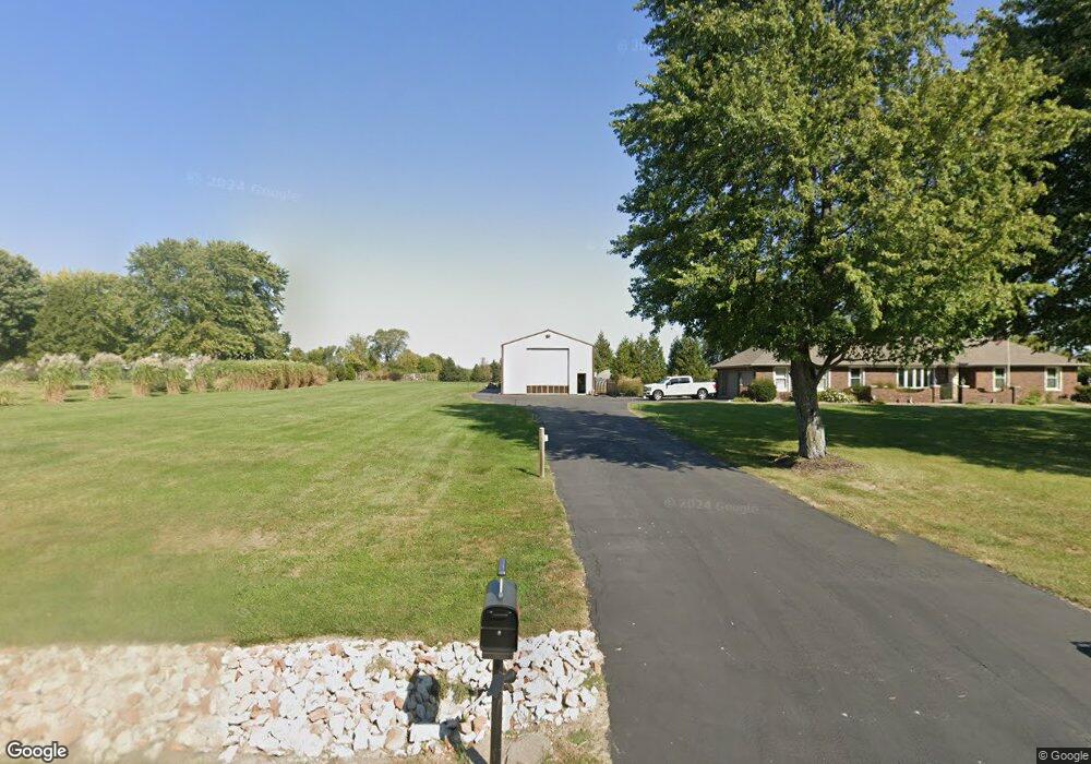
25006 E Langsford Rd Lees Summit, MO 64086
Estimated Value: $518,485 - $634,000
4
Beds
6
Baths
1,628
Sq Ft
$354/Sq Ft
Est. Value
About This Home
This home is located at 25006 E Langsford Rd, Lees Summit, MO 64086 and is currently estimated at $576,871, approximately $354 per square foot. 25006 E Langsford Rd is a home located in Jackson County with nearby schools including Mason Elementary School, Bernard C. Campbell Middle School, and Lee's Summit North High School.
Ownership History
Date
Name
Owned For
Owner Type
Purchase Details
Closed on
May 28, 2009
Sold by
A & B Partners Llc
Bought by
Mccracken Richard N and Mccracken Lisa K
Current Estimated Value
Home Financials for this Owner
Home Financials are based on the most recent Mortgage that was taken out on this home.
Original Mortgage
$244,000
Outstanding Balance
$153,416
Interest Rate
4.76%
Mortgage Type
Purchase Money Mortgage
Estimated Equity
$423,455
Purchase Details
Closed on
Jan 8, 2008
Sold by
Fisk Douglas A and Fisk Cynthia L
Bought by
A & B Partners Llc
Purchase Details
Closed on
Jul 23, 2001
Sold by
Fisk Cynthia L
Bought by
Fisk Douglas A
Purchase Details
Closed on
Jun 16, 2000
Sold by
Blanton Denis J and Blanton Patricia A
Bought by
Fisk Douglas A and Fisk Cynthia L
Home Financials for this Owner
Home Financials are based on the most recent Mortgage that was taken out on this home.
Original Mortgage
$171,000
Interest Rate
8.66%
Mortgage Type
Purchase Money Mortgage
Create a Home Valuation Report for This Property
The Home Valuation Report is an in-depth analysis detailing your home's value as well as a comparison with similar homes in the area
Purchase History
| Date | Buyer | Sale Price | Title Company |
|---|---|---|---|
| Mccracken Richard N | -- | Kansas City Title | |
| A & B Partners Llc | $157,321 | None Available | |
| Fisk Douglas A | -- | Ati Title Company | |
| Fisk Douglas A | -- | Montgomery Home Title |
Source: Public Records
Mortgage History
| Date | Status | Borrower | Loan Amount |
|---|---|---|---|
| Open | Mccracken Richard N | $244,000 | |
| Previous Owner | Fisk Douglas A | $171,000 |
Source: Public Records
Tax History
| Year | Tax Paid | Tax Assessment Tax Assessment Total Assessment is a certain percentage of the fair market value that is determined by local assessors to be the total taxable value of land and additions on the property. | Land | Improvement |
|---|---|---|---|---|
| 2025 | $4,174 | $67,844 | $23,414 | $44,430 |
| 2024 | $4,132 | $59,880 | $15,726 | $44,154 |
| 2023 | $4,132 | $59,881 | $16,844 | $43,037 |
| 2022 | $4,023 | $51,300 | $7,353 | $43,947 |
| 2021 | $3,847 | $51,300 | $7,353 | $43,947 |
| 2020 | $3,812 | $48,932 | $7,353 | $41,579 |
| 2019 | $3,725 | $48,932 | $7,353 | $41,579 |
| 2018 | $3,466 | $42,292 | $7,834 | $34,458 |
| 2016 | $3,411 | $41,232 | $9,643 | $31,589 |
Source: Public Records
Map
Nearby Homes
- 10705 Wildflower Dr
- 10304 Howard Rd
- 3213 SE Mill Creek Ln
- 503 NE Legacy Wood Cir
- 2721 SE 2nd St
- 2633 E Langsford Rd
- 14017 Crawford Creek Cir
- 13904 Crawford Creek Cir
- 14412 Stringtown Ct
- 13932 Crawford Creek Ct
- 14409 Stringtown Ct
- 14516 Stringtown Dr
- 14403 Stringtown Ct
- 13908 Crawford Creek Cir
- 14502 Stringtown Cir
- 325 SE Canterbury Ln
- 521 SE Asheville Dr
- 2616 SE Winchester Dr
- 2501 NE Dale Hunter Trail
- 2504 NE Dale Hunter Trail
- 24906 E Langsford Rd
- 10919 Milton Thompson Rd
- 10901 Milton Thompson Rd
- 10825 Milton Thompson Rd
- 10907 Milton Thompson Rd
- 10813 Milton Thompson Rd
- 10900 Milton Thompson Rd
- 10818 Milton Thompson Rd
- 24609 E Langsford Rd
- 10810 Milton Thompson Rd
- 10719 Milton Thompson Rd
- 10721 Milton Thompson Rd
- 11120 Milton Thompson Rd
- 10802 Milton Thompson Rd
- 25203 Milton Thompson Rd
- 24505 E Langsford Rd
- 10718 Milton Thompson Rd
- 11200 Milton Thompson Rd
- 10711 Milton Thompson Rd
- 24501 E Langsford Rd
Your Personal Tour Guide
Ask me questions while you tour the home.