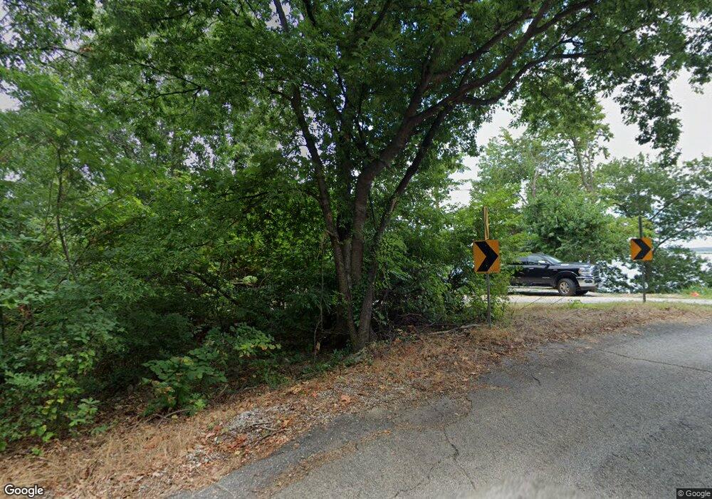
Estimated Value: $36,000 - $207,000
--
Bed
--
Bath
--
Sq Ft
0.35
Acres
About This Home
This home is located at 25006 S 640 Rd, Grove, OK 74344 and is currently estimated at $109,333. 25006 S 640 Rd is a home located in Delaware County with nearby schools including Grove Lower Elementary School, Grove Upper Elementary School, and Grove Middle School.
Ownership History
Date
Name
Owned For
Owner Type
Purchase Details
Closed on
Aug 5, 2025
Sold by
Mathews Michael Perry and Mathew Loriann
Bought by
Bronson Richard D and Bronson Teresa A
Current Estimated Value
Purchase Details
Closed on
May 13, 2025
Sold by
Mathews Lori Ann and Mathews Michael Perry
Bought by
Michael Perry Mathews And Loriann Mathews Fam and Mathews
Purchase Details
Closed on
Oct 13, 2011
Sold by
Steenrod Sharon Lea
Bought by
Elk River 200 Llc
Create a Home Valuation Report for This Property
The Home Valuation Report is an in-depth analysis detailing your home's value as well as a comparison with similar homes in the area
Home Values in the Area
Average Home Value in this Area
Purchase History
| Date | Buyer | Sale Price | Title Company |
|---|---|---|---|
| Bronson Richard D | $90,000 | None Listed On Document | |
| Bronson Richard D | $90,000 | None Listed On Document | |
| Michael Perry Mathews And Loriann Mathews Fam | -- | None Listed On Document | |
| Michael Perry Mathews And Loriann Mathews Fam | -- | None Listed On Document | |
| Elk River 200 Llc | $63,000 | -- |
Source: Public Records
Tax History Compared to Growth
Tax History
| Year | Tax Paid | Tax Assessment Tax Assessment Total Assessment is a certain percentage of the fair market value that is determined by local assessors to be the total taxable value of land and additions on the property. | Land | Improvement |
|---|---|---|---|---|
| 2025 | $326 | $4,025 | $4,025 | $0 |
| 2024 | $326 | $4,025 | $4,025 | $0 |
| 2023 | $326 | $4,025 | $4,025 | $0 |
| 2022 | $336 | $4,025 | $4,025 | $0 |
| 2021 | $335 | $4,025 | $4,025 | $0 |
| 2020 | $373 | $11,500 | $11,500 | $0 |
| 2019 | $357 | $4,193 | $4,193 | $0 |
| 2018 | $339 | $4,193 | $4,193 | $0 |
| 2017 | $324 | $3,994 | $3,994 | $0 |
| 2016 | $308 | $3,804 | $3,804 | $0 |
| 2015 | $298 | $3,450 | $3,450 | $0 |
| 2014 | $299 | $3,450 | $3,450 | $0 |
Source: Public Records
Map
Nearby Homes
- 63320 E 293 Rd
- 5 E 280 Rd
- 62185 E 270
- 33021 S 625
- 63176 E 282 Rd
- 28190 S 630 Rd
- 28241 S 630 Rd
- 28231 S 630 Rd
- 63340 E 277 Ct
- 62951 E 280 Rd
- 1129 Center Court Cir
- 1123 Center Court Cir
- 1121 Center Court Cir
- 1119 Center Court Cir
- 1117 Center Court Cir
- 11 E 280 Rd
- TBD E 280 Rd
- 62717 E 280 Rd
- 63100 E 291 Rd
- 100 Zachary Dr
- 26911 S 640 Rd
- 26951 S 640 Rd
- 26871 S 640 Rd
- 26831 S 640 Rd
- 26791 S 640 Rd
- 12-1732 S 640 Rd
- 26971 S 640 Rd
- S. Tract S 640 Rd
- N Tract S 640 Rd
- 2107 Industrial Park Rd
- 64100 E 288 Rd
- 0 E 288 Rd Unit 14-2179
- 0 E 288 Rd Unit 21-2286
- TBD E 288 Rd
- 28801 S 640 Rd
- 0 2 66 Acres Industrial Rd Unit 15-121
- 29510 S 640 Rd
- 28921 S 624 Rd
- 510 S 640 Rd
- 0 Ind 8 Hv
