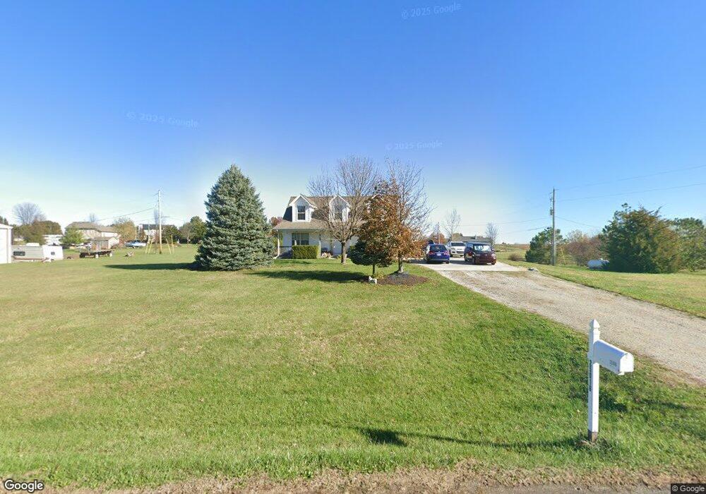
25016 165th St Leavenworth, KS 66048
Estimated Value: $366,510 - $468,000
4
Beds
3
Baths
1,729
Sq Ft
$231/Sq Ft
Est. Value
About This Home
This home is located at 25016 165th St, Leavenworth, KS 66048 and is currently estimated at $399,628, approximately $231 per square foot. 25016 165th St is a home located in Leavenworth County with nearby schools including Lansing Elementary School, Lansing Middle 6-8, and Lansing High 9-12.
Ownership History
Date
Name
Owned For
Owner Type
Purchase Details
Closed on
Sep 1, 2003
Bought by
Sandow Jeremiah D and Massengill Katy J
Current Estimated Value
Home Financials for this Owner
Home Financials are based on the most recent Mortgage that was taken out on this home.
Original Mortgage
$128,000
Outstanding Balance
$84,717
Interest Rate
6.32%
Mortgage Type
New Conventional
Estimated Equity
$314,911
Create a Home Valuation Report for This Property
The Home Valuation Report is an in-depth analysis detailing your home's value as well as a comparison with similar homes in the area
Home Values in the Area
Average Home Value in this Area
Purchase History
| Date | Buyer | Sale Price | Title Company |
|---|---|---|---|
| Sandow Jeremiah D | $108,500 | -- |
Source: Public Records
Mortgage History
| Date | Status | Borrower | Loan Amount |
|---|---|---|---|
| Open | Sandow Jeremiah D | $128,000 | |
| Closed | Sandow Jeremiah D | $128,500 |
Source: Public Records
Tax History Compared to Growth
Tax History
| Year | Tax Paid | Tax Assessment Tax Assessment Total Assessment is a certain percentage of the fair market value that is determined by local assessors to be the total taxable value of land and additions on the property. | Land | Improvement |
|---|---|---|---|---|
| 2025 | $4,503 | $35,180 | $6,930 | $28,250 |
| 2024 | $4,247 | $33,826 | $8,179 | $25,647 |
| 2023 | $4,247 | $32,841 | $8,179 | $24,662 |
| 2022 | $4,038 | $29,855 | $5,552 | $24,303 |
| 2021 | $3,823 | $27,474 | $4,669 | $22,805 |
| 2020 | $3,542 | $24,621 | $4,493 | $20,128 |
| 2019 | $3,421 | $23,540 | $4,148 | $19,392 |
| 2018 | $3,204 | $21,702 | $3,228 | $18,474 |
| 2017 | $3,213 | $21,702 | $3,029 | $18,673 |
| 2016 | $2,862 | $20,309 | $2,998 | $17,311 |
| 2015 | $2,655 | $19,472 | $2,998 | $16,474 |
| 2014 | $2,551 | $18,905 | $2,998 | $15,907 |
Source: Public Records
Map
Nearby Homes
- 16430 Dana Ln
- 00000 Gilman Rd
- Lot 6 163rd St
- 24450 171st St
- 25770 Tonganoxie Dr
- 25030 177th Terrace
- 25055 Woodridge Cir
- 17860 Clearview Dr
- 1221 S Desoto Rd
- 000 4-H Rd
- 833 Rock Creek Dr
- 15280 Roger Rd
- 875 Clearview Dr
- 811 4-H Rd
- 705 Rock Creek Dr
- 0000 Eisenhower Rd
- 16055 W Eisenhower Rd
- 15915 Eisenhower Rd
- 17096 Eisenhower Rd
- 922 Southfork St