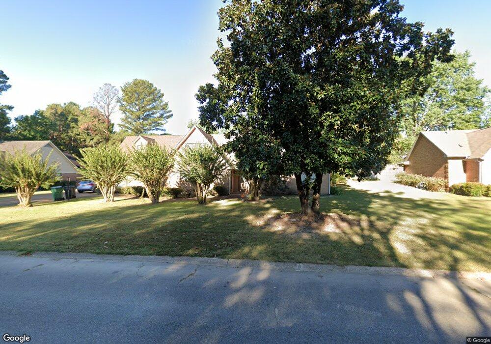
2502 Philp Dr Tupelo, MS 38801
Estimated Value: $249,000 - $322,000
--
Bed
--
Bath
2,195
Sq Ft
$134/Sq Ft
Est. Value
About This Home
This home is located at 2502 Philp Dr, Tupelo, MS 38801 and is currently estimated at $293,854, approximately $133 per square foot. 2502 Philp Dr is a home located in Lee County with nearby schools including Lawndale Elementary School, Parkway Elementary School, and Tupelo Middle School.
Ownership History
Date
Name
Owned For
Owner Type
Purchase Details
Closed on
Dec 14, 2018
Sold by
Harrington Anthony J
Bought by
Whitfield William Lecorey and White Crystal L
Current Estimated Value
Home Financials for this Owner
Home Financials are based on the most recent Mortgage that was taken out on this home.
Original Mortgage
$186,558
Outstanding Balance
$166,185
Interest Rate
5.37%
Mortgage Type
FHA
Estimated Equity
$127,669
Purchase Details
Closed on
Mar 15, 2016
Sold by
Harrington William and Harrington Carol
Bought by
Harrington Anthony
Create a Home Valuation Report for This Property
The Home Valuation Report is an in-depth analysis detailing your home's value as well as a comparison with similar homes in the area
Home Values in the Area
Average Home Value in this Area
Purchase History
| Date | Buyer | Sale Price | Title Company |
|---|---|---|---|
| Whitfield William Lecorey | -- | None Available | |
| Harrington Anthony | -- | -- |
Source: Public Records
Mortgage History
| Date | Status | Borrower | Loan Amount |
|---|---|---|---|
| Open | Whitfield William Lecorey | $186,558 |
Source: Public Records
Tax History Compared to Growth
Tax History
| Year | Tax Paid | Tax Assessment Tax Assessment Total Assessment is a certain percentage of the fair market value that is determined by local assessors to be the total taxable value of land and additions on the property. | Land | Improvement |
|---|---|---|---|---|
| 2024 | $2,658 | $19,547 | $0 | $0 |
| 2023 | $2,272 | $16,976 | $0 | $0 |
| 2022 | $1,972 | $16,976 | $0 | $0 |
| 2021 | $1,972 | $16,976 | $0 | $0 |
| 2020 | $2,272 | $16,976 | $0 | $0 |
| 2019 | $1,872 | $16,231 | $0 | $0 |
| 2018 | $1,872 | $16,231 | $0 | $0 |
| 2017 | $1,864 | $16,231 | $0 | $0 |
| 2016 | $3,246 | $24,347 | $0 | $0 |
| 2015 | $1,761 | $15,514 | $0 | $0 |
| 2014 | $1,761 | $15,514 | $0 | $0 |
Source: Public Records
Map
Nearby Homes
- 103 Hinton Cir
- 2428 Lawndale Dr
- 1409 Staci Cir
- 1913 Pheasant Run
- 0 Southridge Dr
- 2010 Lawndale Dr
- 0 (3 Acres) S Thomas St
- 2284 Kimbrough Ave
- 0 Cliff Gookin Blvd
- 2 ac Cliff Gookin Blvd
- 911 Rockefeller Ave
- Lot 1 Dunbarton Place
- 1154 S Thomas St
- 1501 Fillmore Dr
- 0 Mitchell Rd
- 1587 Larkspur Cir
- 0 William St
- 0 Parish Dr
- 0 Cliff Gookin