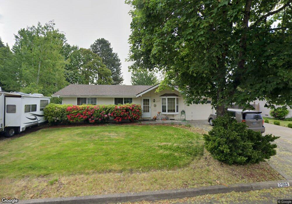
2503 Donegal St Eugene, OR 97404
Santa Clara NeighborhoodEstimated Value: $305,000 - $352,516
About This Home
This home is located at 2503 Donegal St, Eugene, OR 97404 and is currently estimated at $331,379, approximately $363 per square foot. 2503 Donegal St is a home located in Lane County with nearby schools including Spring Creek Elementary School, Madison Middle School, and North Eugene High School.
Ownership History
We collect this data history from publicly available records. To have your information removed, we recommend requesting removal directly through your county’s website.
Purchase Details
Home Financials for this Owner
Home Financials are based on the most recent Mortgage that was taken out on this home.Home Values in the Area
Average Home Value in this Area
Purchase History
We collect this data history from publicly available records. To have your information removed, we recommend requesting removal directly through your county’s website.
| Date | Buyer | Sale Price | Title Company |
|---|---|---|---|
| -- | Evergreen Land Title Company |
Mortgage History
We collect this data history from publicly available records. To have your information removed, we recommend requesting removal directly through your county’s website.
| Date | Status | Borrower | Loan Amount |
|---|---|---|---|
| Closed | $61,700 |
Tax History
We collect this data history from publicly available records. To have your information removed, we recommend requesting removal directly through your county’s website.
| Year | Tax Paid | Tax Assessment Tax Assessment Total Assessment is a certain percentage of the fair market value that is determined by local assessors to be the total taxable value of land and additions on the property. | Land | Improvement |
|---|---|---|---|---|
| 2025 | $1,884 | $147,228 | -- | -- |
| 2024 | $1,875 | $142,940 | -- | -- |
| 2023 | $1,875 | $138,777 | $0 | $0 |
| 2022 | $1,762 | $134,735 | $0 | $0 |
| 2021 | $1,617 | $130,811 | $0 | $0 |
| 2020 | $1,647 | $127,001 | $0 | $0 |
| 2019 | $1,586 | $123,302 | $0 | $0 |
| 2018 | $1,460 | $116,224 | $0 | $0 |
| 2017 | $1,403 | $116,224 | $0 | $0 |
| 2016 | $1,352 | $112,839 | $0 | $0 |
| 2015 | $1,297 | $109,552 | $0 | $0 |
| 2014 | $1,213 | $106,361 | $0 | $0 |
Map
- 725 Heywood Ave
- 2690 Carbona St
- 831 Greenwich Ave
- 2562 Dover Dr
- 2565 Dover Dr
- 1140 Molly Ln
- 352 Ruby Ave
- 325 Bushnell Ln
- 2488 Northampton
- 2412 Dalton Dr
- 445 Sterling Dr
- 215 Jonquil Ave
- 1215 Irving Rd
- 2439 Quince St
- 219 Federal Ln
- 2610 Crowther Dr
- 1755 Brentwood Ave
- 2952 Shelby Way
- 987 Travis Ave
- 143 Ferndale Dr
Ask me questions while you tour the home.