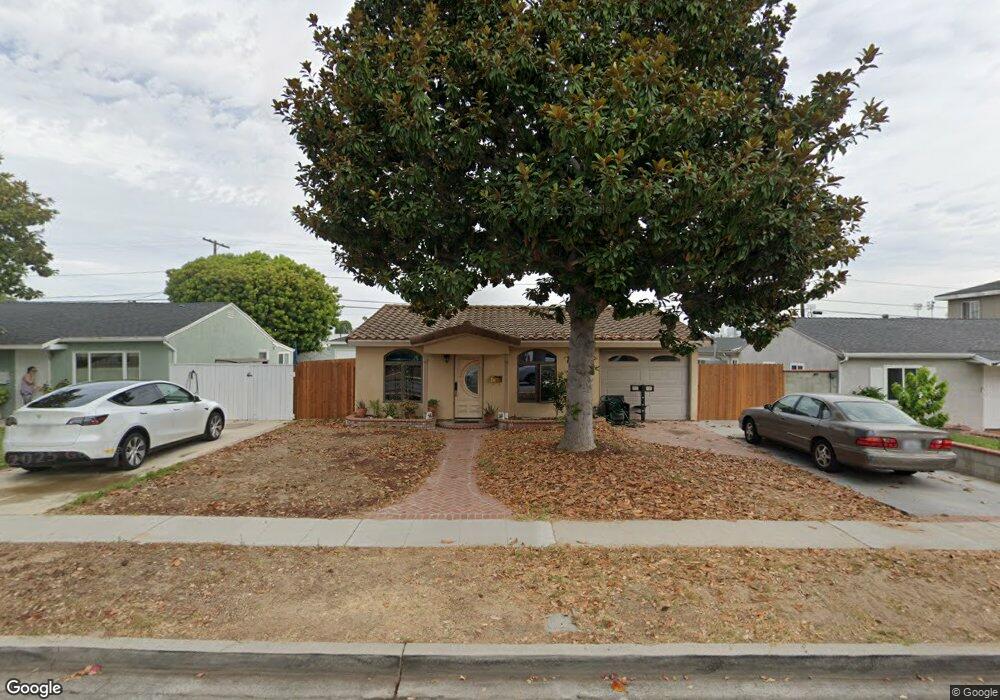
2505 184th St Redondo Beach, CA 90278
North Redondo Beach NeighborhoodEstimated Value: $1,092,000 - $1,332,000
3
Beds
2
Baths
1,200
Sq Ft
$1,030/Sq Ft
Est. Value
About This Home
This home is located at 2505 184th St, Redondo Beach, CA 90278 and is currently estimated at $1,236,099, approximately $1,030 per square foot. 2505 184th St is a home located in Los Angeles County with nearby schools including Washington Elementary School, Adams Middle School, and Redondo Union High School.
Ownership History
Date
Name
Owned For
Owner Type
Purchase Details
Closed on
Jun 21, 1999
Sold by
Marietta L Chamberlin Trust and Ronald James
Bought by
Hanks Robert Lowery
Current Estimated Value
Home Financials for this Owner
Home Financials are based on the most recent Mortgage that was taken out on this home.
Original Mortgage
$228,000
Outstanding Balance
$63,062
Interest Rate
7.64%
Estimated Equity
$1,173,037
Purchase Details
Closed on
Aug 19, 1993
Sold by
Chamberlin Marietta L
Bought by
Chamberlin Marietta L and The Marietta L Chamberlin Living Trust
Create a Home Valuation Report for This Property
The Home Valuation Report is an in-depth analysis detailing your home's value as well as a comparison with similar homes in the area
Home Values in the Area
Average Home Value in this Area
Purchase History
| Date | Buyer | Sale Price | Title Company |
|---|---|---|---|
| Hanks Robert Lowery | $240,000 | Southland Title | |
| Chamberlin Marietta L | -- | -- |
Source: Public Records
Mortgage History
| Date | Status | Borrower | Loan Amount |
|---|---|---|---|
| Open | Hanks Robert Lowery | $228,000 |
Source: Public Records
Tax History Compared to Growth
Tax History
| Year | Tax Paid | Tax Assessment Tax Assessment Total Assessment is a certain percentage of the fair market value that is determined by local assessors to be the total taxable value of land and additions on the property. | Land | Improvement |
|---|---|---|---|---|
| 2025 | $5,686 | $442,629 | $295,089 | $147,540 |
| 2024 | $5,686 | $433,951 | $289,303 | $144,648 |
| 2023 | $5,589 | $425,443 | $283,631 | $141,812 |
| 2022 | $5,473 | $417,102 | $278,070 | $139,032 |
| 2021 | $5,321 | $408,924 | $272,618 | $136,306 |
| 2019 | $5,178 | $396,797 | $264,533 | $132,264 |
| 2018 | $5,010 | $389,018 | $259,347 | $129,671 |
| 2016 | $4,845 | $373,914 | $249,277 | $124,637 |
| 2015 | $4,761 | $368,298 | $245,533 | $122,765 |
| 2014 | $4,695 | $361,085 | $240,724 | $120,361 |
Source: Public Records
Map
Nearby Homes
- 2420 Ives Ln Unit B
- 2420 Ives Ln Unit A
- 907 Lilienthal Ln
- 2600 Alvord Ln
- 2617 Alvord Ln
- 2617 182nd St
- 2708 183rd St
- 2708 184th St
- 2407 Ripley Ave
- 2400 Marshallfield Ln
- 1300 Firmona Ave
- 2517 Huntington Ln Unit B
- 2321 Clark Ln Unit B
- 2321 Clark Ln Unit A
- 2604 Grant Ave Unit B
- 2604 Grant Ave Unit C
- 2604 Grant Ave Unit A
- 2706 Grant Ave Unit A
- 2420 Grant Ave
- 2345 190th St Unit 42