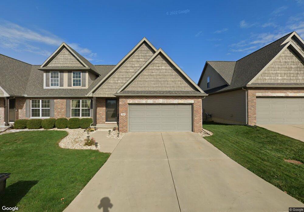
2506 Shepard Rd Normal, IL 61761
Eagles Landing NeighborhoodEstimated Value: $332,381 - $399,000
3
Beds
3
Baths
2,950
Sq Ft
$123/Sq Ft
Est. Value
About This Home
This home is located at 2506 Shepard Rd, Normal, IL 61761 and is currently estimated at $362,345, approximately $122 per square foot. 2506 Shepard Rd is a home located in McLean County with nearby schools including Sugar Creek Elementary School, Kingsley Junior High School, and Normal Community High School.
Ownership History
Date
Name
Owned For
Owner Type
Purchase Details
Closed on
Feb 26, 2013
Sold by
Idev Llc
Bought by
Shannon Tim and Shannon Janet
Current Estimated Value
Home Financials for this Owner
Home Financials are based on the most recent Mortgage that was taken out on this home.
Original Mortgage
$211,950
Outstanding Balance
$149,228
Interest Rate
3.49%
Estimated Equity
$213,117
Create a Home Valuation Report for This Property
The Home Valuation Report is an in-depth analysis detailing your home's value as well as a comparison with similar homes in the area
Home Values in the Area
Average Home Value in this Area
Purchase History
| Date | Buyer | Sale Price | Title Company |
|---|---|---|---|
| Shannon Tim | $235,500 | None Available |
Source: Public Records
Mortgage History
| Date | Status | Borrower | Loan Amount |
|---|---|---|---|
| Open | Shannon Tim | $211,950 |
Source: Public Records
Tax History
| Year | Tax Paid | Tax Assessment Tax Assessment Total Assessment is a certain percentage of the fair market value that is determined by local assessors to be the total taxable value of land and additions on the property. | Land | Improvement |
|---|---|---|---|---|
| 2024 | $7,185 | $106,290 | $13,454 | $92,836 |
| 2022 | $7,185 | $85,983 | $10,884 | $75,099 |
| 2021 | $6,909 | $81,124 | $10,269 | $70,855 |
| 2020 | $6,864 | $80,281 | $10,162 | $70,119 |
| 2019 | $6,629 | $79,849 | $10,107 | $69,742 |
| 2018 | $6,550 | $79,004 | $10,000 | $69,004 |
| 2017 | $6,317 | $79,004 | $10,000 | $69,004 |
| 2016 | $6,248 | $79,004 | $10,000 | $69,004 |
| 2015 | $6,067 | $77,153 | $9,766 | $67,387 |
| 2014 | $5,992 | $77,153 | $9,766 | $67,387 |
| 2013 | -- | $77,153 | $9,766 | $67,387 |
Source: Public Records
Map
Nearby Homes
- 2501 Fieldstone Ct
- 2618 Limestone Ct
- 2625 Shale Rd
- 2608 Shale Rd
- 2602 Marble Rd
- 2538 Marble Rd
- 1214 Slate St
- Town ship 24 North SE (1 4) of Section 19
- Lot G Corner Fort Jesse & Towanda Barnes
- Lot H Towanda Barnes
- 2884 Three Eagles St
- 2968 Wolf Creek Ln
- 3020 Wild Horse St
- 1170 Lynx Ln
- Lot 8 Jehova
- 1300/1302 Henry Normal
- 3225 Marimarsh Ln
- 3291 Red Jasper St
- Lot 21 Susan Dr
- 211 Lake Shore Cir
- 2502 Shepard Rd
- 2510 Shepard Rd
- 2515 Fieldstone Ct
- 2519 Fieldstone Ct
- 2500 Shepard Rd
- 2512 Shepard Rd
- 2523 Fieldstone Ct
- 2418 Shepard Rd
- 2514 Shepard Rd
- 2507 Fieldstone Ct
- 2416 Shepard Rd
- 2527 Fieldstone Ct
- 2414 Shepard Rd
- 2503 Fieldstone Ct
- 2518 Fieldstone Ct
- 2412 Shepard Rd
- 2522 Fieldstone Ct
- 2526 Fieldstone Ct
- 2506 Fieldstone Ct
- 2602 Shepard Rd
Your Personal Tour Guide
Ask me questions while you tour the home.