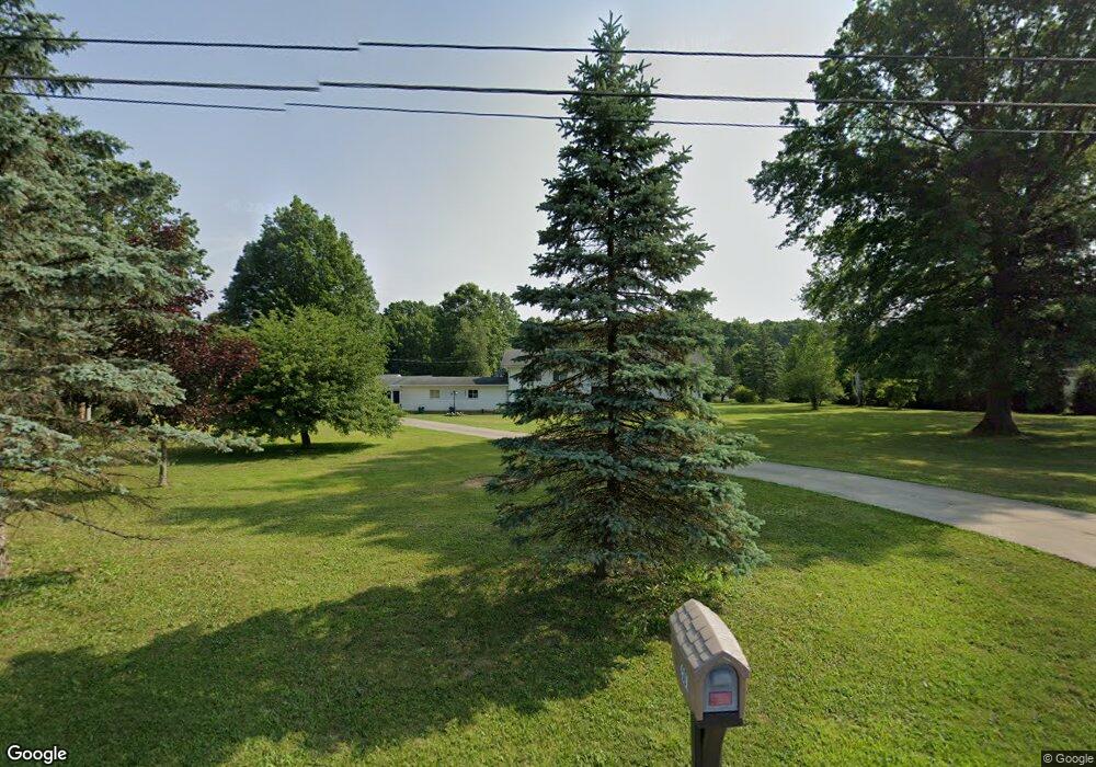
2507 Barlow Rd Hudson, OH 44236
Estimated Value: $429,984 - $529,000
3
Beds
2
Baths
1,500
Sq Ft
$309/Sq Ft
Est. Value
About This Home
This home is located at 2507 Barlow Rd, Hudson, OH 44236 and is currently estimated at $463,246, approximately $308 per square foot. 2507 Barlow Rd is a home located in Summit County with nearby schools including Ellsworth Hill Elementary School, East Woods Intermediate School, and Hudson Middle School.
Ownership History
Date
Name
Owned For
Owner Type
Purchase Details
Closed on
Sep 26, 2002
Sold by
Ostrowski Chester and Ostrowski Chester R
Bought by
Dravis Renee S and Dravis Kevin A
Current Estimated Value
Home Financials for this Owner
Home Financials are based on the most recent Mortgage that was taken out on this home.
Original Mortgage
$85,000
Interest Rate
6.32%
Purchase Details
Closed on
May 19, 2000
Sold by
Ostrowski David and Ostrowski Richard
Bought by
Ostrowski Chester
Create a Home Valuation Report for This Property
The Home Valuation Report is an in-depth analysis detailing your home's value as well as a comparison with similar homes in the area
Home Values in the Area
Average Home Value in this Area
Purchase History
| Date | Buyer | Sale Price | Title Company |
|---|---|---|---|
| Dravis Renee S | $225,000 | -- | |
| Ostrowski Chester | -- | Midland Commerce Group |
Source: Public Records
Mortgage History
| Date | Status | Borrower | Loan Amount |
|---|---|---|---|
| Closed | Dravis Renee S | $85,000 |
Source: Public Records
Tax History Compared to Growth
Tax History
| Year | Tax Paid | Tax Assessment Tax Assessment Total Assessment is a certain percentage of the fair market value that is determined by local assessors to be the total taxable value of land and additions on the property. | Land | Improvement |
|---|---|---|---|---|
| 2025 | $5,799 | $111,818 | $28,455 | $83,363 |
| 2024 | $5,799 | $111,818 | $28,455 | $83,363 |
| 2023 | $5,799 | $111,818 | $28,455 | $83,363 |
| 2022 | $4,641 | $79,363 | $19,898 | $59,465 |
| 2021 | $4,649 | $79,363 | $19,898 | $59,465 |
| 2020 | $4,568 | $79,370 | $19,900 | $59,470 |
| 2019 | $4,867 | $78,500 | $14,210 | $64,290 |
| 2018 | $4,850 | $78,500 | $14,210 | $64,290 |
| 2017 | $4,148 | $78,500 | $14,210 | $64,290 |
| 2016 | $4,177 | $64,920 | $11,940 | $52,980 |
| 2015 | $4,148 | $64,920 | $11,940 | $52,980 |
| 2014 | $4,160 | $64,920 | $11,940 | $52,980 |
| 2013 | $4,195 | $63,960 | $11,940 | $52,020 |
Source: Public Records
Map
Nearby Homes
- 5465 Park Vista Ct
- 5473 Young Rd
- 5431 Diana Lynn Dr
- 2749 Norton Rd
- V/L Norton Rd
- 5241 Brockton Dr
- 1884 Village Ct Unit X66
- 4901 Pebblehurst Dr
- 1759 E Sapphire Dr
- 5139 Rockport Cove
- V/L Ravenna Rd
- 1620 Sapphire Dr
- 2327 Crockett Cir
- 1705 Barlow Rd
- 4917 Independence Cir Unit B
- 5791 Sunset Dr
- 4731 Haughton Ct
- 2380 Port Williams Dr Unit 2380
- 5937 Ogilby Dr
- 2444 Port Charles Dr
- 2491 Barlow Rd
- 2533 Barlow Rd
- 2496 Barlow Rd
- 2512 Barlow Rd
- 2471 Barlow Rd
- 2555 Barlow Rd
- 2536 Barlow Rd
- 2466 Barlow Rd
- 2461 Barlow Rd
- 2546 Barlow Rd
- 2591 Barlow Rd
- 5674 Humelsine Dr
- 2421 Barlow Rd
- 5728 Young Rd
- 5666 Humelsine Dr
- 5718 Young Rd
- 2595 Barlow Rd
- 5659 Humelsine Dr
- 5652 Humelsine Dr
- 5706 Young Rd