2507 Cranberry Hwy Wareham, MA 02571
Estimated Value: $540,765 - $638,000
3
Beds
1
Bath
1,872
Sq Ft
$316/Sq Ft
Est. Value
About This Home
This home is located at 2507 Cranberry Hwy, Wareham, MA 02571 and is currently estimated at $592,441, approximately $316 per square foot. 2507 Cranberry Hwy is a home located in Plymouth County.
Ownership History
Date
Name
Owned For
Owner Type
Purchase Details
Closed on
Nov 23, 2021
Sold by
D S & F M Mckinlay Lt and Mckinlay
Bought by
Francys M Mckinlay Ft and Mckinlay
Current Estimated Value
Purchase Details
Closed on
Oct 7, 2013
Sold by
Mckinlay Donald S
Bought by
D S & F M Mckinlay Lt and Mckinlay
Purchase Details
Closed on
Jul 6, 2011
Sold by
Boarn Joan N Est and Boarn
Bought by
Mckinlay Donald S
Home Financials for this Owner
Home Financials are based on the most recent Mortgage that was taken out on this home.
Original Mortgage
$130,000
Interest Rate
5%
Mortgage Type
Purchase Money Mortgage
Create a Home Valuation Report for This Property
The Home Valuation Report is an in-depth analysis detailing your home's value as well as a comparison with similar homes in the area
Home Values in the Area
Average Home Value in this Area
Purchase History
| Date | Buyer | Sale Price | Title Company |
|---|---|---|---|
| Francys M Mckinlay Ft | -- | None Available | |
| Francys M Mckinlay Ft | -- | None Available | |
| D S & F M Mckinlay Lt | -- | -- | |
| D S & F M Mckinlay Lt | -- | -- | |
| Mckinlay Donald S | $229,000 | -- | |
| Mckinlay Donald S | $229,000 | -- |
Source: Public Records
Mortgage History
| Date | Status | Borrower | Loan Amount |
|---|---|---|---|
| Previous Owner | Mckinlay Donald S | $130,000 |
Source: Public Records
Tax History Compared to Growth
Tax History
| Year | Tax Paid | Tax Assessment Tax Assessment Total Assessment is a certain percentage of the fair market value that is determined by local assessors to be the total taxable value of land and additions on the property. | Land | Improvement |
|---|---|---|---|---|
| 2025 | $3,716 | $356,600 | $155,100 | $201,500 |
| 2024 | $3,051 | $271,700 | $124,400 | $147,300 |
| 2023 | $3,294 | $250,100 | $116,200 | $133,900 |
| 2022 | $3,294 | $249,900 | $116,200 | $133,700 |
| 2021 | $3,361 | $249,900 | $116,200 | $133,700 |
| 2020 | $3,314 | $249,900 | $116,200 | $133,700 |
| 2019 | $2,873 | $216,200 | $120,900 | $95,300 |
| 2018 | $2,996 | $219,800 | $120,900 | $98,900 |
| 2017 | $2,981 | $221,600 | $120,900 | $100,700 |
| 2016 | $3,056 | $225,900 | $125,200 | $100,700 |
| 2015 | $2,953 | $225,900 | $125,200 | $100,700 |
| 2014 | $3,593 | $279,600 | $120,700 | $158,900 |
Source: Public Records
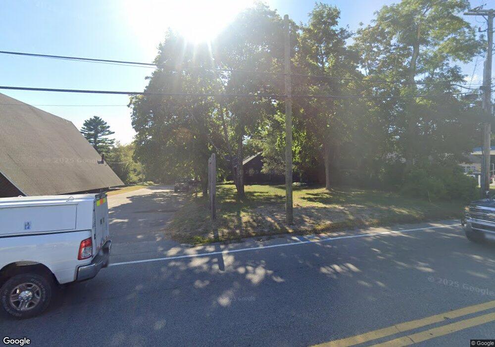
Map
Nearby Homes
- 687 Main St
- 0 Main St Unit 73450471
- 19 Station St
- 189 Pine View Terrace
- 437 Main St
- 199 Windswept Rd
- 87 Great Hill Dr
- 53 Starboard Dr Unit 36G
- 59 Timber Ln
- 110 Mayflower Ridge Dr
- 233 Marion Rd
- 41 Longboat Rd
- 21 Windsor Dr
- 6 A Rock Marsh Rd Unit A
- 6 A Rock Marsh Rd Unit A
- 62 High St
- 27 Siesta Dr
- 20 Gault Rd
- 51 Crest Dr
- 103 Castle Dr
- 2499 Cranberry Hwy Unit 5
- 2499 Cranberry Hwy Unit 4
- 2499 Cranberry Hwy Unit 5 & 6
- 2499 Cranberry Hwy Unit 8
- 2499 Cranberry Hwy Unit 7
- 2499 Cranberry Hwy Unit 6 & 7
- 2499 Cranberry Hwy Unit 7,8,9
- 2499 Cranberry Hwy Unit 4&5
- 2499 Cranberry Hwy Unit 1-5
- 2499 Cranberry Hwy Unit 1-9
- 2499 Cranberry Hwy Unit 3
- 2499 Cranberry Hwy
- 2511 Cranberry Hwy
- 2506 Cranberry Hwy
- 2508 Cranberry Hwy
- 2495 Cranberry Hwy
- 2510 Cranberry Hwy Unit 4
- 2510 Cranberry Hwy
- 2510 Cranberry Hwy Unit Lower Level
- 2510 Cranberry Hwy Unit 2