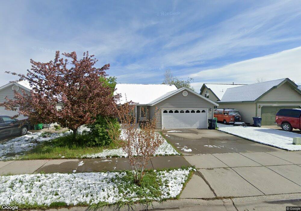
2507 Daffodil St Bozeman, MT 59718
North Bozeman NeighborhoodEstimated Value: $543,919 - $599,000
3
Beds
2
Baths
1,700
Sq Ft
$339/Sq Ft
Est. Value
About This Home
This home is located at 2507 Daffodil St, Bozeman, MT 59718 and is currently estimated at $575,980, approximately $338 per square foot. 2507 Daffodil St is a home located in Gallatin County with nearby schools including Emily Dickinson School, Chief Joseph Middle School, and Gallatin High School.
Ownership History
Date
Name
Owned For
Owner Type
Purchase Details
Closed on
Feb 14, 2006
Sold by
Myrstol Cristine L
Bought by
Arrington Tanya K and Arrington James W
Current Estimated Value
Home Financials for this Owner
Home Financials are based on the most recent Mortgage that was taken out on this home.
Original Mortgage
$196,800
Outstanding Balance
$110,791
Interest Rate
6.2%
Mortgage Type
Fannie Mae Freddie Mac
Estimated Equity
$465,189
Create a Home Valuation Report for This Property
The Home Valuation Report is an in-depth analysis detailing your home's value as well as a comparison with similar homes in the area
Home Values in the Area
Average Home Value in this Area
Purchase History
| Date | Buyer | Sale Price | Title Company |
|---|---|---|---|
| Arrington Tanya K | -- | Montana Title & Escrow |
Source: Public Records
Mortgage History
| Date | Status | Borrower | Loan Amount |
|---|---|---|---|
| Open | Arrington Tanya K | $196,800 |
Source: Public Records
Tax History
| Year | Tax Paid | Tax Assessment Tax Assessment Total Assessment is a certain percentage of the fair market value that is determined by local assessors to be the total taxable value of land and additions on the property. | Land | Improvement |
|---|---|---|---|---|
| 2025 | $2,361 | $547,000 | $0 | $0 |
| 2024 | $3,535 | $531,100 | $0 | $0 |
| 2023 | $3,422 | $531,100 | $0 | $0 |
| 2022 | $2,601 | $339,200 | $0 | $0 |
| 2021 | $2,870 | $339,200 | $0 | $0 |
| 2020 | $2,506 | $293,100 | $0 | $0 |
| 2019 | $2,563 | $293,100 | $0 | $0 |
| 2018 | $2,314 | $245,100 | $0 | $0 |
| 2017 | $2,285 | $245,100 | $0 | $0 |
| 2016 | $2,048 | $216,700 | $0 | $0 |
| 2015 | $2,050 | $216,700 | $0 | $0 |
| 2014 | $1,986 | $123,596 | $0 | $0 |
Source: Public Records
Map
Nearby Homes
- 894 Rogers Way
- 760 Rogers Way Unit B
- 740 Rogers Way Unit C
- 740 Rogers Way
- 740 Rogers Way Unit B
- 740 Rogers Way Unit A
- 748 Rogers Way Unit A
- 748 Rogers Way Unit B
- 1140 N 27th Ave Unit 2
- 2115 Durston Rd Unit 13
- 433 N Hunters Way
- 1120 Brentwood Ave
- 515 Michael Grove Ave Unit 60
- 515 Michael Grove Ave Unit 42
- TBD N 19th Ave
- 3108 Oliver St
- 1779 Durston Rd
- 488 Meriwether Ave
- 470 Meriwether Ave
- 454 Meriwether Ave
- 2511 Daffodil St
- 2503 Daffodil St
- 2506 Snapdragon St
- 2515 Daffodil St
- 2510 Snapdragon St
- 2502 Snapdragon St
- 2514 Snapdragon St
- 2519 Daffodil St
- 2506 Daffodil St
- 2502 Daffodil St
- 2495 Daffodil St
- 2510 Daffodil St
- 2518 Snapdragon St
- 2514 Daffodil St
- 2496 Snapdragon St
- 2603 Daffodil St
- 2602 Snapdragon St
- 2518 Daffodil St
- 2473 Daffodil St
- 2507 Snapdragon St
Your Personal Tour Guide
Ask me questions while you tour the home.