251 Apple St W Trimont, MN 56176
Estimated Value: $80,000 - $119,000
4
Beds
1
Bath
1,248
Sq Ft
$78/Sq Ft
Est. Value
About This Home
This home is located at 251 Apple St W, Trimont, MN 56176 and is currently estimated at $96,860, approximately $77 per square foot. 251 Apple St W is a home located in Martin County with nearby schools including Trimont Elementary School, Sherburn Elementary School, and Welcome Elementary School.
Ownership History
Date
Name
Owned For
Owner Type
Purchase Details
Closed on
May 14, 2020
Sold by
City Of Trimont
Bought by
Connors Robert J and Connors Belty
Current Estimated Value
Purchase Details
Closed on
Aug 15, 2017
Sold by
Holtz Donald and Holtz Cheryl Ann
Bought by
City Of Trimont
Purchase Details
Closed on
Jun 21, 2017
Sold by
Jackson Investments Inc
Bought by
Holtz Don
Purchase Details
Closed on
Dec 9, 2005
Sold by
County Of Martin
Bought by
Jackson Investments Inc
Create a Home Valuation Report for This Property
The Home Valuation Report is an in-depth analysis detailing your home's value as well as a comparison with similar homes in the area
Home Values in the Area
Average Home Value in this Area
Purchase History
| Date | Buyer | Sale Price | Title Company |
|---|---|---|---|
| Connors Robert J | -- | None Available | |
| City Of Trimont | -- | None Available | |
| Holtz Don | -- | None Available | |
| Jackson Investments Inc | $1,800 | None Available |
Source: Public Records
Tax History Compared to Growth
Tax History
| Year | Tax Paid | Tax Assessment Tax Assessment Total Assessment is a certain percentage of the fair market value that is determined by local assessors to be the total taxable value of land and additions on the property. | Land | Improvement |
|---|---|---|---|---|
| 2025 | $204 | $13,900 | $11,300 | $2,600 |
| 2024 | $106 | $11,400 | $8,800 | $2,600 |
| 2023 | $110 | $7,300 | $4,900 | $2,400 |
| 2022 | $140 | $7,300 | $4,900 | $2,400 |
| 2021 | $94 | $7,100 | $4,900 | $2,200 |
| 2020 | $124 | $4,900 | $4,900 | $0 |
| 2019 | $118 | $4,900 | $4,900 | $0 |
| 2018 | $100 | $4,900 | $3,900 | $1,000 |
| 2017 | $580 | $5,300 | $4,200 | $1,100 |
| 2016 | $220 | $4,900 | $3,900 | $1,000 |
| 2015 | $104 | $4,900 | $3,900 | $1,000 |
| 2013 | $190 | $8,800 | $3,900 | $4,900 |
Source: Public Records
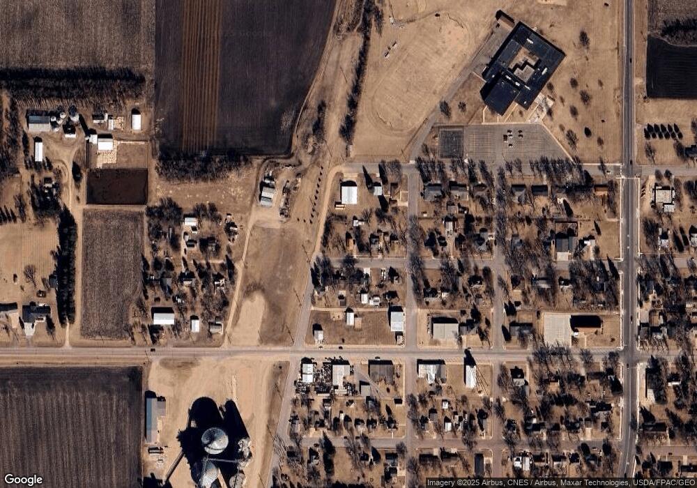
Map
Nearby Homes
- 151 Chestnut St E
- 180 3rd Ave NE
- 341 Main St E
- 1948 State Highway 4
- 1178 210th St
- 1178 1178 210th St
- 0 Xxx 130th Ave Unit LotWP001
- 801 140th St
- Xxx Lake Shore Dr
- TBD Lake Shore Dr
- 4 S Fox Lake Dr E
- 4 4 S Fox Lake Dr
- 105 105 S 2nd St
- 320 Park St
- 204 204 N Second St
- 109 N Main St
- 100 N Main St
- 15 Schafer Shore Dr
- 102 Ringer Dr
- 112 Lynn St