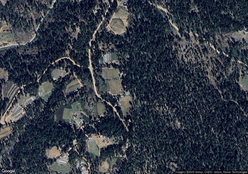
251 Autumn Way Hayfork, CA 96041
Estimated Value: $121,983 - $272,000
--
Bed
--
Bath
400
Sq Ft
$436/Sq Ft
Est. Value
About This Home
This home is located at 251 Autumn Way, Hayfork, CA 96041 and is currently estimated at $174,328, approximately $435 per square foot. 251 Autumn Way is a home with nearby schools including Hayfork High School.
Ownership History
Date
Name
Owned For
Owner Type
Purchase Details
Closed on
Jun 2, 2023
Sold by
Vang Yeesee Mai
Bought by
Lor Tulue
Current Estimated Value
Home Financials for this Owner
Home Financials are based on the most recent Mortgage that was taken out on this home.
Original Mortgage
$80,000
Outstanding Balance
$77,861
Interest Rate
6.39%
Mortgage Type
New Conventional
Estimated Equity
$96,467
Purchase Details
Closed on
May 16, 2023
Sold by
Lor Neng Thao
Bought by
Lor Tulue
Home Financials for this Owner
Home Financials are based on the most recent Mortgage that was taken out on this home.
Original Mortgage
$80,000
Outstanding Balance
$77,861
Interest Rate
6.39%
Mortgage Type
New Conventional
Estimated Equity
$96,467
Purchase Details
Closed on
Nov 10, 2014
Sold by
Dean John Stephen
Bought by
Vang Yeesee Mai
Purchase Details
Closed on
Mar 21, 2003
Sold by
Nelsen Curtis R
Bought by
Dean John Stephen
Create a Home Valuation Report for This Property
The Home Valuation Report is an in-depth analysis detailing your home's value as well as a comparison with similar homes in the area
Home Values in the Area
Average Home Value in this Area
Purchase History
| Date | Buyer | Sale Price | Title Company |
|---|---|---|---|
| Lor Tulue | $80,000 | Old Republic Title | |
| Lor Tulue | -- | Old Republic Title | |
| Vang Yeesee Mai | $80,000 | Multiple | |
| Dean John Stephen | $9,000 | -- |
Source: Public Records
Mortgage History
| Date | Status | Borrower | Loan Amount |
|---|---|---|---|
| Open | Lor Tulue | $80,000 |
Source: Public Records
Tax History Compared to Growth
Tax History
| Year | Tax Paid | Tax Assessment Tax Assessment Total Assessment is a certain percentage of the fair market value that is determined by local assessors to be the total taxable value of land and additions on the property. | Land | Improvement |
|---|---|---|---|---|
| 2025 | $1,293 | $114,443 | $87,393 | $27,050 |
| 2024 | $1,206 | $112,200 | $85,680 | $26,520 |
| 2023 | $1,206 | $103,827 | $98,169 | $5,658 |
| 2022 | $1,318 | $101,793 | $96,245 | $5,548 |
| 2021 | $1,228 | $99,798 | $94,358 | $5,440 |
| 2020 | $1,121 | $98,776 | $93,391 | $5,385 |
| 2019 | $1,025 | $96,840 | $91,560 | $5,280 |
| 2018 | $993 | $94,942 | $89,765 | $5,177 |
| 2017 | $885 | $82,842 | $77,665 | $5,177 |
| 2016 | $851 | $81,219 | $76,143 | $5,076 |
| 2015 | $838 | $80,000 | $75,000 | $5,000 |
| 2014 | $83 | $5,790 | $4,634 | $1,156 |
Source: Public Records
Map
Nearby Homes
- 133 Autumn Ct
- 920 Chrome Mine
- 2050 Westridge
- 2020 Trinity Pines Dr
- 430 Trinity Pines
- 831 Pine Forest Dr
- 8050 Rattlesnake Rd
- 257 Evening Star
- 991 Live Oak Rd
- 1221 N Ridge Rd
- 1050 Rowdy Bear
- 611 Dobbins Creek Rd
- 7081 Rattlesnake
- 2150 Salt Gulch Rd
- 3180 State Highway 3
- 211 Salt Creek
- 120ac 1n 40
- 2141 Mcalexander Rd
- 361 Mule Lovers Ln
- 661 Drinkwater Gulch
- 120 Autumn Ct
- 90 Autumn Way
- 1111 Chrome Mine Rd
- 277 Rainbow Ct
- 850 Chrome Mine
- 111 Bear Rock Rd
- 190 Chrome Mine Ct
- 565 Mcalexander Rd
- 940 Chrome Mine Rd
- 261 Bear Rock Rd
- 140 Bear Rock Rd
- 565 Power Line Rd
- 80 Chrome Mine Ct
- 128 Bear Rock Rd
- 36 Chrome Mine Ct
- 599 Power Line Rd
- 120 Bear Rock View
- 59 Ponderosa Ct
