251 Craig Rd Ripley, TN 38063
Estimated Value: $126,733 - $213,000
--
Bed
1
Bath
1,436
Sq Ft
$125/Sq Ft
Est. Value
About This Home
This home is located at 251 Craig Rd, Ripley, TN 38063 and is currently estimated at $179,933, approximately $125 per square foot. 251 Craig Rd is a home located in Lauderdale County with nearby schools including Ripley Primary School, Ripley Elementary School, and Ripley Middle School.
Ownership History
Date
Name
Owned For
Owner Type
Purchase Details
Closed on
Apr 5, 2007
Sold by
Norene Douglas
Bought by
Dale Snipes
Current Estimated Value
Home Financials for this Owner
Home Financials are based on the most recent Mortgage that was taken out on this home.
Original Mortgage
$82,000
Outstanding Balance
$49,197
Interest Rate
6.1%
Mortgage Type
Cash
Estimated Equity
$130,736
Purchase Details
Closed on
Dec 20, 2006
Sold by
Household Financial
Bought by
Norene Douglas
Purchase Details
Closed on
Sep 28, 2006
Sold by
Priority Trustee
Bought by
Household Financial
Purchase Details
Closed on
Mar 11, 2002
Sold by
Dowdy Mildred Will Of
Bought by
Glendon Spargo
Purchase Details
Closed on
Feb 23, 2001
Sold by
Mildred Dowdy
Bought by
Parker William G and Parker Elaine
Purchase Details
Closed on
Oct 17, 1978
Bought by
Dowdy Mildred Stacey
Create a Home Valuation Report for This Property
The Home Valuation Report is an in-depth analysis detailing your home's value as well as a comparison with similar homes in the area
Home Values in the Area
Average Home Value in this Area
Purchase History
| Date | Buyer | Sale Price | Title Company |
|---|---|---|---|
| Dale Snipes | $82,000 | -- | |
| Norene Douglas | $34,000 | -- | |
| Household Financial | $58,588 | -- | |
| Glendon Spargo | $65,000 | -- | |
| Parker William G | $25,000 | -- | |
| Dowdy Mildred Stacey | -- | -- |
Source: Public Records
Mortgage History
| Date | Status | Borrower | Loan Amount |
|---|---|---|---|
| Open | Dowdy Mildred Stacey | $82,000 |
Source: Public Records
Tax History Compared to Growth
Tax History
| Year | Tax Paid | Tax Assessment Tax Assessment Total Assessment is a certain percentage of the fair market value that is determined by local assessors to be the total taxable value of land and additions on the property. | Land | Improvement |
|---|---|---|---|---|
| 2025 | $447 | $17,600 | $0 | $0 |
| 2024 | $447 | $17,600 | $1,575 | $16,025 |
| 2023 | $447 | $17,600 | $1,575 | $16,025 |
| 2022 | $447 | $17,600 | $1,575 | $16,025 |
| 2021 | $447 | $17,600 | $1,575 | $16,025 |
| 2020 | $451 | $17,600 | $1,575 | $16,025 |
| 2019 | $451 | $15,250 | $1,375 | $13,875 |
| 2018 | $451 | $15,250 | $1,375 | $13,875 |
| 2017 | $454 | $15,250 | $1,375 | $13,875 |
| 2016 | $454 | $15,250 | $1,375 | $13,875 |
| 2015 | $494 | $15,250 | $1,375 | $13,875 |
| 2014 | $494 | $17,050 | $1,450 | $15,600 |
Source: Public Records
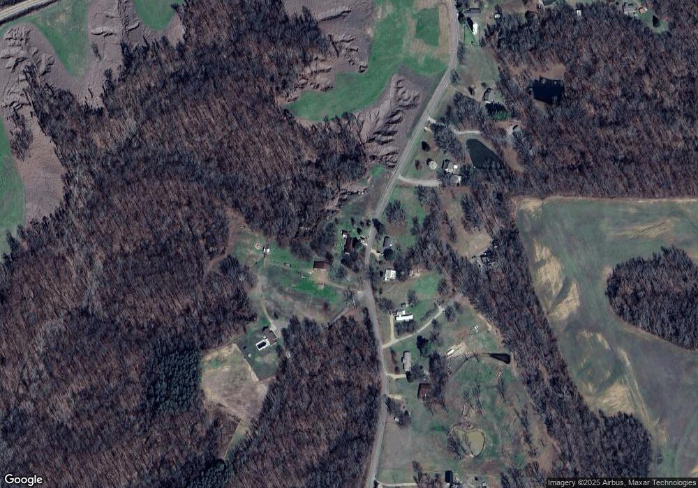
Map
Nearby Homes
- 1027 Lynn School Rd
- 3758 Craig Rd
- 00 Edith Nankipoo Rd
- 0 Johnston St Unit 10194911
- 0 Rickey Cove Unit 231745
- 0 Hanna Dr Unit 231744
- 0 Rickey Cove Unit 10126394
- 0 Hanna Dr Unit 10126338
- 5066 Lightfoot Luckett Rd
- 65 Lightfoot Luckett Rd
- 4638 Asbury Glimp Rd
- 2902 Arp Central Rd
- 2767 Arp Central Rd
- 224 Mary Lynn Ave
- 0000 Arp Central Rd
- 1240 Crutcher Rd
- LOT 3 U S Highway 51
- LOT 2 U S Highway 51
- 33 U S 51
- 32 U S 51