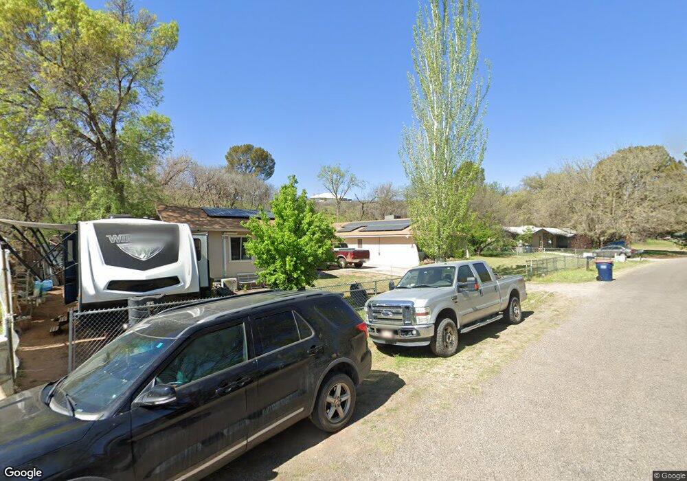
251 E Silver Bugle Dr Camp Verde, AZ 86322
Estimated Value: $425,339 - $594,000
4
Beds
--
Bath
2,032
Sq Ft
$254/Sq Ft
Est. Value
About This Home
This home is located at 251 E Silver Bugle Dr, Camp Verde, AZ 86322 and is currently estimated at $516,835, approximately $254 per square foot. 251 E Silver Bugle Dr is a home located in Yavapai County with nearby schools including Camp Verde Elementary School, Camp Verde Middle School, and Camp Verde High School.
Ownership History
Date
Name
Owned For
Owner Type
Purchase Details
Closed on
Apr 30, 2008
Sold by
Hazelton James A and Hazelton Donna L
Bought by
Carlson Bruce A E and Carlson Patricia S
Current Estimated Value
Home Financials for this Owner
Home Financials are based on the most recent Mortgage that was taken out on this home.
Original Mortgage
$226,400
Outstanding Balance
$143,303
Interest Rate
5.87%
Mortgage Type
New Conventional
Estimated Equity
$373,532
Purchase Details
Closed on
Jul 12, 1998
Sold by
Reed Virgil Wayne and Reed Verlea Rae
Bought by
Hazelton James A and Hazelton Donna L
Home Financials for this Owner
Home Financials are based on the most recent Mortgage that was taken out on this home.
Original Mortgage
$85,500
Interest Rate
6.9%
Mortgage Type
New Conventional
Create a Home Valuation Report for This Property
The Home Valuation Report is an in-depth analysis detailing your home's value as well as a comparison with similar homes in the area
Home Values in the Area
Average Home Value in this Area
Purchase History
| Date | Buyer | Sale Price | Title Company |
|---|---|---|---|
| Carlson Bruce A E | $283,000 | First American Title Ins Co | |
| Hazelton James A | $122,400 | First American Title |
Source: Public Records
Mortgage History
| Date | Status | Borrower | Loan Amount |
|---|---|---|---|
| Open | Carlson Bruce A E | $226,400 | |
| Previous Owner | Hazelton James A | $85,500 |
Source: Public Records
Tax History
| Year | Tax Paid | Tax Assessment Tax Assessment Total Assessment is a certain percentage of the fair market value that is determined by local assessors to be the total taxable value of land and additions on the property. | Land | Improvement |
|---|---|---|---|---|
| 2026 | $2,218 | $33,713 | -- | -- |
| 2024 | $2,192 | $34,660 | -- | -- |
| 2023 | $2,192 | $29,048 | $0 | $0 |
| 2022 | $2,115 | $23,645 | $3,590 | $20,055 |
| 2021 | $2,176 | $22,129 | $3,769 | $18,360 |
| 2020 | $2,128 | $0 | $0 | $0 |
| 2019 | $2,106 | $0 | $0 | $0 |
| 2018 | $2,017 | $0 | $0 | $0 |
| 2017 | $2,014 | $0 | $0 | $0 |
| 2016 | $1,963 | $0 | $0 | $0 |
| 2015 | $1,972 | $0 | $0 | $0 |
| 2014 | $1,969 | $0 | $0 | $0 |
Source: Public Records
Map
Nearby Homes
- 297 E Parade Ground Cir
- 248 S River Cave Rd
- 485 S Nichols St Unit 107
- 485 S Nichols St Unit 104
- 485 S Nichols St Unit 126
- 485 S Nichols St Unit 115
- 100 E Wee Hollow Dr
- 545 S Main St
- 102 W Arnold St
- 0 N Montezuma Heights Rd Unit 6934514
- 103 W Head St
- 67 E Goddard Ln
- 641 S 1st St
- 0 Finnie Flat Rd Unit 532826
- 703 S Sgt Woodall Dr
- 615 S 3rd St
- 651 S Mccracken Ln
- 315 W Hereford Dr
- 784 S Peach Ln
- 814 S Peach Ln
- 0 E Silver Bugle Dr
- 221 E Silver Bugle Dr
- 277 S Marksberry St Unit 1
- 277 S Marksberry St
- 242 E Silver Bugle Dr
- 292 E Silver Bugle Dr
- 276 S Marksberry St
- 287 S Marksberry St
- 297 E Silver Bugle Dr
- 212 E Silver Bugle Dr
- 277 E Parade Ground Cir
- 0 S Marksberry St Unit 3
- 0 S Marksberry St Unit 119121
- 0 S Marksberry St Unit 120236
- 331 E Silver Bugle Dr
Your Personal Tour Guide
Ask me questions while you tour the home.