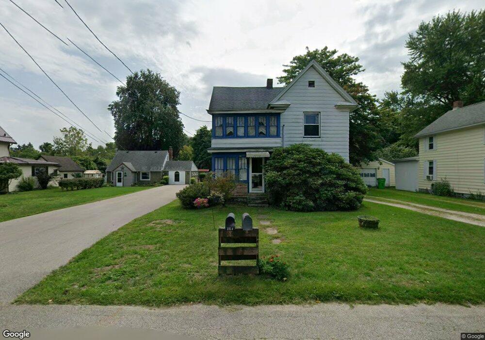
251 High St Conneaut, OH 44030
Estimated Value: $74,000 - $188,000
4
Beds
2
Baths
1,584
Sq Ft
$76/Sq Ft
Est. Value
About This Home
This home is located at 251 High St, Conneaut, OH 44030 and is currently estimated at $120,789, approximately $76 per square foot. 251 High St is a home located in Ashtabula County with nearby schools including Lakeshore Primary Elementary School, Gateway Elementary School, and Conneaut Middle School.
Ownership History
Date
Name
Owned For
Owner Type
Purchase Details
Closed on
Mar 31, 2015
Sold by
Estate Of Lilyan I Reo
Bought by
Mullin Sarah N
Current Estimated Value
Home Financials for this Owner
Home Financials are based on the most recent Mortgage that was taken out on this home.
Original Mortgage
$38,665
Outstanding Balance
$29,905
Interest Rate
3.87%
Mortgage Type
FHA
Estimated Equity
$90,884
Purchase Details
Closed on
Nov 18, 2011
Sold by
Mullin Lorrie R
Bought by
Reo Lilyan I
Purchase Details
Closed on
Nov 5, 2010
Sold by
Reo Lilyan I
Bought by
Mullin Lorrie R
Create a Home Valuation Report for This Property
The Home Valuation Report is an in-depth analysis detailing your home's value as well as a comparison with similar homes in the area
Home Values in the Area
Average Home Value in this Area
Purchase History
| Date | Buyer | Sale Price | Title Company |
|---|---|---|---|
| Mullin Sarah N | $39,500 | Buckeye Title | |
| Reo Lilyan I | -- | Attorney | |
| Mullin Lorrie R | -- | Attorney |
Source: Public Records
Mortgage History
| Date | Status | Borrower | Loan Amount |
|---|---|---|---|
| Open | Mullin Sarah N | $38,665 |
Source: Public Records
Tax History Compared to Growth
Tax History
| Year | Tax Paid | Tax Assessment Tax Assessment Total Assessment is a certain percentage of the fair market value that is determined by local assessors to be the total taxable value of land and additions on the property. | Land | Improvement |
|---|---|---|---|---|
| 2024 | $1,457 | $19,920 | $3,500 | $16,420 |
| 2023 | $930 | $19,920 | $3,500 | $16,420 |
| 2022 | $840 | $15,830 | $2,700 | $13,130 |
| 2021 | $854 | $15,830 | $2,700 | $13,130 |
| 2020 | $854 | $15,830 | $2,700 | $13,130 |
| 2019 | $958 | $17,470 | $2,730 | $14,740 |
| 2018 | $914 | $17,470 | $2,730 | $14,740 |
| 2017 | $912 | $17,470 | $2,730 | $14,740 |
| 2016 | $974 | $15,260 | $2,380 | $12,880 |
| 2015 | $981 | $15,260 | $2,380 | $12,880 |
| 2014 | $894 | $15,260 | $2,380 | $12,880 |
| 2013 | $1,050 | $19,500 | $3,500 | $16,000 |
Source: Public Records
Map
Nearby Homes