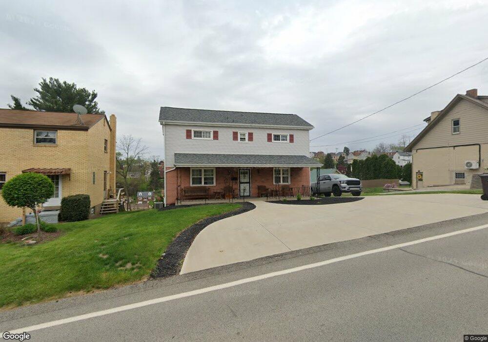
251 Joseph St Pittsburgh, PA 15227
Estimated Value: $159,000 - $205,000
3
Beds
2
Baths
1,296
Sq Ft
$141/Sq Ft
Est. Value
About This Home
This home is located at 251 Joseph St, Pittsburgh, PA 15227 and is currently estimated at $182,249, approximately $140 per square foot. 251 Joseph St is a home located in Allegheny County with nearby schools including J.E. Harrison Middle School and Baldwin Senior High School.
Ownership History
Date
Name
Owned For
Owner Type
Purchase Details
Closed on
Aug 1, 2023
Sold by
Kolski David
Bought by
Kolski Christopher
Current Estimated Value
Purchase Details
Closed on
Jul 20, 2023
Sold by
Kolski Ann Est and Kolski David Adr
Bought by
Kolski David
Purchase Details
Closed on
Jun 3, 2023
Sold by
Kolski David
Bought by
Kolski Christopher
Purchase Details
Closed on
Jun 1, 2023
Sold by
Kolski Joseph and Kolski Ann
Bought by
Kolski David
Purchase Details
Closed on
Aug 16, 1958
Bought by
Kolski Joseph and Kolski Ann
Create a Home Valuation Report for This Property
The Home Valuation Report is an in-depth analysis detailing your home's value as well as a comparison with similar homes in the area
Home Values in the Area
Average Home Value in this Area
Purchase History
| Date | Buyer | Sale Price | Title Company |
|---|---|---|---|
| Kolski Christopher | -- | -- | |
| Kolski David | -- | -- | |
| Kolski David | $1 | -- | |
| Kolski Joseph | -- | -- | |
| Kolski Christopher | -- | -- | |
| Kolski Christopher | -- | -- | |
| Kolski David | -- | -- |
Source: Public Records
Tax History Compared to Growth
Tax History
| Year | Tax Paid | Tax Assessment Tax Assessment Total Assessment is a certain percentage of the fair market value that is determined by local assessors to be the total taxable value of land and additions on the property. | Land | Improvement |
|---|---|---|---|---|
| 2025 | $2,878 | $78,600 | $26,400 | $52,200 |
| 2024 | $2,878 | $78,600 | $26,400 | $52,200 |
| 2023 | $2,091 | $60,600 | $26,400 | $34,200 |
| 2022 | $2,069 | $60,600 | $26,400 | $34,200 |
| 2021 | $201 | $60,600 | $26,400 | $34,200 |
| 2020 | $2,016 | $60,600 | $26,400 | $34,200 |
| 2019 | $1,973 | $60,600 | $26,400 | $34,200 |
| 2018 | $201 | $60,600 | $26,400 | $34,200 |
| 2017 | $1,834 | $60,600 | $26,400 | $34,200 |
| 2016 | $287 | $60,600 | $26,400 | $34,200 |
| 2015 | $287 | $60,600 | $26,400 | $34,200 |
| 2014 | $1,682 | $60,600 | $26,400 | $34,200 |
Source: Public Records
Map
Nearby Homes
- 209 Joseph St
- 1116 Marlane Dr
- 2812 Waterman Ave
- 1122 Cloverfield Dr
- 1053 Edward Dr
- 1149 Michael Dr
- 1141 Cloverfield Dr
- 746 Agnew Rd
- 630 Agnew Rd
- 2729 Custer Ave
- 0 Brinwood Ave
- 1027 Glass Run Rd
- 345 Brazil St
- 1157 Camarta Dr
- 1014 Glass Run Rd
- 1193 Clover Circle Ct
- 1305 Michael Dr
- 840 Agnew Rd
- 2979 Ruthwood Ave
- 1507 Michael Dr Unit 113-D