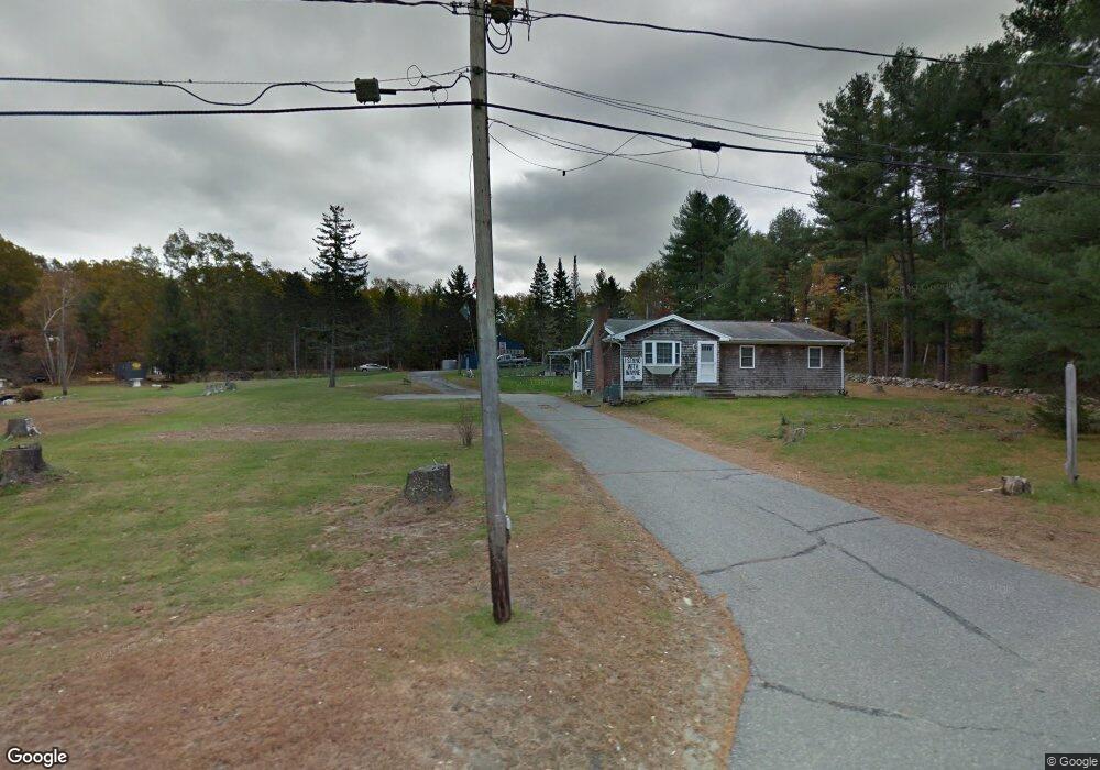
251 Laurel St West Boylston, MA 01583
Estimated Value: $519,211 - $555,000
3
Beds
2
Baths
1,204
Sq Ft
$447/Sq Ft
Est. Value
About This Home
This home is located at 251 Laurel St, West Boylston, MA 01583 and is currently estimated at $538,553, approximately $447 per square foot. 251 Laurel St is a home located in Worcester County with nearby schools including Major Edwards Elementary School and West Boylston Junior/Senior High School.
Ownership History
Date
Name
Owned For
Owner Type
Purchase Details
Closed on
Dec 17, 1971
Bought by
Almstrom Wayne S and Almstrom Mary E
Current Estimated Value
Create a Home Valuation Report for This Property
The Home Valuation Report is an in-depth analysis detailing your home's value as well as a comparison with similar homes in the area
Home Values in the Area
Average Home Value in this Area
Purchase History
| Date | Buyer | Sale Price | Title Company |
|---|---|---|---|
| Almstrom Wayne S | -- | -- |
Source: Public Records
Mortgage History
| Date | Status | Borrower | Loan Amount |
|---|---|---|---|
| Open | Almstrom Wayne S | $122,000 | |
| Closed | Almstrom Wayne S | $60,000 | |
| Closed | Almstrom Wayne S | $40,000 | |
| Closed | Almstrom Wayne S | $20,000 |
Source: Public Records
Tax History Compared to Growth
Tax History
| Year | Tax Paid | Tax Assessment Tax Assessment Total Assessment is a certain percentage of the fair market value that is determined by local assessors to be the total taxable value of land and additions on the property. | Land | Improvement |
|---|---|---|---|---|
| 2025 | $67 | $486,400 | $132,900 | $353,500 |
| 2024 | $6,710 | $454,000 | $135,100 | $318,900 |
| 2023 | $6,402 | $410,900 | $132,900 | $278,000 |
| 2022 | $6,306 | $356,700 | $132,900 | $223,800 |
| 2021 | $5,883 | $318,700 | $110,200 | $208,500 |
| 2020 | $5,806 | $312,500 | $110,200 | $202,300 |
| 2019 | $8,619 | $294,300 | $110,200 | $184,100 |
| 2018 | $1,595 | $282,600 | $110,200 | $172,400 |
| 2017 | $4,920 | $261,700 | $110,200 | $151,500 |
| 2016 | $4,790 | $259,600 | $102,800 | $156,800 |
| 2015 | $4,715 | $257,100 | $102,000 | $155,100 |
Source: Public Records
Map
Nearby Homes
- 287 Laurel St
- 0 North St
- 16 N Main St
- Lot 1 Manning St
- 26 Townsend Dr
- 20 Winthrop St
- 136 Sterling St Unit A3
- 156 Prospect St
- 0 Boutelle Rd
- 61 Boutelle Rd
- 751 Mason Rd
- 152 Worcester St Unit 8
- 60 Duxbury Dr
- 47 Preservation Ln
- 300 Malden St
- 223 Worcester Rd
- 2 Lakeview Ave
- 18 Laurel Ave
- 54 Maple St
- 62 Maple St
- 241 Laurel St
- 286 Laurel St
- 1 Raymond Huntington Hwy
- 208 Laurel St
- 296 Laurel St
- 661 Manning St
- 204 Laurel St
- 193 Laurel St
- 11 Raymond Huntington Hwy
- 189 Laurel St
- 651 Manning St
- 185 Laurel St
- 635 Manning St
- 173 Laurel St
- 630 Manning St
- 619 Manning St
- 18 Tobin Ln
- 167 Laurel St
- 615 Manning St
- 650 Manning St