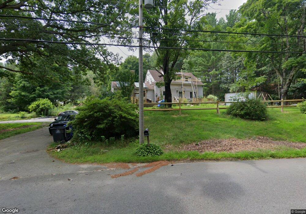
251 N Sterling Rd Sterling, CT 06377
Estimated Value: $299,000 - $395,000
5
Beds
2
Baths
1,900
Sq Ft
$183/Sq Ft
Est. Value
About This Home
This home is located at 251 N Sterling Rd, Sterling, CT 06377 and is currently estimated at $348,490, approximately $183 per square foot. 251 N Sterling Rd is a home located in Windham County with nearby schools including Sterling Community School.
Ownership History
Date
Name
Owned For
Owner Type
Purchase Details
Closed on
Nov 18, 2009
Sold by
Bissonnette Scott W and Bissonnette Tammy L
Bought by
Saucier Joseph P
Current Estimated Value
Home Financials for this Owner
Home Financials are based on the most recent Mortgage that was taken out on this home.
Original Mortgage
$132,600
Outstanding Balance
$85,961
Interest Rate
4.86%
Estimated Equity
$262,529
Purchase Details
Closed on
Sep 12, 2003
Sold by
Bissonnette Lily
Bought by
Bissonnette Scott W and Bissonnette Tammy L
Create a Home Valuation Report for This Property
The Home Valuation Report is an in-depth analysis detailing your home's value as well as a comparison with similar homes in the area
Home Values in the Area
Average Home Value in this Area
Purchase History
| Date | Buyer | Sale Price | Title Company |
|---|---|---|---|
| Saucier Joseph P | $52,000 | -- | |
| Saucier Joseph P | $52,000 | -- | |
| Bissonnette Scott W | $145,000 | -- | |
| Bissonnette Scott W | $145,000 | -- |
Source: Public Records
Mortgage History
| Date | Status | Borrower | Loan Amount |
|---|---|---|---|
| Open | Bissonnette Scott W | $132,600 | |
| Closed | Bissonnette Scott W | $132,600 | |
| Previous Owner | Bissonnette Scott W | $238,000 |
Source: Public Records
Tax History Compared to Growth
Tax History
| Year | Tax Paid | Tax Assessment Tax Assessment Total Assessment is a certain percentage of the fair market value that is determined by local assessors to be the total taxable value of land and additions on the property. | Land | Improvement |
|---|---|---|---|---|
| 2025 | $3,588 | $163,100 | $37,800 | $125,300 |
| 2024 | $3,857 | $163,100 | $37,800 | $125,300 |
| 2023 | $3,624 | $163,100 | $37,800 | $125,300 |
| 2022 | $4,040 | $126,480 | $15,040 | $111,440 |
| 2021 | $4,040 | $126,480 | $15,040 | $111,440 |
| 2020 | $4,040 | $126,480 | $15,040 | $111,440 |
| 2019 | $4,040 | $126,480 | $15,040 | $111,440 |
| 2018 | $4,022 | $126,480 | $15,040 | $111,440 |
| 2017 | $3,639 | $114,440 | $21,340 | $93,100 |
| 2016 | $3,616 | $114,440 | $21,340 | $93,100 |
| 2015 | $3,616 | $114,440 | $21,340 | $93,100 |
| 2014 | $3,605 | $114,440 | $21,340 | $93,100 |
Source: Public Records
Map
Nearby Homes
- 35 River Rd
- 4 Johns Cir Unit Lot 31
- 7 Johns Cir Unit Lot 34
- 2 Johns Cir Unit Lot 30
- 1 John's Cir Unit Lot 37
- 8 John's Cir Unit Lot 33
- 5 John's Cir Unit Lot 35
- 1 Johns Cir
- 84 Brunswick Ave
- 181 Snake Meadow Rd
- 92 Lake St
- 197 Church St
- 331 Pond Hill Rd
- 50 High St
- 58 Milner Ave
- 18 Ledge Hill Rd
- 6 Ward Ln
- 60 Sterling Hill Rd
- 29 Union St
- 6 Grace Ln
- 253 N Sterling Rd
- 241 N Sterling Rd
- 255 N Sterling Rd
- 240 N Sterling Rd
- 261 N Sterling Rd
- 257 N Sterling Rd
- 275 N Sterling Rd
- 0 N Sterling Rd
- 230 N Sterling Rd
- 225 N Sterling Rd
- 238 N Sterling Rd
- 219 N Sterling Rd
- 287 N Sterling Rd
- 213 N Sterling Rd
- 305 N Sterling Rd
- 192 N Sterling Rd
- 191 N Sterling Rd
- 276 N Sterling Rd
- 195 N Sterling Rd
- 188 N Sterling Rd