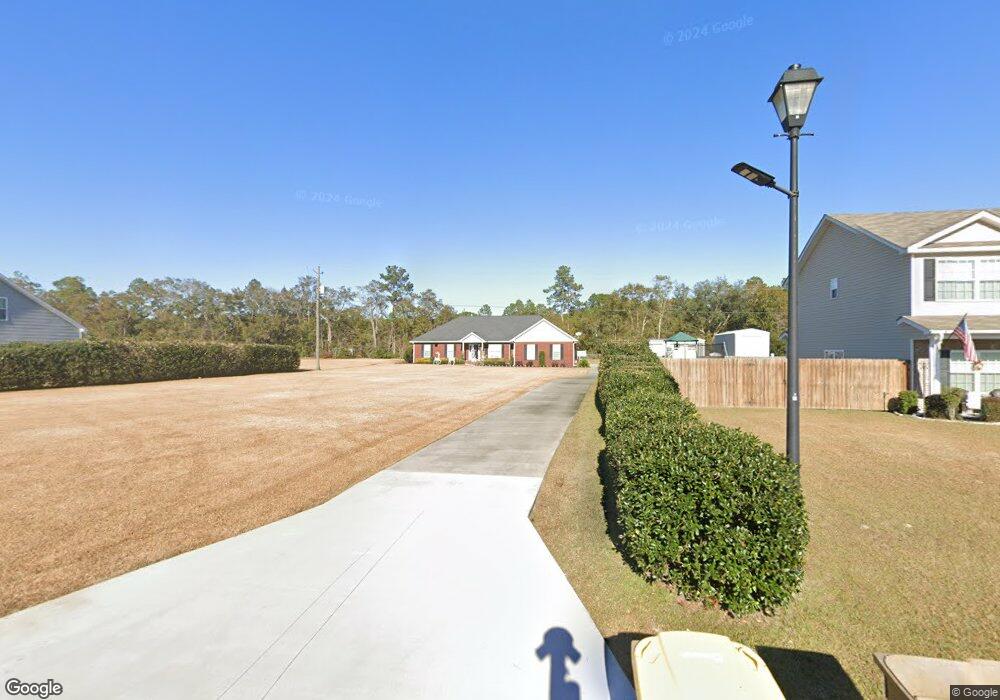
251 Nease Rd Guyton, GA 31312
Estimated Value: $432,000 - $471,121
--
Bed
1
Bath
2,984
Sq Ft
$149/Sq Ft
Est. Value
About This Home
This home is located at 251 Nease Rd, Guyton, GA 31312 and is currently estimated at $446,030, approximately $149 per square foot. 251 Nease Rd is a home located in Effingham County with nearby schools including Marlow Elementary School, South Effingham Middle School, and South Effingham High School.
Ownership History
Date
Name
Owned For
Owner Type
Purchase Details
Closed on
Jul 26, 2002
Bought by
Riner Shane E and Riner Angela M
Current Estimated Value
Create a Home Valuation Report for This Property
The Home Valuation Report is an in-depth analysis detailing your home's value as well as a comparison with similar homes in the area
Home Values in the Area
Average Home Value in this Area
Purchase History
| Date | Buyer | Sale Price | Title Company |
|---|---|---|---|
| Riner Shane E | -- | -- |
Source: Public Records
Tax History Compared to Growth
Tax History
| Year | Tax Paid | Tax Assessment Tax Assessment Total Assessment is a certain percentage of the fair market value that is determined by local assessors to be the total taxable value of land and additions on the property. | Land | Improvement |
|---|---|---|---|---|
| 2025 | $5,292 | $181,359 | $44,886 | $136,473 |
| 2024 | $4,742 | $161,444 | $33,814 | $127,630 |
| 2023 | $4,646 | $152,035 | $33,814 | $118,221 |
| 2022 | $164 | $124,386 | $6,165 | $118,221 |
| 2021 | $3,647 | $117,096 | $5,816 | $111,280 |
| 2020 | $3,374 | $108,775 | $5,702 | $103,073 |
| 2019 | $3,414 | $109,409 | $6,336 | $103,073 |
| 2018 | $3,493 | $110,385 | $14,008 | $96,377 |
| 2017 | $3,606 | $112,944 | $12,734 | $100,210 |
| 2016 | $3,462 | $113,631 | $12,734 | $100,897 |
| 2015 | -- | $113,631 | $12,734 | $100,897 |
| 2014 | -- | $113,631 | $12,734 | $100,897 |
| 2013 | -- | $113,631 | $12,734 | $100,897 |
Source: Public Records
Map
Nearby Homes
- 111 Gleaston Way
- 146 Nease Rd
- 639 Nease Rd
- 645 Nease Rd
- 681 Majestic Dr
- 679 Majestic Dr
- 673 Majestic Dr
- 206 Saint Pauls Rd
- 883 Zittrouer Rd
- 102 Little Ben Ct
- 104 Little Ben Ct
- 100 Little Ben Ct
- 106 Little Ben Ct
- 214 Wessex Rd
- 111 St Matthews
- 328 Windsor Rd
- 1257 Noel C Conaway Rd
- 105 Homestead Ct
- 106 Buckingham Dr
- 102 Sam's Dr
- 123 Laurel Ln
- 119 Laurel Ln
- 125 Laurel Ln
- 239 Nease Rd
- 117 Laurel Ln
- 245 Nease Rd
- 127 Laurel Ln
- 100 Old Mill Rd
- 101 Old Mill Rd
- 0 Laurel Ln Unit 181733
- 0 Laurel Ln Unit 69 8278844
- 0 Laurel Ln Unit 216111
- 101 Springcreek Ln
- 120 Laurel Ln
- 113 Laurel Ln
- 129 Laurel Ln
- 103 Old Mill Rd
- 102 Old Mill Rd
- 100 Springcreek Ln
- 265 Nease Rd