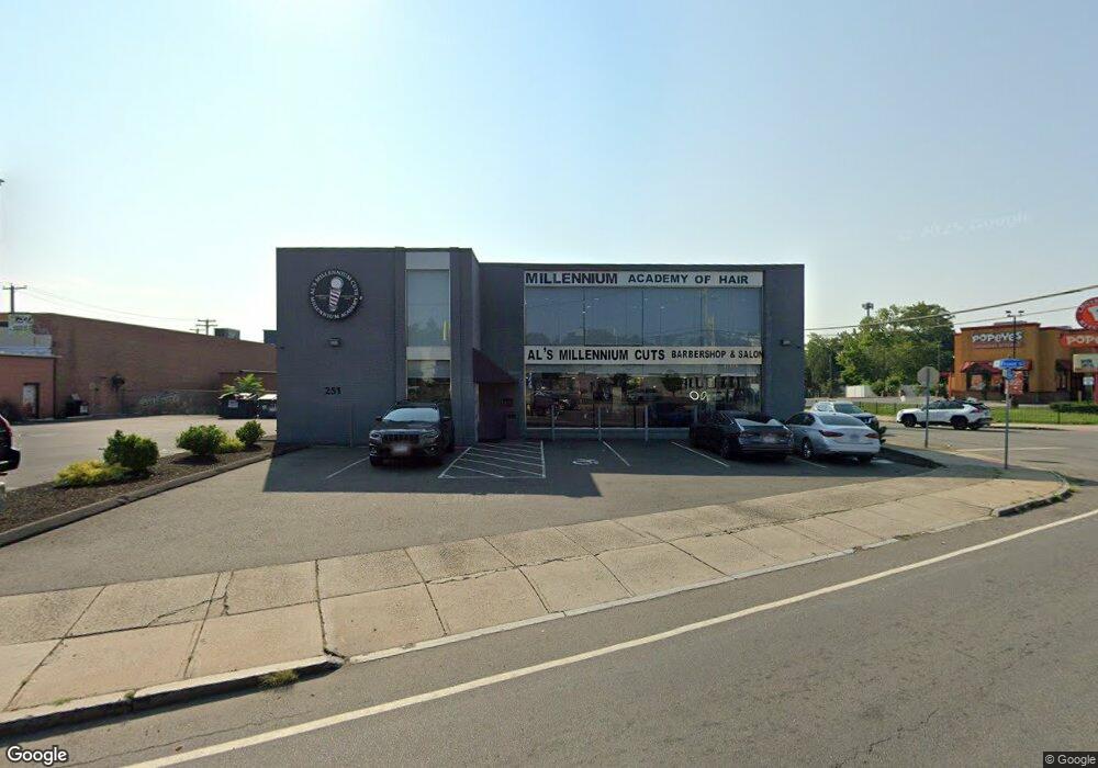
251 North Ave Bridge Port, CT 06606
Reservoir-Whiskey Hill NeighborhoodEstimated Value: $515,001
--
Bed
--
Bath
5,036
Sq Ft
$102/Sq Ft
Est. Value
About This Home
This home is located at 251 North Ave, Bridge Port, CT 06606 and is currently estimated at $515,001, approximately $102 per square foot. 251 North Ave is a home located in Fairfield County with nearby schools including Read School, Harding High School, and Catholic Academy of Bridgeport-St. Raphael Academy.
Ownership History
Date
Name
Owned For
Owner Type
Purchase Details
Closed on
Jul 20, 2015
Sold by
Cifuentes Jessica
Bought by
251 North Ave Hldgs Llc
Current Estimated Value
Purchase Details
Closed on
Sep 17, 2014
Bought by
Cifuentes Jesssica
Purchase Details
Closed on
Nov 13, 2012
Sold by
Yaremich Realty Co Llc
Create a Home Valuation Report for This Property
The Home Valuation Report is an in-depth analysis detailing your home's value as well as a comparison with similar homes in the area
Home Values in the Area
Average Home Value in this Area
Purchase History
| Date | Buyer | Sale Price | Title Company |
|---|---|---|---|
| 251 North Ave Hldgs Llc | -- | -- | |
| 251 North Ave Hldgs Llc | -- | -- | |
| Cifuentes Jesssica | $295,000 | -- | |
| Cifuentes Jesssica | $295,000 | -- | |
| -- | -- | -- | |
| -- | -- | -- |
Source: Public Records
Tax History Compared to Growth
Tax History
| Year | Tax Paid | Tax Assessment Tax Assessment Total Assessment is a certain percentage of the fair market value that is determined by local assessors to be the total taxable value of land and additions on the property. | Land | Improvement |
|---|---|---|---|---|
| 2025 | $14,972 | $344,570 | $149,210 | $195,360 |
| 2024 | $14,972 | $344,570 | $149,210 | $195,360 |
| 2023 | $14,972 | $344,570 | $149,210 | $195,360 |
| 2022 | $14,972 | $344,570 | $149,210 | $195,360 |
| 2021 | $14,972 | $344,570 | $149,210 | $195,360 |
| 2020 | $17,332 | $321,030 | $115,000 | $206,030 |
| 2019 | $11,168 | $206,850 | $115,000 | $91,850 |
| 2018 | $11,246 | $206,850 | $115,000 | $91,850 |
| 2017 | $11,246 | $206,850 | $115,000 | $91,850 |
| 2016 | $13,742 | $252,750 | $115,000 | $137,750 |
| 2015 | $12,154 | $288,000 | $129,380 | $158,620 |
| 2014 | -- | $288,000 | $129,380 | $158,620 |
Source: Public Records
Map
Nearby Homes
- 152 River St
- 44 Pond St
- 112 Glenwood Ave
- 330 French St
- 957 William St Unit A
- 1296 Noble Ave
- 936 Lindley St
- 44 Locust St Unit 46
- 235 Indian Ave
- 980 Lindley St Unit 401
- 245 Indian Ave
- 2395 Main St Unit 2397
- 39 Infield St
- 744 Park St
- 76 Porter St
- 926 Hart St
- 916 Hart St
- 1014 Noble Ave
- 142 Palm St
- 154 Rose St
- 215 North Ave
- 256 Island Brook Ave
- 161 North Ave
- 158 Front St
- 206 Island Brook Ave
- 185 Island Brook Ave
- 140 North Ave Unit 2
- 140 North Ave
- 186 Island Brook Ave
- 178 Island Brook Ave
- 9 Chase St Unit 11
- 155 Island Brook Ave
- 104 Glenwood Ave
- 86 Front St
- 100 Front St
- 362 River St Unit A
- 362 River St
- 13 Chase St Unit 15
- 15 Chase St
- 125 Island Brook Ave