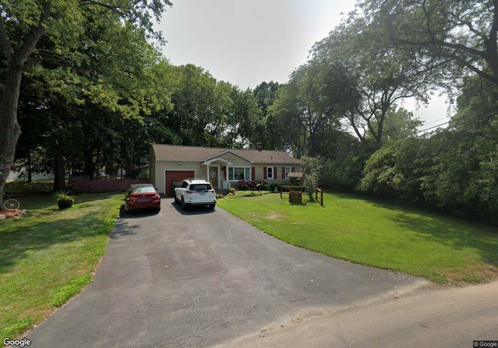
251 Norwood Cir Webster, NY 14580
Estimated Value: $232,843 - $273,000
2
Beds
1
Bath
838
Sq Ft
$304/Sq Ft
Est. Value
About This Home
This home is located at 251 Norwood Cir, Webster, NY 14580 and is currently estimated at $254,461, approximately $303 per square foot. 251 Norwood Cir is a home located in Monroe County with nearby schools including DeWitt Road Elementary School, Willink Middle School, and Thomas High School.
Ownership History
Date
Name
Owned For
Owner Type
Purchase Details
Closed on
May 9, 2011
Sold by
Denton Andrew and Denton Colleen
Bought by
Sema Bogdan and Sema Galina
Current Estimated Value
Home Financials for this Owner
Home Financials are based on the most recent Mortgage that was taken out on this home.
Original Mortgage
$99,750
Outstanding Balance
$57,229
Interest Rate
4.82%
Mortgage Type
New Conventional
Estimated Equity
$197,232
Purchase Details
Closed on
Dec 6, 2006
Sold by
Biuso Joseph
Bought by
Denton Andrew
Home Financials for this Owner
Home Financials are based on the most recent Mortgage that was taken out on this home.
Original Mortgage
$94,100
Interest Rate
6.4%
Mortgage Type
FHA
Purchase Details
Closed on
Sep 19, 2003
Sold by
Sayre Benjamin B
Bought by
Biuso Joseph
Purchase Details
Closed on
Dec 21, 1995
Sold by
Inc John T Nothnagle
Bought by
Sayre Benjamin and Sayre Christine
Purchase Details
Closed on
Dec 13, 1995
Create a Home Valuation Report for This Property
The Home Valuation Report is an in-depth analysis detailing your home's value as well as a comparison with similar homes in the area
Home Values in the Area
Average Home Value in this Area
Purchase History
| Date | Buyer | Sale Price | Title Company |
|---|---|---|---|
| Sema Bogdan | $105,000 | None Available | |
| Denton Andrew | $95,000 | Maureen Garvey | |
| Biuso Joseph | $83,000 | Franklin Daurizio | |
| Sayre Benjamin | $72,000 | -- | |
| -- | $70,000 | -- |
Source: Public Records
Mortgage History
| Date | Status | Borrower | Loan Amount |
|---|---|---|---|
| Open | Sema Bogdan | $99,750 | |
| Previous Owner | Denton Andrew | $94,100 |
Source: Public Records
Tax History Compared to Growth
Tax History
| Year | Tax Paid | Tax Assessment Tax Assessment Total Assessment is a certain percentage of the fair market value that is determined by local assessors to be the total taxable value of land and additions on the property. | Land | Improvement |
|---|---|---|---|---|
| 2024 | $3,618 | $82,300 | $28,300 | $54,000 |
| 2023 | $3,518 | $82,300 | $28,300 | $54,000 |
| 2022 | $3,891 | $82,300 | $28,300 | $54,000 |
| 2021 | $3,855 | $82,300 | $28,300 | $54,000 |
| 2020 | $3,184 | $82,300 | $28,300 | $54,000 |
| 2019 | $2,816 | $82,300 | $28,300 | $54,000 |
| 2018 | $2,973 | $82,300 | $28,300 | $54,000 |
| 2017 | $1,360 | $82,300 | $28,300 | $54,000 |
| 2016 | $2,816 | $82,300 | $28,300 | $54,000 |
| 2015 | -- | $82,300 | $28,300 | $54,000 |
| 2014 | -- | $82,300 | $28,300 | $54,000 |
Source: Public Records
Map
Nearby Homes
- 787 Dewitt Rd
- 758 Dewitt Rd
- 769 Bay Rd
- 250 San Ron Dr
- 629 Midship Cir
- 717 Mariner Cir
- 398 Spinnaker Ln
- 273 Circle Ln
- 673 Seneca Rd
- 408 Newport Rd
- 409 Newport Rd
- 407 Newport Rd
- 631 Bay Rd
- 59 Mooring Line Dr
- 430 Sundance Trail
- 151 Shore Dr
- 1084 Cherry Hill Ln
- 189 Lake Rd
- 26 Magnolia Ln
- 268 Lake Breeze Park