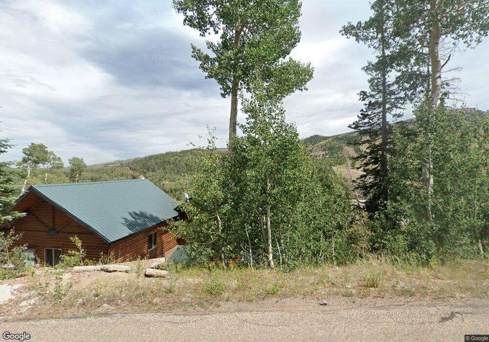
251 Pine Hurst Unit + lot 2 Brian Head, UT 84719
Estimated Value: $889,000 - $1,857,000
--
Bed
4
Baths
--
Sq Ft
0.52
Acres
About This Home
This home is located at 251 Pine Hurst Unit + lot 2, Brian Head, UT 84719 and is currently estimated at $1,396,257. 251 Pine Hurst Unit + lot 2 is a home located in Iron County with nearby schools including Parowan School, Parowan High School, and Cedar City High School.
Ownership History
Date
Name
Owned For
Owner Type
Purchase Details
Closed on
Mar 11, 2022
Sold by
Boyd Iii Edward T
Bought by
Galindo Joshua
Current Estimated Value
Home Financials for this Owner
Home Financials are based on the most recent Mortgage that was taken out on this home.
Original Mortgage
$1,193,016
Outstanding Balance
$1,114,662
Interest Rate
3.92%
Mortgage Type
New Conventional
Estimated Equity
$281,595
Purchase Details
Closed on
Feb 12, 2010
Sold by
Martin David and Martin Sue
Bought by
Boyd Edward T
Create a Home Valuation Report for This Property
The Home Valuation Report is an in-depth analysis detailing your home's value as well as a comparison with similar homes in the area
Home Values in the Area
Average Home Value in this Area
Purchase History
| Date | Buyer | Sale Price | Title Company |
|---|---|---|---|
| Galindo Joshua | -- | Security Escrow & Title | |
| Boyd Edward T | -- | -- |
Source: Public Records
Mortgage History
| Date | Status | Borrower | Loan Amount |
|---|---|---|---|
| Open | Galindo Joshua | $1,193,016 |
Source: Public Records
Tax History Compared to Growth
Tax History
| Year | Tax Paid | Tax Assessment Tax Assessment Total Assessment is a certain percentage of the fair market value that is determined by local assessors to be the total taxable value of land and additions on the property. | Land | Improvement |
|---|---|---|---|---|
| 2025 | $6,467 | $820,184 | $63,250 | $756,934 |
| 2023 | $6,257 | $672,085 | $63,250 | $608,835 |
| 2022 | $6,589 | $663,835 | $55,000 | $608,835 |
| 2021 | $4,749 | $478,510 | $27,500 | $451,010 |
| 2020 | $4,550 | $418,080 | $27,500 | $390,580 |
| 2019 | $4,479 | $380,535 | $27,500 | $353,035 |
| 2018 | $4,382 | $360,575 | $27,500 | $333,075 |
| 2017 | $4,404 | $360,600 | $27,500 | $333,100 |
| 2016 | $4,298 | $330,340 | $27,500 | $302,840 |
| 2015 | $7,500 | $537,160 | $0 | $0 |
| 2014 | $6,574 | $427,470 | $0 | $0 |
Source: Public Records
Map
Nearby Homes
- 226 S Highway 143 Unit 16-B
- 226 Utah 143
- 226 Utah 143 Unit A3
- 226 Utah 143 Unit 17-A
- 270 S Highway 143 Unit 143 8a
- 270 Utah 143
- 254 W Pine Hurst St
- 265 W Eagles Roost St
- 244 W Pinehurst Dr
- 0 Dr
- 312 Utah 143 Unit 12B
- 312 Utah 143 Unit 10a
- 312 Utah 143 Unit 8a
- 286 W Eagles Roost St Unit a-108
- 286 W Eagles Roost St Unit C104
- 286 W Eagles Roost St
- 286 W Eagles Roost St Unit C-107
- 286 W Eagles Roost St Unit D-101
- 312 S Highway 143 Unit 5B
- 251 Pine Hurst
- 254 Pine Hurst St
- 254 Pine Hurst St Unit 5
- 254 Pinehurst St
- 254 Pinehurst St Unit 5
- 226 S Highway 143 Unit 143 13-b
- 226 S Highway 143 Unit J-1
- 226 S Highway 143 Unit H-4
- 226 S Highway 143 Unit 4-b
- 226 S Highway 143 Unit 3-b
- 226 S Highway 143 Unit 11A
- 226 S Highway 143 Unit 25
- 226 S Highway 143 Unit 3B
- 226 S Highway 143 Unit 143 E-3
- 226 S Highway 143 Unit G4
- 226 S Highway 143 Unit 18A
- 226 S Highway 143 Unit 1-A
- 226 S Highway 143 Unit D-1
- 226 S Highway 143 Unit C-4
- 226 S Highway 143 Unit 11-B