Estimated Value: $242,000 - $324,044
3
Beds
2
Baths
1,701
Sq Ft
$171/Sq Ft
Est. Value
About This Home
This home is located at 251 Porter Rd, Ocoee, TN 37361 and is currently estimated at $290,261, approximately $170 per square foot. 251 Porter Rd is a home located in Polk County.
Ownership History
Date
Name
Owned For
Owner Type
Purchase Details
Closed on
Dec 2, 2016
Sold by
Presswood Shelby J
Bought by
Murphy Barbara A and Murphy Todd W
Current Estimated Value
Home Financials for this Owner
Home Financials are based on the most recent Mortgage that was taken out on this home.
Original Mortgage
$146,464
Outstanding Balance
$115,771
Interest Rate
3.54%
Mortgage Type
New Conventional
Estimated Equity
$174,490
Purchase Details
Closed on
Jan 1, 1969
Bought by
Cummings Thomas L and Cummings Shelby J
Create a Home Valuation Report for This Property
The Home Valuation Report is an in-depth analysis detailing your home's value as well as a comparison with similar homes in the area
Purchase History
| Date | Buyer | Sale Price | Title Company |
|---|---|---|---|
| Murphy Barbara A | $145,000 | -- | |
| Cummings Thomas L | -- | -- |
Source: Public Records
Mortgage History
| Date | Status | Borrower | Loan Amount |
|---|---|---|---|
| Open | Murphy Barbara A | $146,464 |
Source: Public Records
Tax History
| Year | Tax Paid | Tax Assessment Tax Assessment Total Assessment is a certain percentage of the fair market value that is determined by local assessors to be the total taxable value of land and additions on the property. | Land | Improvement |
|---|---|---|---|---|
| 2025 | $873 | $51,675 | $3,025 | $48,650 |
| 2024 | $873 | $51,675 | $3,025 | $48,650 |
| 2023 | $873 | $51,675 | $0 | $0 |
| 2022 | $722 | $28,725 | $2,575 | $26,150 |
| 2021 | $722 | $28,725 | $2,575 | $26,150 |
| 2020 | $722 | $28,725 | $2,575 | $26,150 |
| 2019 | $722 | $28,725 | $2,575 | $26,150 |
| 2018 | $722 | $28,725 | $2,575 | $26,150 |
| 2017 | $753 | $29,850 | $2,275 | $27,575 |
| 2016 | $717 | $29,850 | $2,275 | $27,575 |
| 2015 | $717 | $29,850 | $2,275 | $27,575 |
| 2014 | $717 | $29,835 | $0 | $0 |
Source: Public Records
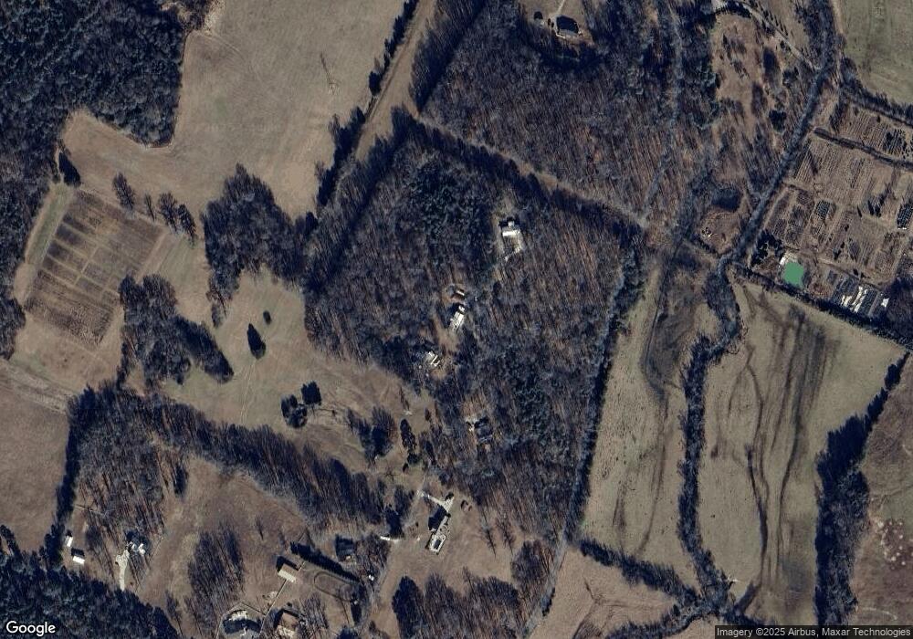
Map
Nearby Homes
- 207 Mountain View Cir
- 140 White Water Run Ln
- 122 White Water Run Ln
- 131 White Water Run Ln
- 182 Mountain View Cir
- 326 Mountain View Cir
- 160 Tree Frog Ln
- 160 Mountain View Cir
- 136 Casson Rd
- 136 Cherokee Ridge Dr
- 161 & 155 Cherokee Ridge Dr
- 161155 Cherokee Ridge Dr
- 109 Cherokee Ridge Dr
- 147 Cherokee Ridge Dr
- 1441 Sloans Gap Rd
- 144 Parksville Rd
- 156 Bob White Rd
- 58.67 Acre Bullens Rd
- 0 Old Federal Rd Unit RTC3098994
- 435 Hildabrand Rd
- 239 Porter Rd
- 278 Porter Rd
- 226 Porter Rd
- 194 Porter Rd
- 195 Porter Rd
- 15.07 Cookson Creek Rd
- 183 Porter Rd
- 162 Porter Rd
- 1085 Cookson Creek Rd
- 230 Blackberry Ln
- 148 Porter Rd
- 147 Porter Rd
- 250 Blackberry Ln
- 22 Horns Creek Rd
- 3-6 Horns Creek Rd
- 6 Horns Creek Rd
- 5 Horns Creek Rd
- 3 Horns Creek Rd
- 4 Horns Creek Rd
- 4 Horns Creek Rd Unit LOT 4
Your Personal Tour Guide
Ask me questions while you tour the home.