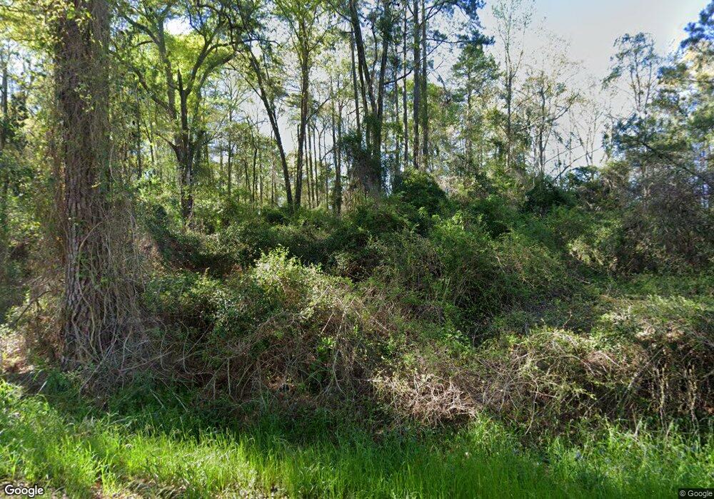
251 Regan Rd Foxworth, MS 39483
Estimated Value: $117,849 - $218,000
--
Bed
--
Bath
1,871
Sq Ft
$98/Sq Ft
Est. Value
About This Home
This home is located at 251 Regan Rd, Foxworth, MS 39483 and is currently estimated at $183,962, approximately $98 per square foot. 251 Regan Rd is a home located in Marion County with nearby schools including West Marion Primary School, West Marion Elementary School, and West Marion High School.
Ownership History
Date
Name
Owned For
Owner Type
Purchase Details
Closed on
Feb 3, 2025
Sold by
Gonzalez Francisco Anotonio Lemus
Bought by
Rodrigues-Lopez Luis C
Current Estimated Value
Purchase Details
Closed on
Sep 11, 2014
Sold by
Gabe Gabe and Hartzog Jammie S
Bought by
Gonzalez Franciso Antonio Lewus
Home Financials for this Owner
Home Financials are based on the most recent Mortgage that was taken out on this home.
Original Mortgage
$51,754
Interest Rate
4.17%
Mortgage Type
Future Advance Clause Open End Mortgage
Create a Home Valuation Report for This Property
The Home Valuation Report is an in-depth analysis detailing your home's value as well as a comparison with similar homes in the area
Home Values in the Area
Average Home Value in this Area
Purchase History
| Date | Buyer | Sale Price | Title Company |
|---|---|---|---|
| Rodrigues-Lopez Luis C | -- | None Listed On Document | |
| Gonzalez Franciso Antonio Lewus | -- | -- |
Source: Public Records
Mortgage History
| Date | Status | Borrower | Loan Amount |
|---|---|---|---|
| Previous Owner | Gonzalez Franciso Antonio Lewus | $51,754 |
Source: Public Records
Tax History Compared to Growth
Tax History
| Year | Tax Paid | Tax Assessment Tax Assessment Total Assessment is a certain percentage of the fair market value that is determined by local assessors to be the total taxable value of land and additions on the property. | Land | Improvement |
|---|---|---|---|---|
| 2025 | $636 | $8,184 | $0 | $0 |
| 2024 | $636 | $6,346 | $0 | $0 |
| 2023 | $637 | $6,357 | $0 | $0 |
| 2022 | $576 | $6,352 | $0 | $0 |
| 2021 | $572 | $6,355 | $0 | $0 |
| 2020 | $598 | $6,433 | $0 | $0 |
| 2019 | $598 | $6,436 | $0 | $0 |
| 2018 | $598 | $6,436 | $0 | $0 |
| 2017 | $598 | $6,436 | $0 | $0 |
| 2016 | $1,216 | $9,467 | $0 | $0 |
| 2015 | $555 | $9,463 | $0 | $0 |
| 2014 | $555 | $6,327 | $0 | $0 |
Source: Public Records
Map
Nearby Homes
- 00 Mount Carmel Church Rd
- TBD Mt Carmel Church
- 457 Hurricane Creek Rd
- 0 10 Mile Creek Rd
- 00 Forbes Rd
- 15 Old Highway 35
- 2689 Highway 35 S
- 450 Old River Rd S
- 00 S Old Hwy 13
- Old Hwy 13 Unit LotWP001
- 274 Jamestown Rd Unit LotWP001
- 134 Old Sandy Hook Rd
- 84 ac Hattie Ln
- 1289 Mississippi 43
- 00 John D Fortenberry Rd
- 00 S Hwy 43
- 731 New Hope-Kokomo Rd
- 274 Game Reserve Rd
- 22 J E Brown Dr
- 223 Ward Loop
