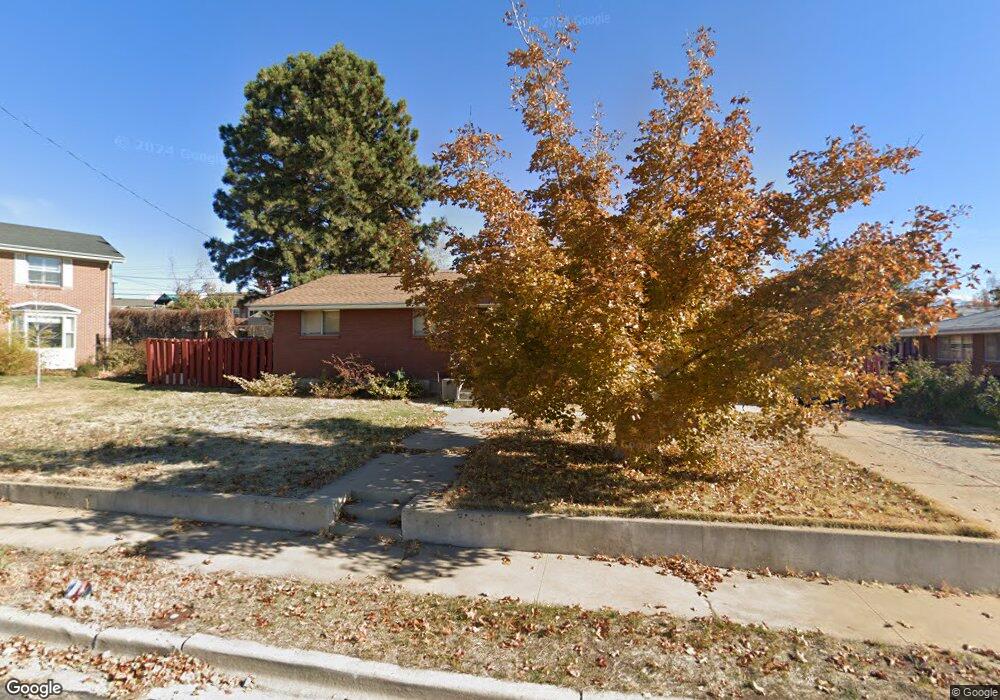
251 S 600 E Clearfield, UT 84015
Estimated Value: $391,000 - $451,000
5
Beds
3
Baths
2,736
Sq Ft
$156/Sq Ft
Est. Value
About This Home
This home is located at 251 S 600 E, Clearfield, UT 84015 and is currently estimated at $428,083, approximately $156 per square foot. 251 S 600 E is a home located in Davis County with nearby schools including Wasatch Elementary School, North Davis Junior High School, and Clearfield High School.
Ownership History
Date
Name
Owned For
Owner Type
Purchase Details
Closed on
Aug 23, 2006
Sold by
Montgomery Faunt E
Bought by
Brandt Seth and Brandt Anneli
Current Estimated Value
Home Financials for this Owner
Home Financials are based on the most recent Mortgage that was taken out on this home.
Original Mortgage
$36,200
Interest Rate
6.33%
Mortgage Type
Stand Alone Second
Purchase Details
Closed on
Aug 18, 1999
Sold by
Montgomery Faunt E
Bought by
Montgomery Faunt E
Purchase Details
Closed on
Dec 10, 1998
Sold by
Montgomery Faunt E and Montgomery Joye B
Bought by
Montgomery Faunt E
Create a Home Valuation Report for This Property
The Home Valuation Report is an in-depth analysis detailing your home's value as well as a comparison with similar homes in the area
Home Values in the Area
Average Home Value in this Area
Purchase History
| Date | Buyer | Sale Price | Title Company |
|---|---|---|---|
| Brandt Seth | -- | First American Title | |
| Montgomery Faunt E | -- | -- | |
| Montgomery Faunt E | -- | -- |
Source: Public Records
Mortgage History
| Date | Status | Borrower | Loan Amount |
|---|---|---|---|
| Closed | Brandt Seth | $36,200 | |
| Open | Brandt Seth | $144,800 |
Source: Public Records
Tax History
| Year | Tax Paid | Tax Assessment Tax Assessment Total Assessment is a certain percentage of the fair market value that is determined by local assessors to be the total taxable value of land and additions on the property. | Land | Improvement |
|---|---|---|---|---|
| 2025 | $2,608 | $233,750 | $77,389 | $156,361 |
| 2024 | $2,529 | $228,250 | $73,950 | $154,300 |
| 2023 | $2,360 | $391,000 | $117,820 | $273,180 |
| 2022 | $2,541 | $227,700 | $67,082 | $160,618 |
| 2021 | $2,083 | $282,000 | $73,862 | $208,138 |
| 2020 | $1,867 | $251,000 | $62,619 | $188,381 |
| 2019 | $1,823 | $242,000 | $63,791 | $178,209 |
| 2018 | $1,655 | $214,000 | $53,790 | $160,210 |
| 2016 | $1,425 | $96,360 | $22,794 | $73,566 |
| 2015 | $1,338 | $86,240 | $22,794 | $63,446 |
| 2014 | $1,347 | $87,986 | $22,794 | $65,192 |
| 2013 | -- | $65,364 | $24,722 | $40,642 |
Source: Public Records
Map
Nearby Homes
Your Personal Tour Guide
Ask me questions while you tour the home.