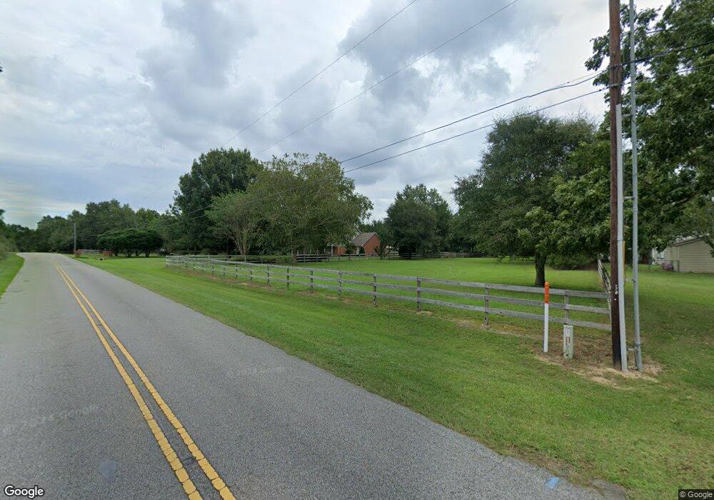
251 S Shady Ln Dothan, AL 36305
Estimated Value: $280,000 - $361,000
--
Bed
--
Bath
2,715
Sq Ft
$117/Sq Ft
Est. Value
About This Home
This home is located at 251 S Shady Ln, Dothan, AL 36305 and is currently estimated at $318,683, approximately $117 per square foot. 251 S Shady Ln is a home with nearby schools including Dothan City Early Education Center, Heard Elementary School, and Dothan Preparatory Academy.
Ownership History
Date
Name
Owned For
Owner Type
Purchase Details
Closed on
Jan 8, 2015
Sold by
Slaughter Christopher Kent and Slaughter Patricia Ann
Bought by
Slaughter Christopher Kent
Current Estimated Value
Purchase Details
Closed on
Jun 9, 2014
Sold by
Norma Jean Norma Jean and Sillings Earl Wayne
Bought by
Burchfield Justin Todd and Burchfield Lindsey Sillings
Purchase Details
Closed on
Aug 30, 2012
Sold by
Sillings Norma Jean and Sillings Earl Wayne
Bought by
Reckiert Madonna
Create a Home Valuation Report for This Property
The Home Valuation Report is an in-depth analysis detailing your home's value as well as a comparison with similar homes in the area
Home Values in the Area
Average Home Value in this Area
Purchase History
| Date | Buyer | Sale Price | Title Company |
|---|---|---|---|
| Slaughter Christopher Kent | $190,100 | -- | |
| Slaughter Christopher Kent | $190,100 | -- | |
| Burchfield Justin Todd | $30,800 | -- | |
| Reckiert Madonna | -- | -- |
Source: Public Records
Tax History Compared to Growth
Tax History
| Year | Tax Paid | Tax Assessment Tax Assessment Total Assessment is a certain percentage of the fair market value that is determined by local assessors to be the total taxable value of land and additions on the property. | Land | Improvement |
|---|---|---|---|---|
| 2024 | $968 | $28,420 | $0 | $0 |
| 2023 | $968 | $26,960 | $0 | $0 |
| 2022 | $770 | $23,840 | $0 | $0 |
| 2021 | $695 | $23,500 | $0 | $0 |
| 2020 | $683 | $21,300 | $0 | $0 |
| 2019 | $665 | $20,780 | $0 | $0 |
| 2018 | $636 | $19,940 | $0 | $0 |
| 2017 | $632 | $19,820 | $0 | $0 |
| 2016 | $632 | $0 | $0 | $0 |
| 2015 | $213 | $0 | $0 | $0 |
| 2014 | $213 | $0 | $0 | $0 |
Source: Public Records
Map
Nearby Homes
- 0 Hartford Hwy
- 1052 Trawick Rd
- 120 Moultrie Dr
- 106 Pageland Rd
- 118 Moultrie Dr
- 606 Frankfort Dr
- 1619 Trawick Rd
- 109 Winthrop Ct
- 205 Paul Revere Run
- 404 Mount Vernon Ln
- 108 Paul Revere Run
- 202 Petersburg Ct
- 2156 Honeysuckle Rd
- 502 Covey Cir
- 114 Bozeman Way
- 206 Billings Trail
- 213 Daphne Dr
- 202 Halifax Dr
- 105 Christen Ln
- 906 Wimbledon Dr
