Estimated Value: $235,000 - $279,000
4
Beds
2
Baths
1,766
Sq Ft
$144/Sq Ft
Est. Value
About This Home
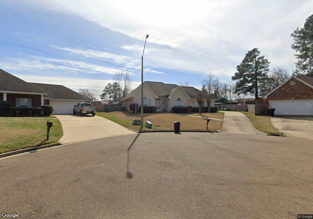
This home is located at 251 W Meade St Unit WEST, Pearl, MS 39208 and is currently estimated at $254,045, approximately $143 per square foot. 251 W Meade St Unit WEST is a home located in Rankin County with nearby schools including Pearl Lower Elementary School, Northside Elementary School, and Pearl Upper School.
Ownership History
Date
Name
Owned For
Owner Type
Purchase Details
Closed on
May 3, 2021
Sold by
Brewer William J
Bought by
Barton Percy L and Barton Yvonne M
Current Estimated Value
Home Financials for this Owner
Home Financials are based on the most recent Mortgage that was taken out on this home.
Original Mortgage
$201,286
Outstanding Balance
$181,737
Interest Rate
3%
Mortgage Type
New Conventional
Estimated Equity
$72,308
Create a Home Valuation Report for This Property
The Home Valuation Report is an in-depth analysis detailing your home's value as well as a comparison with similar homes in the area
Home Values in the Area
Average Home Value in this Area
Purchase History
| Date | Buyer | Sale Price | Title Company |
|---|---|---|---|
| Barton Percy L | -- | New Title Company Name |
Source: Public Records
Mortgage History
| Date | Status | Borrower | Loan Amount |
|---|---|---|---|
| Open | Barton Percy L | $201,286 |
Source: Public Records
Tax History Compared to Growth
Tax History
| Year | Tax Paid | Tax Assessment Tax Assessment Total Assessment is a certain percentage of the fair market value that is determined by local assessors to be the total taxable value of land and additions on the property. | Land | Improvement |
|---|---|---|---|---|
| 2024 | $1,695 | $15,658 | $0 | $0 |
| 2023 | $1,124 | $16,282 | $0 | $0 |
| 2022 | $1,110 | $16,282 | $0 | $0 |
| 2021 | $1,759 | $16,282 | $0 | $0 |
| 2020 | $1,759 | $16,282 | $0 | $0 |
| 2019 | $1,571 | $14,583 | $0 | $0 |
| 2018 | $1,569 | $14,583 | $0 | $0 |
| 2017 | $1,569 | $14,583 | $0 | $0 |
| 2016 | $1,525 | $14,240 | $0 | $0 |
| 2015 | $1,525 | $14,240 | $0 | $0 |
| 2014 | $1,525 | $14,240 | $0 | $0 |
| 2013 | -- | $14,240 | $0 | $0 |
Source: Public Records
Map
Nearby Homes
- 230 Van Doren St
- 232 Trojan Dr
- 120 Trojan Dr
- 206 Areo Dr
- 3537 Patterson Dr
- 126 Harle Cir
- 3537 Harle St
- 3443 Marguerite Dr
- 0 U S 80 Unit 143012
- 5204,5220 U S 80
- 0 U S 80
- 3426 Marguerite Dr
- 332 Lodi Dr
- 131 Richburg Ct
- 3410 Mahaffey Dr
- 3422 Kites Ave
- 525 Oak Park Cir
- 3257 Harle St
- No Old Brandon Rd
- 3206 Virginia St