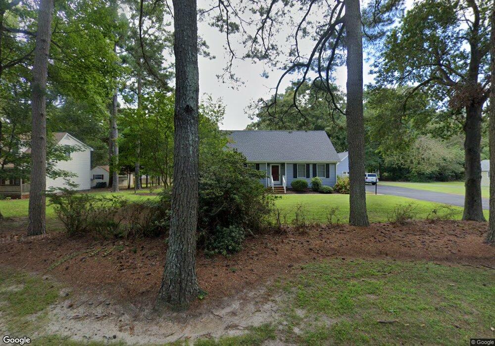
2510 Mattaponi Ave West Point, VA 23181
Estimated Value: $336,000 - $406,000
3
Beds
4
Baths
2,154
Sq Ft
$172/Sq Ft
Est. Value
About This Home
This home is located at 2510 Mattaponi Ave, West Point, VA 23181 and is currently estimated at $370,144, approximately $171 per square foot. 2510 Mattaponi Ave is a home located in King William County with nearby schools including West Point Elementary School, West Point Middle School, and West Point High School.
Ownership History
Date
Name
Owned For
Owner Type
Purchase Details
Closed on
Mar 16, 2010
Sold by
Wilson Jonathan Blair and Glidewell Teresa M
Bought by
Vosnick Matthew J
Current Estimated Value
Home Financials for this Owner
Home Financials are based on the most recent Mortgage that was taken out on this home.
Original Mortgage
$160,000
Outstanding Balance
$106,256
Interest Rate
5.02%
Mortgage Type
New Conventional
Estimated Equity
$263,888
Create a Home Valuation Report for This Property
The Home Valuation Report is an in-depth analysis detailing your home's value as well as a comparison with similar homes in the area
Home Values in the Area
Average Home Value in this Area
Purchase History
| Date | Buyer | Sale Price | Title Company |
|---|---|---|---|
| Vosnick Matthew J | $200,000 | -- |
Source: Public Records
Mortgage History
| Date | Status | Borrower | Loan Amount |
|---|---|---|---|
| Open | Vosnick Matthew J | $160,000 |
Source: Public Records
Tax History Compared to Growth
Tax History
| Year | Tax Paid | Tax Assessment Tax Assessment Total Assessment is a certain percentage of the fair market value that is determined by local assessors to be the total taxable value of land and additions on the property. | Land | Improvement |
|---|---|---|---|---|
| 2025 | $824 | $270,000 | $28,000 | $242,000 |
| 2024 | $729 | $270,000 | $28,000 | $242,000 |
| 2023 | $729 | $270,000 | $28,000 | $242,000 |
| 2022 | $587 | $156,400 | $28,000 | $128,400 |
| 2021 | $594 | $156,400 | $28,000 | $128,400 |
| 2020 | $594 | $207,800 | $27,000 | $180,800 |
| 2019 | $594 | $149,600 | $28,000 | $121,600 |
| 2018 | $610 | $156,400 | $28,000 | $128,400 |
| 2017 | $633 | $156,400 | $28,000 | $128,400 |
| 2016 | $641 | $156,400 | $28,000 | $128,400 |
| 2015 | $673 | $156,400 | $28,000 | $128,400 |
| 2014 | $747 | $0 | $0 | $0 |
Source: Public Records
Map
Nearby Homes
- 2660 N Oak Ln
- 605 Rivergate Terrace
- 342 Ogden St
- 332 Ogden St
- 322 Ogden St
- 330 Pointers Dr
- 314 Ogden St
- 311 Pointers Dr
- 321 Pointers Dr
- Lot 23 Glen St
- 000 Glen St
- .21ac Glen St
- 00 Glen St
- 230 Glen St
- 4204 Mattaponi Ave
- 3050 King William Ave
- .21ac King William Ave
- Lot 24 King William Ave
- Lot 25 King William Ave
- 3557 Odi St
- 880 Westwood Ct
- 2490 Mattaponi Ave
- 2555 Mattaponi Ave
- 860 Westwood Ct
- 2560 Mattaponi Ave
- 2560 Mattaponi Ave
- 2500 Mattaponi Ave
- 840 Westwood Ct
- 890 Thompson Ave
- 870 Thompson Ave
- 2480 Mattaponi Ave
- 855 Thompson Ave
- 2470 Mattaponi Ave
- Lot 31 Sturtz Rd
- Lot 35 Sturtz Rd
- 850 Westwood Ct
- 910 Thompson Ave
- 830 Westwood Ct
- 2460 Mattaponi Ave
- 810 Westwood Ct