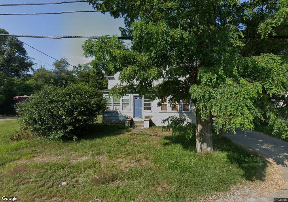
2511 Cranberry Hwy Wareham, MA 02571
Estimated Value: $426,000 - $546,000
2
Beds
2
Baths
1,563
Sq Ft
$311/Sq Ft
Est. Value
About This Home
This home is located at 2511 Cranberry Hwy, Wareham, MA 02571 and is currently estimated at $486,359, approximately $311 per square foot. 2511 Cranberry Hwy is a home located in Plymouth County.
Ownership History
Date
Name
Owned For
Owner Type
Purchase Details
Closed on
Jul 25, 2002
Sold by
Gabriel Thomas D and Gabriel Helen
Bought by
Phillips Carl B
Current Estimated Value
Purchase Details
Closed on
Oct 23, 2000
Sold by
Phillips Betsy B
Bought by
Phillips Carl B
Create a Home Valuation Report for This Property
The Home Valuation Report is an in-depth analysis detailing your home's value as well as a comparison with similar homes in the area
Home Values in the Area
Average Home Value in this Area
Purchase History
| Date | Buyer | Sale Price | Title Company |
|---|---|---|---|
| Phillips Carl B | $5,000 | -- | |
| Phillips Carl B | $5,000 | -- | |
| Phillips Carl B | $136,000 | -- | |
| Phillips Carl B | $136,000 | -- |
Source: Public Records
Mortgage History
| Date | Status | Borrower | Loan Amount |
|---|---|---|---|
| Open | Phillips Carl B | $270,000 | |
| Closed | Phillips Carl B | $50,000 | |
| Closed | Phillips Carl B | $179,000 |
Source: Public Records
Tax History Compared to Growth
Tax History
| Year | Tax Paid | Tax Assessment Tax Assessment Total Assessment is a certain percentage of the fair market value that is determined by local assessors to be the total taxable value of land and additions on the property. | Land | Improvement |
|---|---|---|---|---|
| 2025 | $3,735 | $358,400 | $99,200 | $259,200 |
| 2024 | $3,878 | $345,300 | $77,600 | $267,700 |
| 2023 | $3,783 | $314,500 | $70,600 | $243,900 |
| 2022 | $3,444 | $261,300 | $70,600 | $190,700 |
| 2021 | $3,157 | $234,700 | $70,600 | $164,100 |
| 2020 | $3,019 | $227,700 | $70,600 | $157,100 |
| 2019 | $2,872 | $216,100 | $68,300 | $147,800 |
| 2018 | $2,648 | $194,300 | $68,300 | $126,000 |
| 2017 | $2,613 | $194,300 | $68,300 | $126,000 |
| 2016 | $2,419 | $178,800 | $66,500 | $112,300 |
| 2015 | $2,302 | $176,100 | $66,500 | $109,600 |
| 2014 | $2,409 | $187,500 | $63,200 | $124,300 |
Source: Public Records
Map
Nearby Homes
- 687 Main St
- 0 Main St Unit 73450471
- 19 Station St
- 437 Main St
- 189 Pine View Terrace
- 53 Starboard Dr Unit 36G
- 110 Mayflower Ridge Dr
- 199 Windswept Rd
- 87 Great Hill Dr
- 59 Timber Ln
- 233 Marion Rd
- 21 Windsor Dr
- 41 Longboat Rd
- 62 High St
- 6 A Rock Marsh Rd Unit A
- 6 A Rock Marsh Rd Unit A
- 27 Siesta Dr
- 20 Gault Rd
- 51 Crest Dr
- 45 Main St Unit 38
- 2508 Cranberry Hwy
- 2512 Cranberry Hwy Unit B
- 2512 Cranberry Hwy Unit Back
- 2512 Cranberry Hwy
- 2512 Cranberry Hwy Unit R
- 2512 Cranberry Hwy Unit House
- 2512 Cranberry Hwy Unit Rear
- 2506 Cranberry Hwy
- 2510 Cranberry Hwy Unit 4
- 2510 Cranberry Hwy
- 2510 Cranberry Hwy Unit Lower Level
- 2510 Cranberry Hwy Unit 2
- 2510 Cranberry Hwy Unit R
- 2510 Cranberry Hwy Unit 1
- 2510 Cranberry Hwy Unit REAR
- 2510 Cranberry Hwy Unit LOWER
- 2510 Cranberry Hwy Unit TOP FLOOR
- 2510 Cranberry Hwy Unit 1&2
- 2510 Cranberry Hwy Unit 5
- 2507 Cranberry Hwy