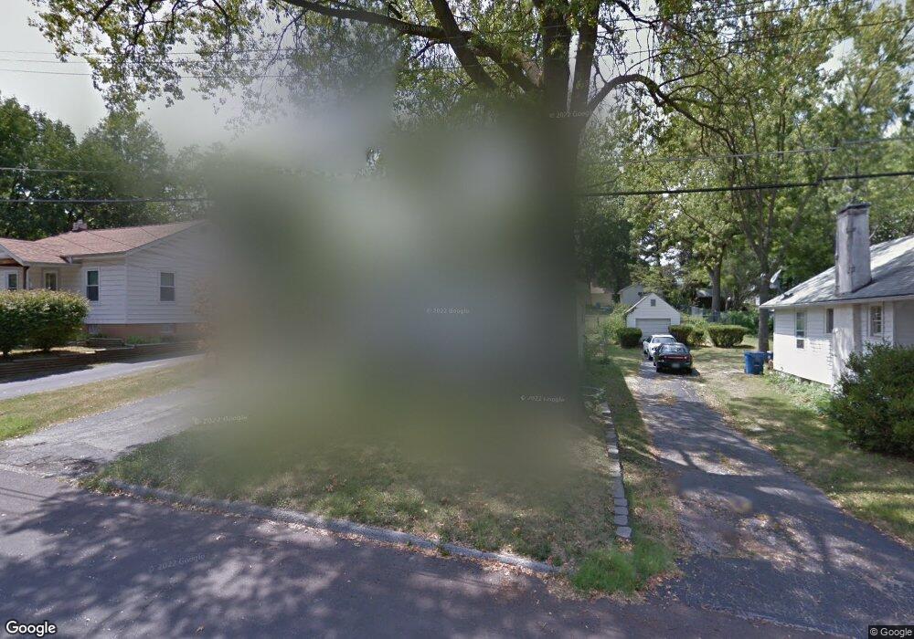
2511 Leslie Ave Saint Louis, MO 63114
Estimated Value: $125,000 - $158,000
3
Beds
2
Baths
936
Sq Ft
$150/Sq Ft
Est. Value
About This Home
This home is located at 2511 Leslie Ave, Saint Louis, MO 63114 and is currently estimated at $140,071, approximately $149 per square foot. 2511 Leslie Ave is a home located in St. Louis County with nearby schools including Marion Elementary School, Ritenour Middle School, and Ritenour Senior High School.
Ownership History
Date
Name
Owned For
Owner Type
Purchase Details
Closed on
Sep 23, 2009
Sold by
Deutsche Bank National Trust Company
Bought by
Edmiston Richard
Current Estimated Value
Purchase Details
Closed on
Mar 13, 2009
Sold by
Strachan Tad D and Strachan Crystal
Bought by
Deutsche Bank National Trust Company
Purchase Details
Closed on
Nov 10, 2003
Sold by
Wallace Laura Ester
Bought by
Strachan Tad D and Strachan Crystal
Home Financials for this Owner
Home Financials are based on the most recent Mortgage that was taken out on this home.
Original Mortgage
$70,200
Interest Rate
8.15%
Mortgage Type
Purchase Money Mortgage
Create a Home Valuation Report for This Property
The Home Valuation Report is an in-depth analysis detailing your home's value as well as a comparison with similar homes in the area
Home Values in the Area
Average Home Value in this Area
Purchase History
| Date | Buyer | Sale Price | Title Company |
|---|---|---|---|
| Edmiston Richard | $40,000 | First American Title Company | |
| Deutsche Bank National Trust Company | $60,000 | None Available | |
| Strachan Tad D | -- | -- |
Source: Public Records
Mortgage History
| Date | Status | Borrower | Loan Amount |
|---|---|---|---|
| Previous Owner | Strachan Tad D | $70,200 |
Source: Public Records
Tax History Compared to Growth
Tax History
| Year | Tax Paid | Tax Assessment Tax Assessment Total Assessment is a certain percentage of the fair market value that is determined by local assessors to be the total taxable value of land and additions on the property. | Land | Improvement |
|---|---|---|---|---|
| 2025 | $1,687 | $22,210 | $6,820 | $15,390 |
| 2024 | $1,687 | $19,610 | $2,340 | $17,270 |
| 2023 | $1,650 | $19,610 | $2,340 | $17,270 |
| 2022 | $1,623 | $16,930 | $2,740 | $14,190 |
| 2021 | $1,623 | $16,930 | $2,740 | $14,190 |
| 2020 | $1,543 | $14,840 | $3,500 | $11,340 |
| 2019 | $1,527 | $14,840 | $3,500 | $11,340 |
| 2018 | $1,583 | $13,860 | $2,740 | $11,120 |
| 2017 | $1,510 | $13,860 | $2,740 | $11,120 |
| 2016 | $1,395 | $13,040 | $3,120 | $9,920 |
| 2015 | $1,428 | $13,040 | $3,120 | $9,920 |
| 2014 | $1,429 | $13,280 | $1,580 | $11,700 |
Source: Public Records
Map
Nearby Homes
- 2527 Leslie Ave
- 2529 Leslie Ave
- 2528 Leslie Ave
- 9640 Tennyson Ave
- 2709 W Tennyson Ave
- 2432 Chaucer Ave
- 2436 Pinehurst Dr
- 9911 Dennison Ave
- 9531 Marlowe Ave
- 2321 Dawes Place
- 9515 Marlowe Ave
- 2242 Huntington Ave
- 2326 Hood Ave
- 10107 Niblic Dr
- 10111 Niblic Dr
- 3112 Airway Ave
- 2893 Lesmer Ct
- 10235 Midland Blvd
- 10222 Saint Dennis Ln
- 3222 W Tennyson Ave
- 2515 Leslie Ave
- 2509 Leslie Ave
- 2517 Leslie Ave
- 2505 Leslie Ave
- 2509 Gass Ave
- 2511 Gass Ave
- 2507 Gass Ave
- 2512 Wismer Ave
- 2513 Gass Ave
- 2508 Wismer Ave
- 2521 Leslie Ave
- 2516 Wismer Ave
- 2501 Leslie Ave
- 2505 Gass Ave
- 2519 Gass Ave
- 2506 Wismer Ave
- 2518 Wismer Ave
- 2503 Gass Ave
- 2523 Gass Ave
- 2504 Wismer Ave