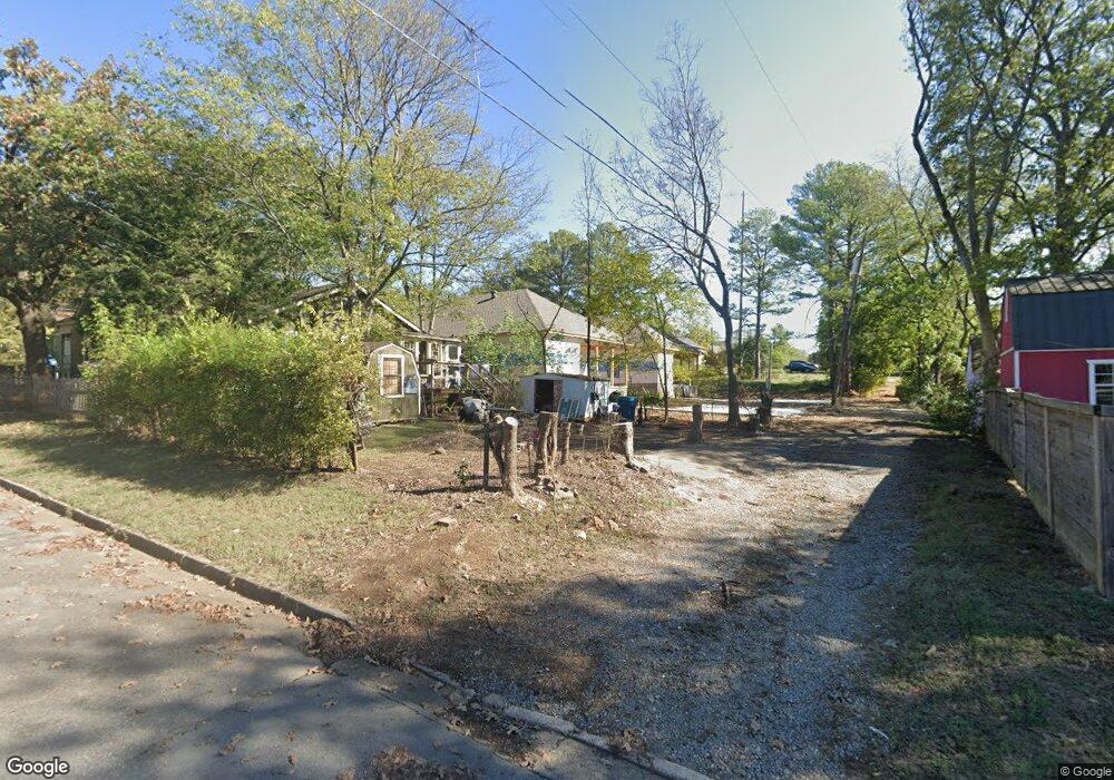
2511 W Capitol Ave Little Rock, AR 72205
Hillcrest NeighborhoodEstimated Value: $258,000 - $339,000
--
Bed
1
Bath
1,598
Sq Ft
$188/Sq Ft
Est. Value
About This Home
This home is located at 2511 W Capitol Ave, Little Rock, AR 72205 and is currently estimated at $299,962, approximately $187 per square foot. 2511 W Capitol Ave is a home located in Pulaski County with nearby schools including M.L. King Elementary School, Dunbar Magnet Middle School, and Central High School.
Ownership History
Date
Name
Owned For
Owner Type
Purchase Details
Closed on
Jun 30, 2021
Sold by
Mcelhaney Albert B and Mcelhaney Mary Ann
Bought by
Michau Paula
Current Estimated Value
Purchase Details
Closed on
Jul 1, 2019
Sold by
Mcelhaney Mary Ann
Bought by
Mcelhaney Mary Ann and Mcelhaney Albert
Purchase Details
Closed on
Mar 4, 2003
Sold by
Mcelhaney Mary Ann and Estate Of Charles David Cellar
Bought by
Mcelhaney Mary Ann
Purchase Details
Closed on
Dec 13, 2002
Sold by
Mcelhaney Mary Ann and Estate Of Charles David Cellar
Bought by
Mcelhaney Mary Ann
Create a Home Valuation Report for This Property
The Home Valuation Report is an in-depth analysis detailing your home's value as well as a comparison with similar homes in the area
Home Values in the Area
Average Home Value in this Area
Purchase History
| Date | Buyer | Sale Price | Title Company |
|---|---|---|---|
| Michau Paula | -- | None Available | |
| Mcelhaney Mary Ann | -- | None Available | |
| Mcelhaney Mary Ann | -- | -- | |
| Mcelhaney Mary Ann | -- | -- |
Source: Public Records
Tax History Compared to Growth
Tax History
| Year | Tax Paid | Tax Assessment Tax Assessment Total Assessment is a certain percentage of the fair market value that is determined by local assessors to be the total taxable value of land and additions on the property. | Land | Improvement |
|---|---|---|---|---|
| 2025 | $3,192 | $45,603 | $1,400 | $44,203 |
| 2024 | $196 | $45,603 | $1,400 | $44,203 |
| 2023 | $196 | $2,800 | $2,800 | $0 |
| 2022 | $2,387 | $34,103 | $2,800 | $31,303 |
| 2021 | $1,715 | $24,330 | $5,200 | $19,130 |
| 2020 | $1,703 | $24,330 | $5,200 | $19,130 |
| 2019 | $1,679 | $24,330 | $5,200 | $19,130 |
| 2018 | $1,550 | $24,330 | $5,200 | $19,130 |
| 2017 | $1,421 | $24,330 | $5,200 | $19,130 |
| 2016 | $1,292 | $33,910 | $7,200 | $26,710 |
| 2015 | $1,201 | $17,139 | $7,200 | $9,939 |
| 2014 | $1,201 | $14,499 | $7,200 | $7,299 |
Source: Public Records
Map
Nearby Homes
- 216 Rice St
- 312 Barton St
- 2717 W Capitol Ave
- 201 Dennison St
- 306 S Woodrow St
- 305 Booker St
- 400 S Booker St
- 2020 W 3rd St
- 121 N Woodrow St
- 123 N Schiller St
- 127 N Schiller St
- 107 N Summit St
- 301 N Woodrow St
- 111 Midland St
- 923 Booker St
- 1116 Kavanaugh Blvd
- 3212 Lamar St
- 102 Midland St
- 1109 Kavanaugh Blvd
- 203 Midland St
- 2509 W Capitol Ave
- 2515 W Capitol Ave
- 424 Thayer St
- 2508 W 6th St
- 2510 W 6th St
- 2506 W 6th St
- 2512 W 6th St
- 2501 W Capitol Ave
- W 6th St Unit 1
- W 6th St Unit 4
- W 6th St Unit 2
- W 6th St Unit 10
- W 6th St Unit 11
- W 6th St
- 2516 W 6th St
- 516 Thayer St
- 2510 W Capitol Ave
- 422 Thayer St
- 2601 W Capitol Ave
- 0 Coates St