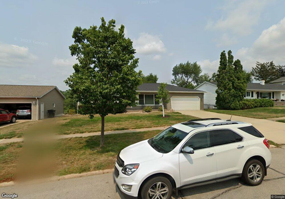
2512 10th Ave SW Cedar Rapids, IA 52404
Estimated Value: $228,000 - $251,000
4
Beds
3
Baths
1,460
Sq Ft
$164/Sq Ft
Est. Value
About This Home
This home is located at 2512 10th Ave SW, Cedar Rapids, IA 52404 and is currently estimated at $238,985, approximately $163 per square foot. 2512 10th Ave SW is a home located in Linn County with nearby schools including Junction City Elementary School, Cleveland Elementary School, and Kentucky Tech - Ashland Reg Tech Center.
Ownership History
Date
Name
Owned For
Owner Type
Purchase Details
Closed on
May 22, 2001
Sold by
Peddycoart Daniel E and Peddycoart Linda D
Bought by
Bronson Michael J and Bronson Janice A
Current Estimated Value
Home Financials for this Owner
Home Financials are based on the most recent Mortgage that was taken out on this home.
Original Mortgage
$70,000
Interest Rate
7.18%
Create a Home Valuation Report for This Property
The Home Valuation Report is an in-depth analysis detailing your home's value as well as a comparison with similar homes in the area
Home Values in the Area
Average Home Value in this Area
Purchase History
| Date | Buyer | Sale Price | Title Company |
|---|---|---|---|
| Bronson Michael J | $158,500 | -- |
Source: Public Records
Mortgage History
| Date | Status | Borrower | Loan Amount |
|---|---|---|---|
| Closed | Bronson Michael J | $70,000 |
Source: Public Records
Tax History Compared to Growth
Tax History
| Year | Tax Paid | Tax Assessment Tax Assessment Total Assessment is a certain percentage of the fair market value that is determined by local assessors to be the total taxable value of land and additions on the property. | Land | Improvement |
|---|---|---|---|---|
| 2025 | $3,260 | $242,400 | $44,200 | $198,200 |
| 2024 | $3,808 | $210,300 | $38,400 | $171,900 |
| 2023 | $3,808 | $210,300 | $38,400 | $171,900 |
| 2022 | $3,526 | $192,800 | $38,400 | $154,400 |
| 2021 | $3,588 | $182,600 | $34,600 | $148,000 |
| 2020 | $3,588 | $174,500 | $30,700 | $143,800 |
| 2019 | $3,310 | $165,300 | $30,700 | $134,600 |
| 2018 | $3,212 | $165,300 | $30,700 | $134,600 |
| 2017 | $3,178 | $157,700 | $30,700 | $127,000 |
| 2016 | $3,339 | $160,400 | $28,500 | $131,900 |
| 2015 | $3,421 | $164,115 | $28,463 | $135,652 |
| 2014 | $3,236 | $164,115 | $28,463 | $135,652 |
| 2013 | $3,160 | $164,115 | $28,463 | $135,652 |
Source: Public Records
Map
Nearby Homes
- 2437 9th Ave SW
- 2433 8th Ave SW
- 2178 Chandler St SW
- 3013 Sue Ln NW
- 159 26th St NW
- 3109 12th Ave SW
- 232 27th St NW
- 1253 20th St SW
- 225 31st St NW
- 1832 8th Ave SW
- 3403 1st Ave SW
- Remington - Cedar Rapids Plan at Whispering Pines
- Copeland Plan at Whispering Pines
- Meadowbrook - Cedar Rapids Plan at Stags Leap Estates
- Caldwell Plan at Stags Leap Estates
- Concord - Cedar Rapids Plan at Stags Leap Estates
- Yuma Expanded Plan at Whispering Pines
- Becker II Plan at Kirkwood Village - Kirk Wood Village
- Meadowbrook - Cedar Rapids Plan at Whispering Pines
- Richland Plan at Stags Leap Estates
- 2522 10th Ave SW
- 2502 10th Ave SW
- 2532 10th Ave SW
- 2600 10th Ave SW
- 2452 10th Ave SW
- 2511 10th Ave SW
- 2521 10th Ave SW
- 2501 10th Ave SW
- 2448 10th Ave SW
- 1090 Juniper Dr SW
- 2459 9th Ave SW
- 2455 10th Ave SW
- 2455 9th Ave SW
- 1082 Juniper Dr SW
- 2444 10th Ave SW
- 2451 10th Ave SW
- 1048 Juniper Dr SW
- 1056 Juniper Dr SW
- 2451 9th Ave SW
- 1040 Juniper Dr SW