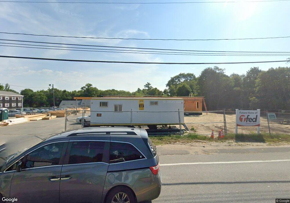
2512 Cranberry Hwy Wareham, MA 02571
Estimated Value: $1,125,179
--
Bed
2
Baths
--
Sq Ft
1.07
Acres
About This Home
This home is located at 2512 Cranberry Hwy, Wareham, MA 02571 and is currently estimated at $1,125,179. 2512 Cranberry Hwy is a home located in Plymouth County.
Ownership History
Date
Name
Owned For
Owner Type
Purchase Details
Closed on
Aug 31, 2023
Sold by
Gabriel Ft and Gabriel
Bought by
Taunton Fed Cu
Current Estimated Value
Purchase Details
Closed on
Oct 30, 2013
Sold by
Gabriel Christopher P and Gabriel Maureen M
Bought by
Gabriel Ft and Gabriel
Create a Home Valuation Report for This Property
The Home Valuation Report is an in-depth analysis detailing your home's value as well as a comparison with similar homes in the area
Home Values in the Area
Average Home Value in this Area
Purchase History
| Date | Buyer | Sale Price | Title Company |
|---|---|---|---|
| Taunton Fed Cu | $1,000,000 | None Available | |
| Taunton Fed Cu | $1,000,000 | None Available | |
| Gabriel Ft | -- | -- | |
| Gabriel Ft | -- | -- |
Source: Public Records
Mortgage History
| Date | Status | Borrower | Loan Amount |
|---|---|---|---|
| Previous Owner | Gabriel Ft | $200,000 |
Source: Public Records
Tax History Compared to Growth
Tax History
| Year | Tax Paid | Tax Assessment Tax Assessment Total Assessment is a certain percentage of the fair market value that is determined by local assessors to be the total taxable value of land and additions on the property. | Land | Improvement |
|---|---|---|---|---|
| 2025 | $2,693 | $258,400 | $253,900 | $4,500 |
| 2024 | $5,964 | $531,100 | $169,200 | $361,900 |
| 2023 | $6,092 | $506,400 | $169,200 | $337,200 |
| 2022 | $5,944 | $451,000 | $169,200 | $281,800 |
| 2021 | $5,695 | $423,400 | $169,200 | $254,200 |
| 2020 | $5,517 | $416,100 | $169,200 | $246,900 |
| 2019 | $5,453 | $410,300 | $161,400 | $248,900 |
| 2018 | $5,272 | $386,800 | $161,400 | $225,400 |
| 2017 | $5,202 | $386,800 | $161,400 | $225,400 |
| 2016 | $5,035 | $372,100 | $161,400 | $210,700 |
| 2015 | $4,824 | $369,100 | $161,400 | $207,700 |
| 2014 | $4,918 | $382,700 | $226,800 | $155,900 |
Source: Public Records
Map
Nearby Homes
- 687 Main St
- 0 Main St Unit 73450471
- 437 Main St
- 19 Station St
- 189 Pine View Terrace
- 53 Starboard Dr Unit 36G
- 110 Mayflower Ridge Dr
- 199 Windswept Rd
- 87 Great Hill Dr
- 59 Timber Ln
- 233 Marion Rd
- 62 High St
- 21 Windsor Dr
- 41 Longboat Rd
- 6 A Rock Marsh Rd Unit A
- 6 A Rock Marsh Rd Unit A
- 27 Siesta Dr
- 45 Main St Unit 38
- 20 Gault Rd
- 51 Crest Dr
- 2512 Cranberry Hwy Unit B
- 2512 Cranberry Hwy Unit Back
- 2512 Cranberry Hwy Unit R
- 2512 Cranberry Hwy Unit House
- 2512 Cranberry Hwy Unit Rear
- 2510 Cranberry Hwy Unit 4
- 2510 Cranberry Hwy
- 2510 Cranberry Hwy Unit Lower Level
- 2510 Cranberry Hwy Unit 2
- 2510 Cranberry Hwy Unit R
- 2510 Cranberry Hwy Unit 1
- 2510 Cranberry Hwy Unit REAR
- 2510 Cranberry Hwy Unit LOWER
- 2510 Cranberry Hwy Unit TOP FLOOR
- 2510 Cranberry Hwy Unit 1&2
- 2510 Cranberry Hwy Unit 5
- 2508 Cranberry Hwy
- 2511 Cranberry Hwy
- 2506 Cranberry Hwy
- 2526 Cranberry Hwy