25124 Kollander Dr Chugiak, AK 99567
Chugiak NeighborhoodEstimated Value: $317,000 - $858,000
3
Beds
3
Baths
3,854
Sq Ft
$173/Sq Ft
Est. Value
About This Home
This home is located at 25124 Kollander Dr, Chugiak, AK 99567 and is currently estimated at $668,423, approximately $173 per square foot. 25124 Kollander Dr is a home located in Anchorage Municipality with nearby schools including Chugiak Elementary School, Mirror Lake Middle School, and Chugiak High School.
Ownership History
Date
Name
Owned For
Owner Type
Purchase Details
Closed on
Mar 28, 2005
Sold by
Fordham William R and Fondy Jeff E
Bought by
Greenfield Richard R
Current Estimated Value
Home Financials for this Owner
Home Financials are based on the most recent Mortgage that was taken out on this home.
Original Mortgage
$390,150
Outstanding Balance
$198,976
Interest Rate
5.6%
Mortgage Type
Purchase Money Mortgage
Estimated Equity
$469,447
Purchase Details
Closed on
Sep 12, 2002
Sold by
Cendant Mobility Government Financial Se
Bought by
Fordham William R and Fondy Jeff E
Home Financials for this Owner
Home Financials are based on the most recent Mortgage that was taken out on this home.
Original Mortgage
$304,000
Interest Rate
6.12%
Create a Home Valuation Report for This Property
The Home Valuation Report is an in-depth analysis detailing your home's value as well as a comparison with similar homes in the area
Home Values in the Area
Average Home Value in this Area
Purchase History
| Date | Buyer | Sale Price | Title Company |
|---|---|---|---|
| Greenfield Richard R | -- | -- | |
| Fordham William R | -- | -- | |
| Cendant Mobility Government Financial Se | -- | -- |
Source: Public Records
Mortgage History
| Date | Status | Borrower | Loan Amount |
|---|---|---|---|
| Open | Greenfield Richard R | $390,150 | |
| Previous Owner | Fordham William R | $304,000 |
Source: Public Records
Tax History
| Year | Tax Paid | Tax Assessment Tax Assessment Total Assessment is a certain percentage of the fair market value that is determined by local assessors to be the total taxable value of land and additions on the property. | Land | Improvement |
|---|---|---|---|---|
| 2025 | $9,334 | $825,900 | $344,800 | $481,100 |
| 2024 | $9,334 | $859,500 | $344,800 | $514,700 |
| 2023 | $11,909 | $795,000 | $344,800 | $450,200 |
| 2022 | $8,791 | $782,200 | $344,800 | $437,400 |
| 2021 | $12,114 | $754,300 | $344,800 | $409,500 |
| 2020 | $8,251 | $754,300 | $344,800 | $409,500 |
| 2019 | $8,080 | $748,200 | $344,800 | $403,400 |
| 2018 | $6,149 | $618,900 | $344,800 | $274,100 |
| 2017 | $6,602 | $627,200 | $344,800 | $282,400 |
| 2016 | $7,565 | $624,800 | $344,800 | $280,000 |
| 2015 | $7,565 | $607,400 | $340,800 | $266,600 |
| 2014 | $7,565 | $601,100 | $334,100 | $267,000 |
Source: Public Records
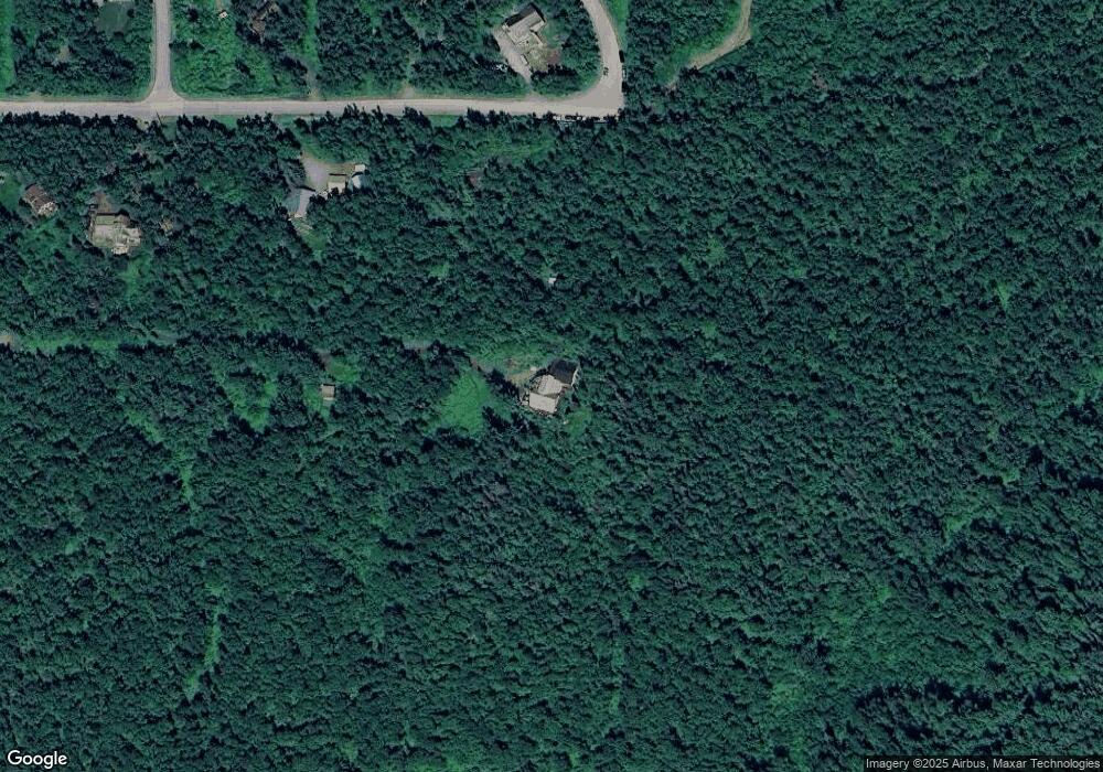
Map
Nearby Homes
- L6 Thornton St
- L8 Solleret Dr
- 20527 Mark Cir
- 24574 Park Dr
- 18610 Sue Tawn Dr
- L12 Jasmine Rd
- 23405 Glenn Hill Cir
- 24531 Homestead Rd
- 21220 Monron St
- 21229 Gorsuch St
- L3 Parks Creek Cir
- L4 Parks Creek Cir
- L10 Parks Crk Cir
- L6 Parks Creek Cir
- L5 Parks Creek Cir
- 24641 Chugiak Dr
- 24019 Pillow Cir
- 23326 Tundra Rose Ave Unit B
- 21635 Settlers Dr
- L6 Midway Industrial Park
- 19495 Sullins Dr
- 19472 Sullins Dr
- 19536 Sullins Dr
- 24824 Malcolm Dr
- 24920 Malcolm Dr
- 19620 Thornton St
- 19639 Thornton St
- 24901 Malcolm Dr
- 19457 Sullins Dr
- 25124 Malcolm Dr
- L20 B2 Warning Dr
- 19460 Sullins Dr
- NHN Sullins Dr
- 19451 Sullins Dr
- 000 Sullins Dr
- L6 B4 Sullins Dr
- L18 B2 Sullins Dr
- L7 B3 Sullins Dr
- L6 Sullins Dr
- 19452 Sullins Dr
Your Personal Tour Guide
Ask me questions while you tour the home.