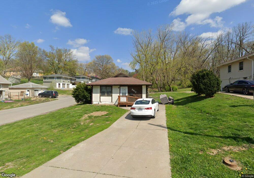
2513 N 17th St Saint Joseph, MO 64505
Lovers Lane NeighborhoodEstimated Value: $116,000 - $153,478
--
Bed
--
Bath
1,600
Sq Ft
$89/Sq Ft
Est. Value
About This Home
This home is located at 2513 N 17th St, Saint Joseph, MO 64505 and is currently estimated at $142,370, approximately $88 per square foot. 2513 N 17th St is a home located in Buchanan County with nearby schools including Lindbergh Elementary School, Robidoux Middle School, and Lafayette High School.
Ownership History
Date
Name
Owned For
Owner Type
Purchase Details
Closed on
Jun 4, 2019
Sold by
Tiger Investment Llc
Bought by
Home Grown Properties Llc
Current Estimated Value
Home Financials for this Owner
Home Financials are based on the most recent Mortgage that was taken out on this home.
Original Mortgage
$80,500
Outstanding Balance
$70,779
Interest Rate
4.1%
Mortgage Type
Commercial
Estimated Equity
$71,591
Purchase Details
Closed on
Dec 29, 2006
Sold by
Musick Christopher D
Bought by
Co Tiger Investment Llc
Create a Home Valuation Report for This Property
The Home Valuation Report is an in-depth analysis detailing your home's value as well as a comparison with similar homes in the area
Home Values in the Area
Average Home Value in this Area
Purchase History
| Date | Buyer | Sale Price | Title Company |
|---|---|---|---|
| Home Grown Properties Llc | -- | Pre Title | |
| Co Tiger Investment Llc | -- | Preferred Title Of St Joseph |
Source: Public Records
Mortgage History
| Date | Status | Borrower | Loan Amount |
|---|---|---|---|
| Open | Home Grown Properties Llc | $80,500 |
Source: Public Records
Tax History Compared to Growth
Tax History
| Year | Tax Paid | Tax Assessment Tax Assessment Total Assessment is a certain percentage of the fair market value that is determined by local assessors to be the total taxable value of land and additions on the property. | Land | Improvement |
|---|---|---|---|---|
| 2024 | $980 | $13,790 | $740 | $13,050 |
| 2023 | $980 | $13,790 | $740 | $13,050 |
| 2022 | $904 | $13,790 | $740 | $13,050 |
| 2021 | $908 | $13,790 | $740 | $13,050 |
| 2020 | $902 | $13,790 | $740 | $13,050 |
| 2019 | $871 | $13,790 | $740 | $13,050 |
| 2018 | $786 | $13,790 | $740 | $13,050 |
| 2017 | $779 | $13,790 | $0 | $0 |
| 2015 | $0 | $13,790 | $0 | $0 |
| 2014 | $854 | $13,790 | $0 | $0 |
Source: Public Records
Map
Nearby Homes
- 1502 6th Ave
- 1805 6th Ave
- 905 5th Ave
- 1814 Manchester Rd
- 2401 N 12th St
- 1205 6th Ave
- 2112 N 22nd St
- 2011 E Highland Ave
- 1020 7th Ave
- 1802 N 22nd St
- 3004 Burnside Ave
- 3101 Saint Joseph Ave
- 1321 N 20th St
- 701 McDonald St
- 622 Hamburg Ave
- 1912 Holman St
- 619 Hamburg St
- 3309 Westwood Dr
- 2027 Savannah Ave
- 1024 Roosevelt Ave