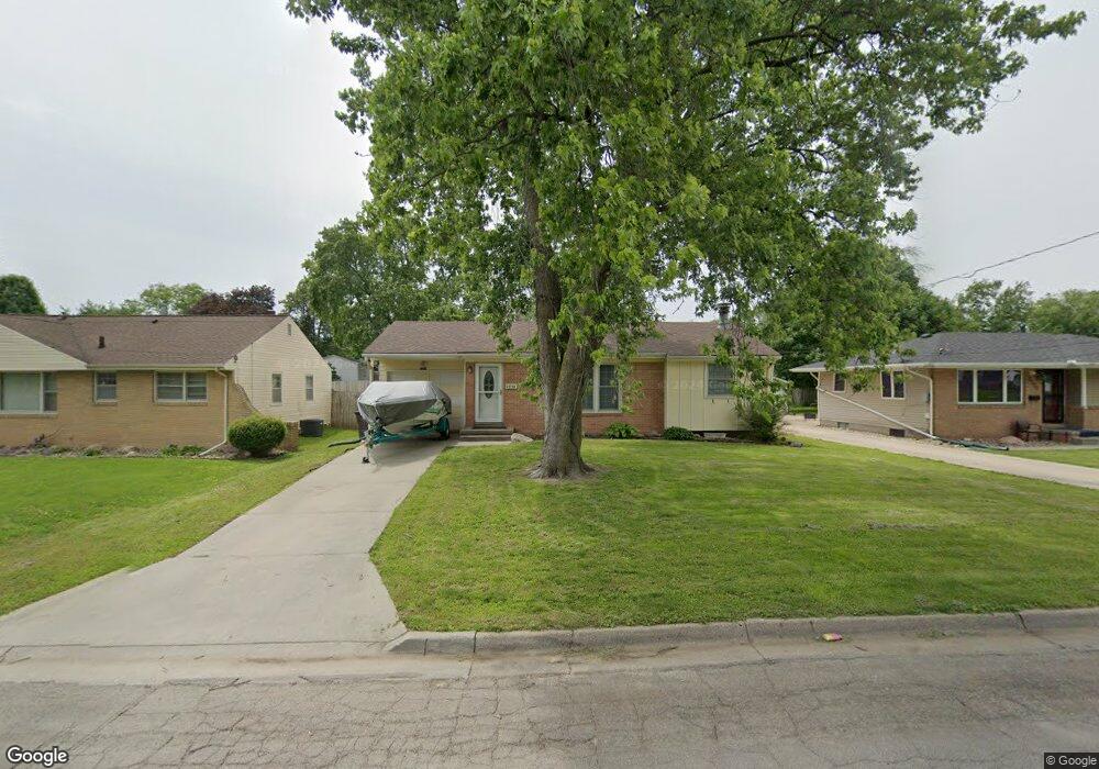
2514 Glenbrook Dr Des Moines, IA 50316
Union Park NeighborhoodEstimated Value: $181,873 - $205,000
3
Beds
1
Bath
932
Sq Ft
$207/Sq Ft
Est. Value
About This Home
This home is located at 2514 Glenbrook Dr, Des Moines, IA 50316 and is currently estimated at $192,718, approximately $206 per square foot. 2514 Glenbrook Dr is a home located in Polk County with nearby schools including Cattell Elementary School, Goodrell Middle School, and North High School.
Ownership History
Date
Name
Owned For
Owner Type
Purchase Details
Closed on
Jan 8, 2002
Sold by
Ruthreford Mario Kay and Roese Theodore Allen
Bought by
Kane Jessica E and Shepard Allen Ray
Current Estimated Value
Home Financials for this Owner
Home Financials are based on the most recent Mortgage that was taken out on this home.
Original Mortgage
$91,464
Interest Rate
7.07%
Mortgage Type
FHA
Purchase Details
Closed on
Oct 29, 1997
Sold by
Limoges Darrin M
Bought by
Rutherford Marlo Kay and Limoges Marlo K
Create a Home Valuation Report for This Property
The Home Valuation Report is an in-depth analysis detailing your home's value as well as a comparison with similar homes in the area
Home Values in the Area
Average Home Value in this Area
Purchase History
| Date | Buyer | Sale Price | Title Company |
|---|---|---|---|
| Kane Jessica E | $92,500 | -- | |
| Rutherford Marlo Kay | -- | -- |
Source: Public Records
Mortgage History
| Date | Status | Borrower | Loan Amount |
|---|---|---|---|
| Previous Owner | Kane Jessica E | $91,464 |
Source: Public Records
Tax History Compared to Growth
Tax History
| Year | Tax Paid | Tax Assessment Tax Assessment Total Assessment is a certain percentage of the fair market value that is determined by local assessors to be the total taxable value of land and additions on the property. | Land | Improvement |
|---|---|---|---|---|
| 2024 | $2,954 | $160,600 | $24,300 | $136,300 |
| 2023 | $2,874 | $160,600 | $24,300 | $136,300 |
| 2022 | $2,850 | $130,800 | $20,300 | $110,500 |
| 2021 | $2,648 | $130,800 | $20,300 | $110,500 |
| 2020 | $2,746 | $114,700 | $17,700 | $97,000 |
| 2019 | $2,704 | $114,700 | $17,700 | $97,000 |
| 2018 | $2,670 | $109,100 | $16,500 | $92,600 |
| 2017 | $2,480 | $109,100 | $16,500 | $92,600 |
| 2016 | $2,410 | $100,200 | $14,900 | $85,300 |
| 2015 | $2,410 | $100,200 | $14,900 | $85,300 |
| 2014 | $2,478 | $102,000 | $14,900 | $87,100 |
Source: Public Records
Map
Nearby Homes
- 2529 Glenbrook Dr
- 2517 Sampson St
- 2706 E 16th St
- 1617 Guthrie Ave
- 1514 Guthrie Ave
- 1432 Royer St
- 1424 Milton Ave
- 1602 Wilson Ave
- 1530 Mattern Ave
- 1422 Hull Ave
- 1520 E Tiffin Ave
- 1332 E Sheridan Ave
- 1443 Wilson Ave
- 1424 Richmond Ave
- 1434 Mattern Ave
- 1526 E Jefferson Ave
- 1428 E Tiffin Ave
- 2336 E 13th St
- 1427 Mattern Ave
- 1400 Mattern Ave
- 2508 Glenbrook Dr
- 2520 Glenbrook Dr
- 1700 Arthur Ave
- 2526 Glenbrook Dr
- 2509 Sampson St
- 2513 Sampson St
- 2505 Sampson St
- 2501 Sampson St
- 132 Arthur Ave
- 2530 Glenbrook Dr
- 2511 Glenbrook Dr
- 2521 Glenbrook Dr
- 2505 Glenbrook Dr
- 2531 Sampson St
- 2525 Glenbrook Dr
- 1669 Arthur Ave
- 2501 Glenbrook Dr
- 2536 Glenbrook Dr
- 2535 Sampson St
- 2425 Glenbrook Dr