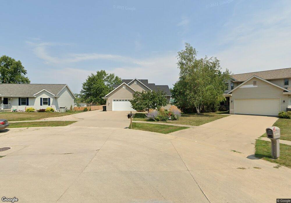
2514 Shawn Ct NW Cedar Rapids, IA 52405
Ellis Harbor NeighborhoodEstimated Value: $316,085 - $348,000
4
Beds
4
Baths
2,525
Sq Ft
$132/Sq Ft
Est. Value
About This Home
This home is located at 2514 Shawn Ct NW, Cedar Rapids, IA 52405 and is currently estimated at $334,521, approximately $132 per square foot. 2514 Shawn Ct NW is a home located in Linn County with nearby schools including Kentucky Tech - Ashland Reg Tech Center, Ponderosa Elementary School, and Madison Elementary School.
Ownership History
Date
Name
Owned For
Owner Type
Purchase Details
Closed on
Nov 11, 2008
Sold by
Peters Fredrick W and Peters Nancy A
Bought by
Smith Theodore A and Smith Lisa L
Current Estimated Value
Home Financials for this Owner
Home Financials are based on the most recent Mortgage that was taken out on this home.
Original Mortgage
$212,800
Outstanding Balance
$138,786
Interest Rate
5.95%
Mortgage Type
Purchase Money Mortgage
Estimated Equity
$195,735
Create a Home Valuation Report for This Property
The Home Valuation Report is an in-depth analysis detailing your home's value as well as a comparison with similar homes in the area
Home Values in the Area
Average Home Value in this Area
Purchase History
| Date | Buyer | Sale Price | Title Company |
|---|---|---|---|
| Smith Theodore A | $223,500 | None Available |
Source: Public Records
Mortgage History
| Date | Status | Borrower | Loan Amount |
|---|---|---|---|
| Open | Smith Theodore A | $212,800 |
Source: Public Records
Tax History Compared to Growth
Tax History
| Year | Tax Paid | Tax Assessment Tax Assessment Total Assessment is a certain percentage of the fair market value that is determined by local assessors to be the total taxable value of land and additions on the property. | Land | Improvement |
|---|---|---|---|---|
| 2025 | $4,248 | $312,500 | $46,000 | $266,500 |
| 2024 | $4,738 | $284,900 | $46,000 | $238,900 |
| 2023 | $4,738 | $250,500 | $37,300 | $213,200 |
| 2022 | $4,468 | $233,500 | $37,300 | $196,200 |
| 2021 | $4,904 | $224,600 | $30,700 | $193,900 |
| 2020 | $4,904 | $230,900 | $30,700 | $200,200 |
| 2019 | $4,868 | $234,400 | $30,700 | $203,700 |
| 2018 | $4,730 | $234,400 | $30,700 | $203,700 |
| 2017 | $4,788 | $228,400 | $30,700 | $197,700 |
| 2016 | $4,645 | $218,500 | $30,700 | $187,800 |
| 2015 | $4,633 | $217,764 | $30,686 | $187,078 |
| 2014 | $4,448 | $217,764 | $30,686 | $187,078 |
| 2013 | $4,348 | $217,764 | $30,686 | $187,078 |
Source: Public Records
Map
Nearby Homes
- 2143 Sugar Creek Dr NW
- 2147 Sugar Creek Dr NW
- 0 River Bluffs Dr
- S River Bluffs Dr Unit S of River Bluffs Dr
- 2218 Tranquil Ct NW
- 1733 Hillside Dr NW
- 5601 Seminole Valley Trail NE
- 5527 Seminole Valley Trail NE
- 2210 O Ave NW
- 1724 O Ave NW
- 122 Lakota Ct NE
- 5802 Seminole Valley Trail NE
- 1613 Southview Dr NW
- 5808 Seminole Valley Trail NE
- 5814 Seminole Valley Trail NE
- 2520 N Ave NW
- 5820 Seminole Valley Trail NE
- 2726 Seneca Ct NE
- 5506 Seminole Valley Trail NE
- 327* Edgewood Rd NW
- 2520 Shawn Ct NW
- 2508 Shawn Ct NW
- 2526 Shawn Ct NW
- 2249 26th St NW
- 2249 26th St NW
- 2511 Shawn Ct NW
- 2513 Paulyn Ct NW
- 2507 Paulyn Ct NW
- 2519 Paulyn Ct NW
- 2523 Shawn Ct NW
- 2517 Shawn Ct NW
- 2538 Shawn Ct NW
- 2529 Shawn Ct NW
- 2253 26th St NW
- 2525 Paulyn Ct NW
- 2501 Paulyn Ct NW
- 2535 Shawn Ct NW
- 2406 Zika Ave NW
- 2265 26th St NW
- 2541 Shawn Ct NW