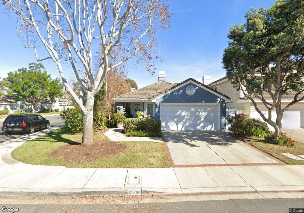
2516 Baybridge Ct Port Hueneme, CA 93041
Estimated Value: $729,879 - $884,000
2
Beds
2
Baths
1,444
Sq Ft
$552/Sq Ft
Est. Value
About This Home
This home is located at 2516 Baybridge Ct, Port Hueneme, CA 93041 and is currently estimated at $797,470, approximately $552 per square foot. 2516 Baybridge Ct is a home located in Ventura County with nearby schools including Marina West Elementary School, Oxnard High School, and St. Anthony's Elementary School.
Ownership History
Date
Name
Owned For
Owner Type
Purchase Details
Closed on
Mar 6, 1996
Sold by
Laister Manning Betty M
Bought by
Noble Lawrence Colman and Noble Madeline Susan
Current Estimated Value
Home Financials for this Owner
Home Financials are based on the most recent Mortgage that was taken out on this home.
Original Mortgage
$150,500
Outstanding Balance
$7,232
Interest Rate
9.25%
Estimated Equity
$790,238
Create a Home Valuation Report for This Property
The Home Valuation Report is an in-depth analysis detailing your home's value as well as a comparison with similar homes in the area
Home Values in the Area
Average Home Value in this Area
Purchase History
| Date | Buyer | Sale Price | Title Company |
|---|---|---|---|
| Noble Lawrence Colman | $215,000 | First American Title Ins Co |
Source: Public Records
Mortgage History
| Date | Status | Borrower | Loan Amount |
|---|---|---|---|
| Open | Noble Lawrence Colman | $150,500 | |
| Closed | Noble Lawrence Colman | $21,500 |
Source: Public Records
Tax History Compared to Growth
Tax History
| Year | Tax Paid | Tax Assessment Tax Assessment Total Assessment is a certain percentage of the fair market value that is determined by local assessors to be the total taxable value of land and additions on the property. | Land | Improvement |
|---|---|---|---|---|
| 2025 | $4,247 | $357,114 | $142,841 | $214,273 |
| 2024 | $4,247 | $350,112 | $140,040 | $210,072 |
| 2023 | $4,132 | $343,248 | $137,295 | $205,953 |
| 2022 | $3,977 | $336,518 | $134,603 | $201,915 |
| 2021 | $3,895 | $329,920 | $131,964 | $197,956 |
| 2020 | $3,849 | $326,539 | $130,612 | $195,927 |
| 2019 | $3,802 | $320,137 | $128,051 | $192,086 |
| 2018 | $3,764 | $313,861 | $125,541 | $188,320 |
| 2017 | $3,556 | $307,708 | $123,080 | $184,628 |
| 2016 | $3,495 | $301,675 | $120,667 | $181,008 |
| 2015 | $3,394 | $297,145 | $118,855 | $178,290 |
| 2014 | $3,383 | $291,327 | $116,528 | $174,799 |
Source: Public Records
Map
Nearby Homes
- 701 Halyard St
- 729 Halyard St
- 2633 Barnacle Cove
- 724 W Hemlock St
- 541 Broderick Way
- 2431 Victoria Ave
- 3610 Isle Way
- 3644 Islander Walk
- 2667 Hurricane Cove
- 2230 Monaco Dr
- 2524 Monaco Dr
- 3705 Islander Walk
- 2141 Napoli Dr
- 2633 Captains Ave
- 2014 Napoli Dr
- 422 Las Palomas Dr
- 469 Corvette St
- 438 Las Palomas Dr
- 2622 Captains Ave
- 426 Reed Way
- 2512 Baybridge Ct
- 640 Pacific Cove Dr
- 2508 Baybridge Ct
- 632 Pacific Cove Dr
- 2530 Seacove Ct
- 2525 Seacove Ct
- 2504 Baybridge Ct
- 2513 Baybridge Ct
- 624 Pacific Cove Dr
- 2527 Seacove Ct
- 2538 Seacove Ct
- 2515 Breezewater Ct
- 2507 Baybridge Ct
- 2511 Breezewater Ct
- 637 Pacific Cove Dr
- 2497 Baybridge Ct
- 669 Pacific Cove Dr
- 620 Pacific Cove Dr
- 2535 Seacove Ct
- 631 Pacific Cove Dr