25166 W 281st St S Bristow, OK 74010
Estimated Value: $267,000 - $449,065
3
Beds
3
Baths
2,397
Sq Ft
$140/Sq Ft
Est. Value
About This Home
This home is located at 25166 W 281st St S, Bristow, OK 74010 and is currently estimated at $335,688, approximately $140 per square foot. 25166 W 281st St S is a home located in Creek County with nearby schools including Edison Elementary School, Collins Elementary School, and Bristow High School.
Ownership History
Date
Name
Owned For
Owner Type
Purchase Details
Closed on
Feb 9, 2021
Sold by
Groom Darin K and Groom Real Estate Llc
Bought by
Groom Darin K and Groom Miranda S
Current Estimated Value
Home Financials for this Owner
Home Financials are based on the most recent Mortgage that was taken out on this home.
Original Mortgage
$300,000
Outstanding Balance
$267,704
Interest Rate
2.7%
Mortgage Type
New Conventional
Estimated Equity
$67,984
Purchase Details
Closed on
Oct 24, 2019
Sold by
Groom Real Estate Llc
Bought by
Groom Darin K and Groom Miranda S
Purchase Details
Closed on
Sep 14, 2019
Sold by
Groom Neil S
Bought by
Groom Real Estate Llc
Create a Home Valuation Report for This Property
The Home Valuation Report is an in-depth analysis detailing your home's value as well as a comparison with similar homes in the area
Home Values in the Area
Average Home Value in this Area
Purchase History
| Date | Buyer | Sale Price | Title Company |
|---|---|---|---|
| Groom Darin K | -- | Nations Title Of Okc | |
| Groom Darin K | -- | None Available | |
| Groom Real Estate Llc | -- | None Available |
Source: Public Records
Mortgage History
| Date | Status | Borrower | Loan Amount |
|---|---|---|---|
| Open | Groom Darin K | $300,000 |
Source: Public Records
Tax History Compared to Growth
Tax History
| Year | Tax Paid | Tax Assessment Tax Assessment Total Assessment is a certain percentage of the fair market value that is determined by local assessors to be the total taxable value of land and additions on the property. | Land | Improvement |
|---|---|---|---|---|
| 2025 | $1,630 | $16,562 | $1,746 | $14,816 |
| 2024 | $1,581 | $16,080 | $1,695 | $14,385 |
| 2023 | $1,581 | $15,612 | $1,658 | $13,954 |
| 2022 | $1,449 | $15,157 | $1,616 | $13,541 |
| 2021 | $1,412 | $14,715 | $1,571 | $13,144 |
| 2020 | $1,324 | $14,287 | $1,495 | $12,792 |
| 2019 | $1,202 | $13,871 | $1,467 | $12,404 |
| 2018 | $1,158 | $13,075 | $1,433 | $11,642 |
| 2017 | $1,125 | $12,694 | $1,416 | $11,278 |
| 2016 | $1,104 | $12,324 | $1,400 | $10,924 |
| 2015 | -- | $11,965 | $1,385 | $10,580 |
| 2014 | -- | $11,617 | $1,370 | $10,247 |
Source: Public Records
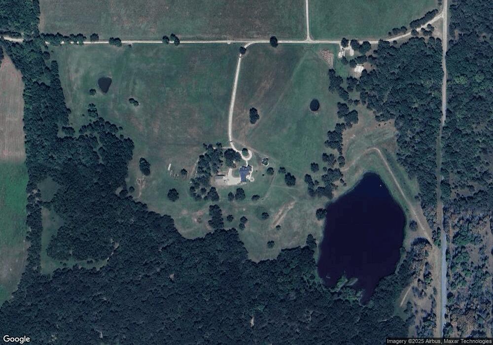
Map
Nearby Homes
- 00000 281st St
- 23350 W Highway 16
- 19887 W 281st St S
- 24500 W 321st St S
- 29110 S 321st West Ave
- 24354 S 225th West Ave
- 45551 W 241st St
- 24975 S 305th West Ave
- 1293 Timberwood St
- 24898 S 305th West Ave
- 18132 W 301st St S
- 23600 S Slick Rd
- 0000 W 311th St S
- 33820 W 261st St S
- 34698 W 301st St S
- 35444 W 271st St S
- 2 Sunflower St
- 20622 W 221st St S
- 0 Harreld Rd Unit 2527268
- 0 Harreld Rd Unit 2527267