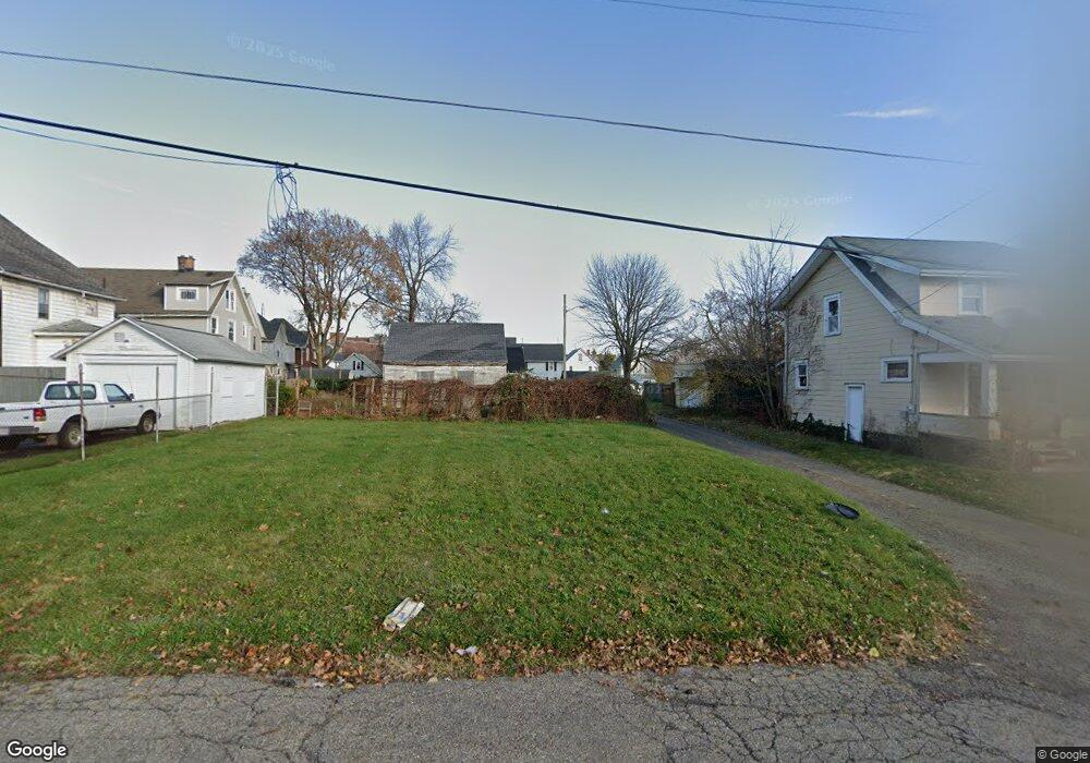
2517 10th St SW Canton, OH 44710
Southwest Canton NeighborhoodEstimated Value: $131,586
2
Beds
1
Bath
750
Sq Ft
$175/Sq Ft
Est. Value
About This Home
This home is located at 2517 10th St SW, Canton, OH 44710 and is currently estimated at $131,586, approximately $175 per square foot. 2517 10th St SW is a home located in Stark County with nearby schools including Early Learning Center @ Schreiber, Cedar Elementary School, and McGregor Elementary School.
Ownership History
Date
Name
Owned For
Owner Type
Purchase Details
Closed on
Feb 24, 2020
Sold by
Stark County Land Reutilization Corp
Bought by
City Of Canton
Current Estimated Value
Purchase Details
Closed on
Sep 10, 2015
Sold by
Williams David W
Bought by
Stark County Land Reutilization Corp
Purchase Details
Closed on
Apr 29, 1998
Sold by
Manley William R
Bought by
Williams David W
Home Financials for this Owner
Home Financials are based on the most recent Mortgage that was taken out on this home.
Original Mortgage
$45,035
Interest Rate
7.18%
Mortgage Type
New Conventional
Purchase Details
Closed on
Dec 12, 1996
Sold by
Borter Esther M
Bought by
Manley William R and Manley Bonnie
Home Financials for this Owner
Home Financials are based on the most recent Mortgage that was taken out on this home.
Original Mortgage
$32,300
Interest Rate
7.85%
Mortgage Type
New Conventional
Create a Home Valuation Report for This Property
The Home Valuation Report is an in-depth analysis detailing your home's value as well as a comparison with similar homes in the area
Home Values in the Area
Average Home Value in this Area
Purchase History
| Date | Buyer | Sale Price | Title Company |
|---|---|---|---|
| City Of Canton | -- | None Available | |
| Stark County Land Reutilization Corp | -- | None Available | |
| Williams David W | $32,000 | -- | |
| Manley William R | $34,000 | -- |
Source: Public Records
Mortgage History
| Date | Status | Borrower | Loan Amount |
|---|---|---|---|
| Previous Owner | Williams David W | $45,035 | |
| Previous Owner | Manley William R | $32,300 |
Source: Public Records
Tax History
| Year | Tax Paid | Tax Assessment Tax Assessment Total Assessment is a certain percentage of the fair market value that is determined by local assessors to be the total taxable value of land and additions on the property. | Land | Improvement |
|---|---|---|---|---|
| 2025 | -- | $490 | $490 | -- |
| 2024 | -- | $490 | $490 | -- |
| 2023 | -- | $1,020 | $1,020 | -- |
| 2022 | $66 | $1,020 | $1,020 | $0 |
| 2021 | $67 | $1,020 | $1,020 | $0 |
| 2019 | $0 | $6,550 | $1,680 | $4,870 |
Source: Public Records
Map
Nearby Homes
- 2515 Grigsby Place SW
- 2711 Blair Place SW
- 1114 Bedford Ave SW
- 1030 Arlington Ave SW
- 1134 Clarendon Ave SW
- 2519 12th St SW
- 644 Arlington Ave SW
- 929 Wertz Ave SW
- 2911 7th St SW
- 906 Harrison Ave SW
- 1241 Bedford Ave SW
- 1021 Greenfield Ave SW
- 1248 Dartmouth Ave SW
- 1252 Dartmouth Ave SW
- 3029 7th St SW
- 1227 Greenfield Ave SW
- 1225 Concord Ave SW
- 1212 Maryland Ave SW
- 616 Maryland Ave SW
- 212 Maryland Ave SW
- 2511 10th St SW
- 930 Clarendon Ave SW
- 934 Clarendon Ave SW
- 926 Clarendon Ave SW
- 931 Bedford Ave SW
- 2510 10th St SW
- 2514 10th St SW
- 935 Bedford Ave SW
- 1000 Clarendon Ave SW
- 925 Bedford Ave SW
- 922 Clarendon Ave SW
- 921 Bedford Ave SW
- 914 Clarendon Ave SW
- 1009 Bedford Ave SW
- 915 Bedford Ave SW
- 2611 10th St SW
- 935 Clarendon Ave SW
- 1008 Clarendon Ave SW
- 1001 Clarendon Ave SW
Your Personal Tour Guide
Ask me questions while you tour the home.