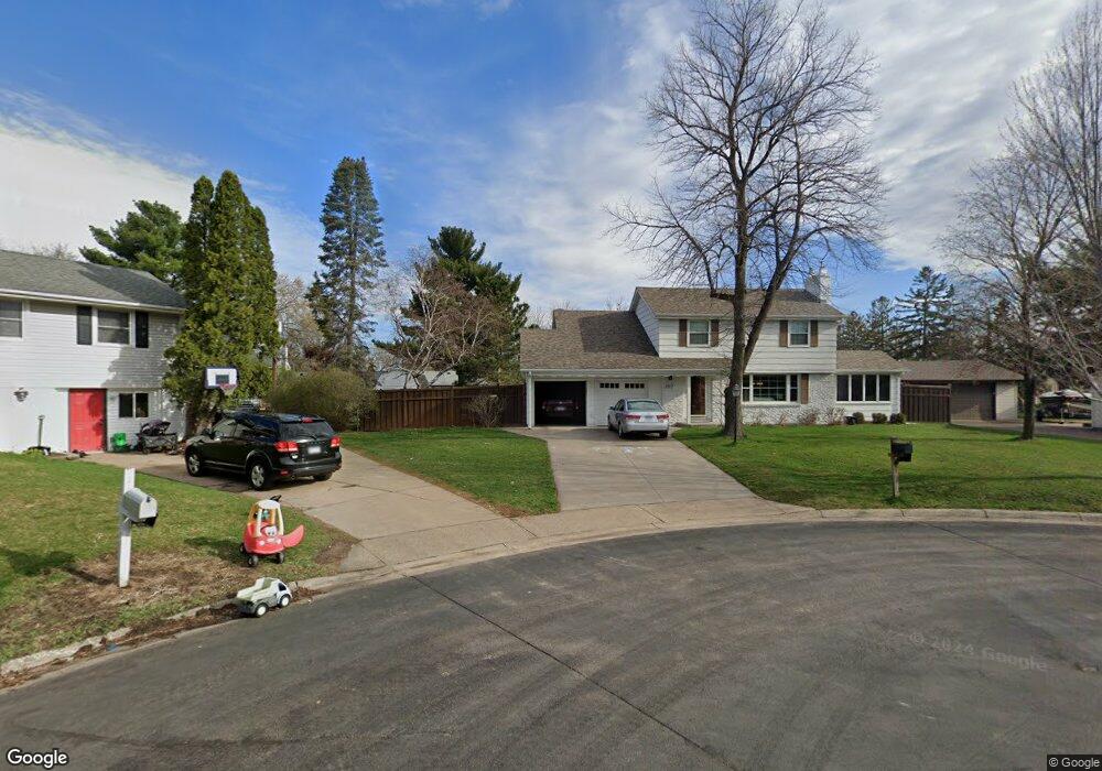
2517 118th Ln NW Coon Rapids, MN 55433
Estimated Value: $349,987 - $371,000
4
Beds
2
Baths
2,245
Sq Ft
$160/Sq Ft
Est. Value
About This Home
This home is located at 2517 118th Ln NW, Coon Rapids, MN 55433 and is currently estimated at $359,747, approximately $160 per square foot. 2517 118th Ln NW is a home located in Anoka County with nearby schools including Lucile Bruner Elementary School, Morris Bye Elementary School, and Coon Rapids Middle School.
Ownership History
Date
Name
Owned For
Owner Type
Purchase Details
Closed on
Dec 16, 2020
Sold by
Brandl James C and Brandl Connie M
Bought by
Hinrichs Theodore
Current Estimated Value
Home Financials for this Owner
Home Financials are based on the most recent Mortgage that was taken out on this home.
Original Mortgage
$295,753
Interest Rate
2.6%
Mortgage Type
New Conventional
Create a Home Valuation Report for This Property
The Home Valuation Report is an in-depth analysis detailing your home's value as well as a comparison with similar homes in the area
Home Values in the Area
Average Home Value in this Area
Purchase History
| Date | Buyer | Sale Price | Title Company |
|---|---|---|---|
| Hinrichs Theodore | $304,900 | The Title Group Inc | |
| Hinrichs Theodore Theodore | $304,900 | -- |
Source: Public Records
Mortgage History
| Date | Status | Borrower | Loan Amount |
|---|---|---|---|
| Previous Owner | Hinrichs Theodore | $295,753 | |
| Closed | Hinrichs Theodore Theodore | $295,753 |
Source: Public Records
Tax History Compared to Growth
Tax History
| Year | Tax Paid | Tax Assessment Tax Assessment Total Assessment is a certain percentage of the fair market value that is determined by local assessors to be the total taxable value of land and additions on the property. | Land | Improvement |
|---|---|---|---|---|
| 2025 | $3,042 | $283,200 | $88,200 | $195,000 |
| 2024 | $3,042 | $279,700 | $91,400 | $188,300 |
| 2023 | $2,755 | $281,300 | $79,800 | $201,500 |
| 2022 | $2,569 | $276,900 | $70,400 | $206,500 |
| 2021 | $2,312 | $227,300 | $70,400 | $156,900 |
| 2020 | $2,273 | $213,500 | $65,100 | $148,400 |
| 2019 | $2,177 | $202,400 | $63,000 | $139,400 |
| 2018 | $2,225 | $189,600 | $0 | $0 |
| 2017 | $1,884 | $187,700 | $0 | $0 |
| 2016 | $1,905 | $159,000 | $0 | $0 |
| 2015 | -- | $159,000 | $49,500 | $109,500 |
| 2014 | -- | $132,300 | $38,300 | $94,000 |
Source: Public Records
Map
Nearby Homes
- 11809 Zion St NW
- 11835 Crocus St NW
- 12019 Zion St NW
- 11749 Crooked Lake Blvd NW
- 3020 117th Ave NW
- 3074 121st Ave NW
- 11409 Quinn St NW
- 11444 Hanson Blvd NW
- 11424 Hanson Blvd NW
- 1830 121st Ln NW Unit 611
- 11734 Marigold St NW
- 2068 124th Ln NW
- 2186 125th Ln NW
- 2147 125th Ln NW
- 11361 Jay St NW
- 2675 128th Ave NW
- 12597 Thrush St NW
- 11350 Jay St NW
- 2687 128th Ave NW
- 1727 121st Ln NW
- 2509 118th Ln NW
- 2516 119th Ave NW
- 2525 118th Ln NW
- 2524 119th Ave NW
- 2508 119th Ave NW
- 11832 Xavis St NW
- 2534 119th Ave NW
- 11840 Xavis St NW
- 2524 118th Ln NW
- 2544 119th Ave NW
- 2516 118th Ln NW
- 11848 Xavis St NW
- 2508 118th Ln NW
- 2509 119th Ave NW
- 2554 119th Ave NW
- 11816 Xavis St NW
- 2517 119th Ave NW
- 2525 119th Ave NW
- 11817 Zion St NW
- 11825 Zion St NW