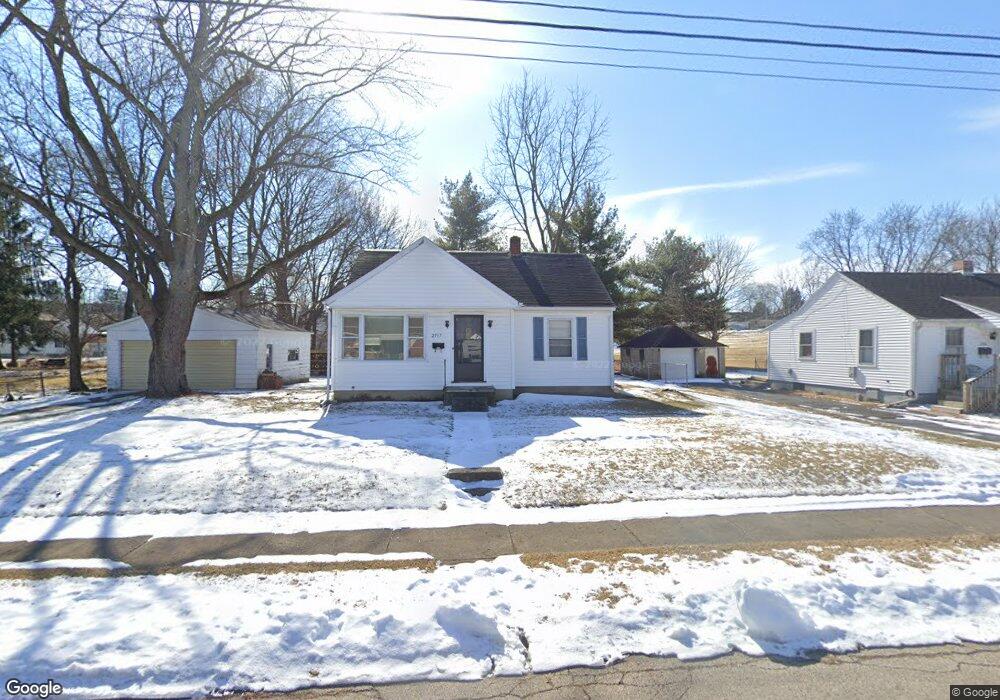
2517 Dwight Rd Springfield, OH 45503
Estimated Value: $121,000 - $130,761
3
Beds
1
Bath
792
Sq Ft
$159/Sq Ft
Est. Value
About This Home
This home is located at 2517 Dwight Rd, Springfield, OH 45503 and is currently estimated at $125,940, approximately $159 per square foot. 2517 Dwight Rd is a home located in Clark County with nearby schools including Warder Park-Wayne Elementary School, Schaefer Middle School, and Springfield High School.
Ownership History
Date
Name
Owned For
Owner Type
Purchase Details
Closed on
Sep 2, 2003
Sold by
Charter One Credit Corp
Bought by
Mourry Joseph C and Mourry Joseph
Current Estimated Value
Home Financials for this Owner
Home Financials are based on the most recent Mortgage that was taken out on this home.
Original Mortgage
$49,900
Outstanding Balance
$24,736
Interest Rate
7.62%
Mortgage Type
Purchase Money Mortgage
Estimated Equity
$101,204
Purchase Details
Closed on
May 23, 2003
Sold by
Davis Martin L
Bought by
Charter One Credit Corp and Equity One Credit Corp
Create a Home Valuation Report for This Property
The Home Valuation Report is an in-depth analysis detailing your home's value as well as a comparison with similar homes in the area
Home Values in the Area
Average Home Value in this Area
Purchase History
| Date | Buyer | Sale Price | Title Company |
|---|---|---|---|
| Mourry Joseph C | $49,900 | -- | |
| Charter One Credit Corp | $44,000 | -- |
Source: Public Records
Mortgage History
| Date | Status | Borrower | Loan Amount |
|---|---|---|---|
| Open | Mourry Joseph C | $49,900 |
Source: Public Records
Tax History
| Year | Tax Paid | Tax Assessment Tax Assessment Total Assessment is a certain percentage of the fair market value that is determined by local assessors to be the total taxable value of land and additions on the property. | Land | Improvement |
|---|---|---|---|---|
| 2025 | $1,465 | $42,760 | $7,600 | $35,160 |
| 2024 | $1,428 | $28,910 | $6,950 | $21,960 |
| 2023 | $1,428 | $28,910 | $6,950 | $21,960 |
| 2022 | $1,463 | $28,910 | $6,950 | $21,960 |
| 2021 | $1,139 | $20,730 | $5,430 | $15,300 |
| 2020 | $1,142 | $20,730 | $5,430 | $15,300 |
| 2019 | $1,145 | $20,730 | $5,430 | $15,300 |
| 2018 | $1,102 | $19,160 | $3,390 | $15,770 |
| 2017 | $1,101 | $19,384 | $3,392 | $15,992 |
| 2016 | $1,103 | $19,384 | $3,392 | $15,992 |
| 2015 | $1,168 | $19,384 | $3,392 | $15,992 |
| 2014 | $1,163 | $19,384 | $3,392 | $15,992 |
| 2013 | $1,151 | $19,384 | $3,392 | $15,992 |
Source: Public Records
Map
Nearby Homes
- 907 Bellevue Ave
- 2226 Columbus Ave
- 2224-2226 Columbus Ave
- 2201 Woodside Ave
- 2210 Larch St
- 2124 Woodside Ave
- 515 Bellevue Ave
- 419 Bellevue Ave
- 2111 Beatrice St
- 2023 Cleveland Ave
- 2020 Woodside Ave
- 743 N Belmont Ave
- 207 Roseland Ave W
- 2845 Columbus Ave Unit 5
- 1830 Edwards Ave
- 129 N Burnett Rd
- 1519 Edgewood Ave
- 2691 Tecumseh Ave
- 1810 Summit St
- 1682 Edwards Ave
- 2501 Dwight Rd
- 2447 Dwight Rd
- 819 N Burnett Rd
- 2516 Dwight Rd
- 2512 Dwight Rd
- 2520 Dwight Rd
- 2443 Dwight Rd
- 2506 Dwight Rd
- 811 N Burnett Rd
- 2502 Dwight Rd
- 851 N Burnett Rd
- 2441 Dwight Rd
- 860 Emery St
- 853 N Burnett Rd
- 777 N Burnett Rd
- 2439 Dwight Rd
- 779 N Burnett Rd
- 2440 Dwight Rd
- 870 Emery St
- 771 N Burnett Rd
Your Personal Tour Guide
Ask me questions while you tour the home.