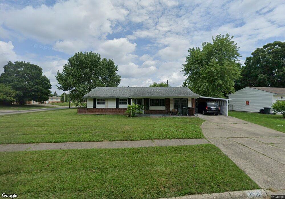
2518 Urmston Ave Hamilton, OH 45011
Fairfield Township NeighborhoodEstimated Value: $227,056 - $277,000
3
Beds
2
Baths
1,296
Sq Ft
$189/Sq Ft
Est. Value
About This Home
This home is located at 2518 Urmston Ave, Hamilton, OH 45011 and is currently estimated at $245,014, approximately $189 per square foot. 2518 Urmston Ave is a home located in Butler County with nearby schools including Fairfield North Elementary School, Creekside Middle School, and Fairfield Senior High School.
Ownership History
Date
Name
Owned For
Owner Type
Purchase Details
Closed on
Aug 27, 2009
Sold by
Clark Connie L and Clark Donald C
Bought by
Sowder Kelly
Current Estimated Value
Home Financials for this Owner
Home Financials are based on the most recent Mortgage that was taken out on this home.
Original Mortgage
$129,609
Interest Rate
5.07%
Mortgage Type
FHA
Purchase Details
Closed on
Dec 17, 2007
Sold by
Jones Ralph T
Bought by
Jones Ralph T and Clark Connie L
Purchase Details
Closed on
Mar 28, 2003
Sold by
Smith Sherri M
Bought by
Jones Ralph T and Jones Norma Jean
Purchase Details
Closed on
Mar 27, 1997
Sold by
Shipley Leonard P
Bought by
Smith Sherri M
Home Financials for this Owner
Home Financials are based on the most recent Mortgage that was taken out on this home.
Original Mortgage
$85,350
Interest Rate
7.73%
Mortgage Type
New Conventional
Purchase Details
Closed on
Dec 7, 1993
Purchase Details
Closed on
Sep 1, 1985
Create a Home Valuation Report for This Property
The Home Valuation Report is an in-depth analysis detailing your home's value as well as a comparison with similar homes in the area
Home Values in the Area
Average Home Value in this Area
Purchase History
| Date | Buyer | Sale Price | Title Company |
|---|---|---|---|
| Sowder Kelly | $132,000 | Attorney | |
| Jones Ralph T | -- | Attorney | |
| Jones Ralph T | $93,100 | -- | |
| Smith Sherri M | $88,000 | -- | |
| -- | $84,500 | -- | |
| -- | $45,000 | -- |
Source: Public Records
Mortgage History
| Date | Status | Borrower | Loan Amount |
|---|---|---|---|
| Previous Owner | Sowder Kelly | $129,609 | |
| Previous Owner | Smith Sherri M | $85,350 |
Source: Public Records
Tax History Compared to Growth
Tax History
| Year | Tax Paid | Tax Assessment Tax Assessment Total Assessment is a certain percentage of the fair market value that is determined by local assessors to be the total taxable value of land and additions on the property. | Land | Improvement |
|---|---|---|---|---|
| 2024 | $2,252 | $60,010 | $11,890 | $48,120 |
| 2023 | $2,232 | $61,200 | $11,890 | $49,310 |
| 2022 | $2,374 | $47,060 | $11,890 | $35,170 |
| 2021 | $2,144 | $45,070 | $11,890 | $33,180 |
| 2020 | $2,219 | $45,070 | $11,890 | $33,180 |
| 2019 | $3,578 | $38,070 | $11,880 | $26,190 |
| 2018 | $2,135 | $38,070 | $11,880 | $26,190 |
| 2017 | $2,155 | $38,070 | $11,880 | $26,190 |
| 2016 | $2,161 | $36,180 | $11,880 | $24,300 |
| 2015 | $2,128 | $36,180 | $11,880 | $24,300 |
| 2014 | $2,113 | $36,180 | $11,880 | $24,300 |
| 2013 | $2,113 | $39,600 | $14,470 | $25,130 |
Source: Public Records
Map
Nearby Homes
- 6399 Kimberly Dr
- 0 Walden Ponds Cir Unit 1824952
- 0 Princeton Unit 1824961
- 2710 Zoellners Way
- 6864 Beagle Dr
- 2661 Apex Ct
- 2644 Apex Ct
- 2610 Fairfield Ridge Dr
- 6322 Sand Ridge Ct
- 2638 Arroyo Ridge Ct
- 14 Dorsey Dr
- 76 Hastings Ave
- 3080 Shoreacres
- 2345 Hamilton Middletown Rd
- 6664 Creekside Way
- 6145 Gristmill Dr Unit 10
- 6145 Gristmill Dr
- 6478 Holly Ln
- 2844 Ashton Cir Unit 22844
- 6416 Sara Ct
- 2534 Urmston Ave
- 6536 Canastota Dr
- 6526 Canastota Dr
- 2552 Urmston Ave
- 6570 Canastota Dr
- 2527 Urmston Ave
- 6549 Canastota Dr
- 6535 Canastota Dr
- 6557 Canastota Dr
- 6543 Canastota Dr
- 6563 Canastota Dr
- 6520 Canastota Dr
- 2551 Urmston Ave
- 6586 Glenmont Dr
- 6537 Glenmont Dr
- 6571 Canastota Dr
- 6525 Ravena Dr
- 2563 Urmston Ave
- 2526 Service Ln
- 6514 Canastota Dr