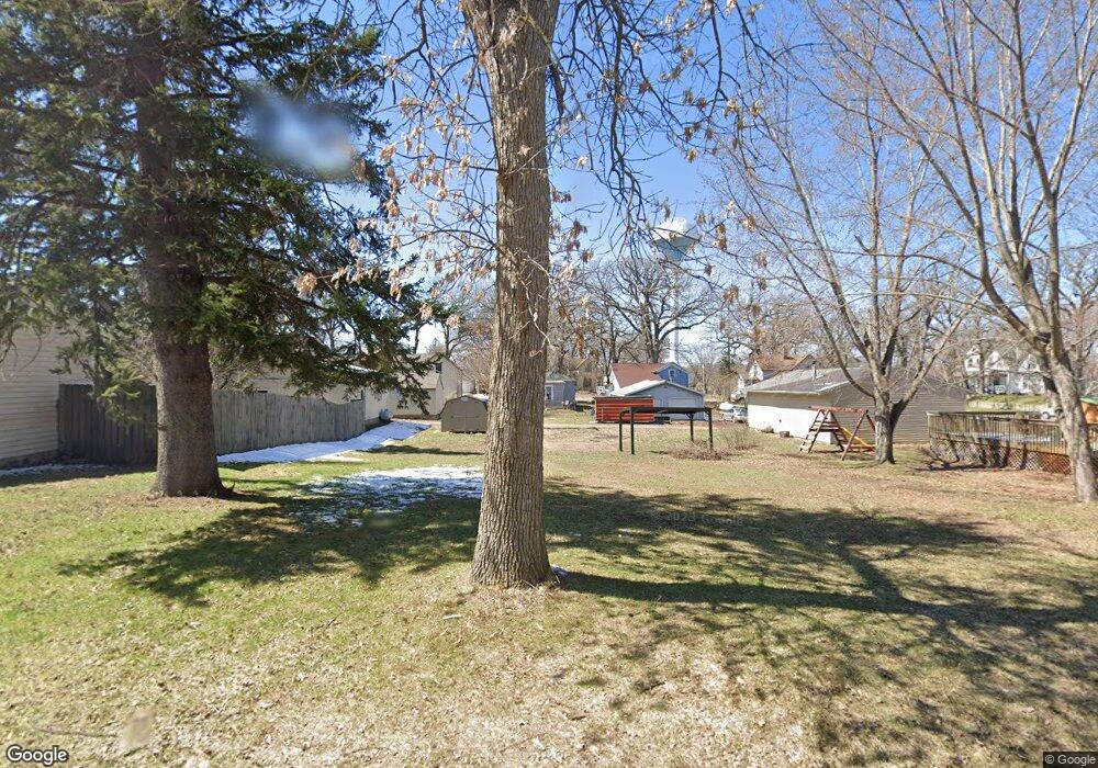
252 7th Ave N Brownton, MN 55312
Estimated Value: $97,244 - $193,000
2
Beds
2
Baths
576
Sq Ft
$257/Sq Ft
Est. Value
About This Home
This home is located at 252 7th Ave N, Brownton, MN 55312 and is currently estimated at $147,811, approximately $256 per square foot. 252 7th Ave N is a home with nearby schools including Lincoln Elementary School, Lakeside Elementary School, and Glencoe-Silver Lake Jr. High School.
Ownership History
Date
Name
Owned For
Owner Type
Purchase Details
Closed on
May 3, 2023
Sold by
Hochsprung Jayson and Hochsprung Laura
Bought by
Dahlke Blake and Dahlke Mackenzie
Current Estimated Value
Home Financials for this Owner
Home Financials are based on the most recent Mortgage that was taken out on this home.
Original Mortgage
$206,150
Outstanding Balance
$200,449
Interest Rate
6.42%
Mortgage Type
New Conventional
Estimated Equity
-$52,638
Purchase Details
Closed on
Aug 7, 2012
Sold by
Lindemen Charles R
Bought by
Hindermann Laura
Create a Home Valuation Report for This Property
The Home Valuation Report is an in-depth analysis detailing your home's value as well as a comparison with similar homes in the area
Home Values in the Area
Average Home Value in this Area
Purchase History
| Date | Buyer | Sale Price | Title Company |
|---|---|---|---|
| Dahlke Blake | $217,000 | -- | |
| Hindermann Laura | -- | -- |
Source: Public Records
Mortgage History
| Date | Status | Borrower | Loan Amount |
|---|---|---|---|
| Open | Dahlke Blake | $206,150 |
Source: Public Records
Tax History Compared to Growth
Tax History
| Year | Tax Paid | Tax Assessment Tax Assessment Total Assessment is a certain percentage of the fair market value that is determined by local assessors to be the total taxable value of land and additions on the property. | Land | Improvement |
|---|---|---|---|---|
| 2024 | $314 | $15,300 | $15,300 | $0 |
| 2023 | $306 | $16,700 | $16,700 | $0 |
| 2022 | $488 | $14,500 | $14,500 | $0 |
| 2021 | $494 | $12,700 | $12,700 | $0 |
| 2020 | $526 | $12,700 | $12,700 | $0 |
| 2019 | $266 | $11,500 | $11,500 | $0 |
| 2018 | $272 | $0 | $0 | $0 |
| 2017 | $220 | $0 | $0 | $0 |
| 2016 | $508 | $0 | $0 | $0 |
| 2015 | $604 | $0 | $0 | $0 |
| 2014 | -- | $0 | $0 | $0 |
Source: Public Records
Map
Nearby Homes
- 531 2nd St N
- 752 2nd St N
- 237 5th St N
- 221 3rd Ave S
- 122 2nd Ave S
- 304 1st Ave N
- xxx Lot 3 Division St W
- 7612 Plum Ave
- Lot 2 U S Highway 212
- XXX US Hwy 212
- xxx Lot 2 Us Hwy 212
- 16452 90th St
- 11655 Sunset Cir
- 11742 Sunset Cir
- 7900 Lace Ave
- 13198 100th St
- 7900 Lace Ave N
- Lot 2 Tagus Ave
- 12893 County Road 7
- 15554 130th St