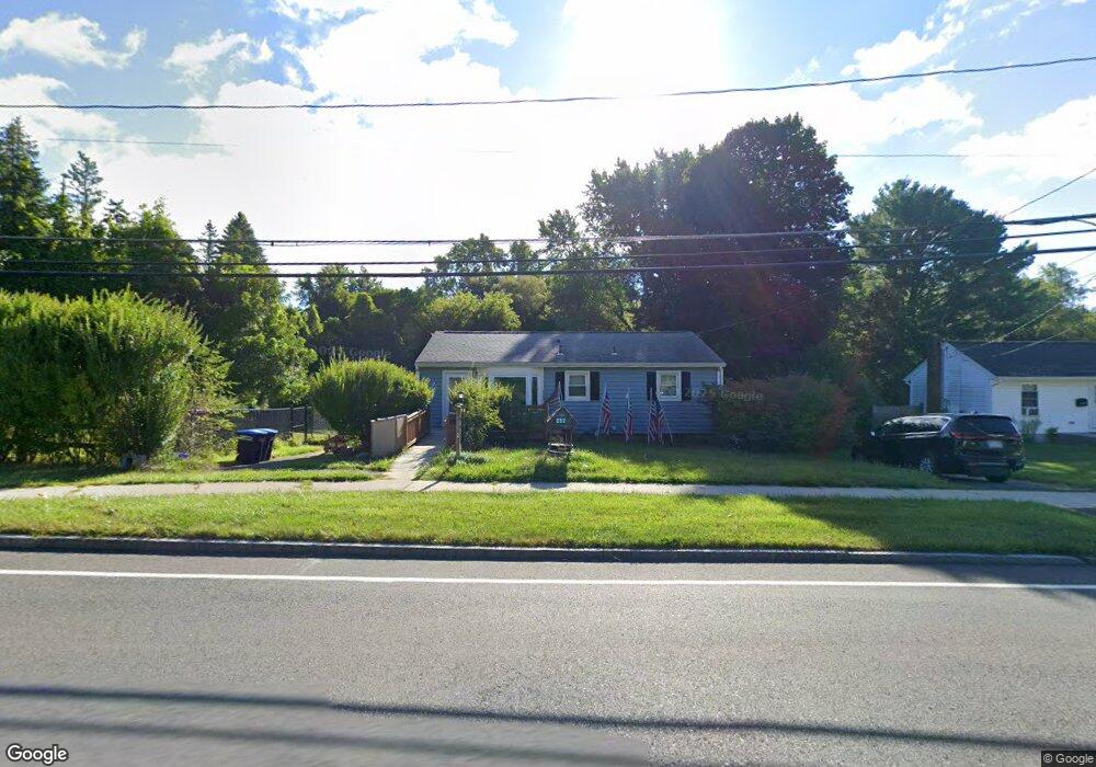
252 Benedict Rd Pittsfield, MA 01201
Estimated Value: $236,000 - $1,156,368
3
Beds
1
Bath
988
Sq Ft
$479/Sq Ft
Est. Value
About This Home
This home is located at 252 Benedict Rd, Pittsfield, MA 01201 and is currently estimated at $472,842, approximately $478 per square foot. 252 Benedict Rd is a home located in Berkshire County with nearby schools including Allendale Elementary School, Theodore Herberg Middle School, and Sinai Academy of the Berkshires.
Ownership History
Date
Name
Owned For
Owner Type
Purchase Details
Closed on
Oct 2, 2012
Sold by
Gamba Charles J and Gamba Linda C
Bought by
Trova Michael A
Current Estimated Value
Purchase Details
Closed on
Apr 30, 2010
Sold by
Stpeter Stephen C
Bought by
Trova Michael Alan
Home Financials for this Owner
Home Financials are based on the most recent Mortgage that was taken out on this home.
Original Mortgage
$111,920
Interest Rate
4.99%
Mortgage Type
Purchase Money Mortgage
Create a Home Valuation Report for This Property
The Home Valuation Report is an in-depth analysis detailing your home's value as well as a comparison with similar homes in the area
Home Values in the Area
Average Home Value in this Area
Purchase History
| Date | Buyer | Sale Price | Title Company |
|---|---|---|---|
| Trova Michael A | $500,000 | -- | |
| Trova Michael Alan | $149,900 | -- | |
| Trova Michael Alan | $149,900 | -- | |
| Trova Michael Alan | $149,900 | -- |
Source: Public Records
Mortgage History
| Date | Status | Borrower | Loan Amount |
|---|---|---|---|
| Previous Owner | Trova Michael Alan | $111,920 | |
| Previous Owner | Trova Michael Alan | $10,000 |
Source: Public Records
Tax History Compared to Growth
Tax History
| Year | Tax Paid | Tax Assessment Tax Assessment Total Assessment is a certain percentage of the fair market value that is determined by local assessors to be the total taxable value of land and additions on the property. | Land | Improvement |
|---|---|---|---|---|
| 2025 | $3,812 | $212,500 | $65,900 | $146,600 |
| 2024 | $3,517 | $190,600 | $65,900 | $124,700 |
| 2023 | $3,197 | $174,500 | $60,900 | $113,600 |
| 2022 | $2,945 | $158,700 | $58,400 | $100,300 |
| 2021 | $2,776 | $144,200 | $58,400 | $85,800 |
| 2020 | $2,809 | $142,500 | $58,400 | $84,100 |
| 2019 | $2,602 | $134,000 | $52,900 | $81,100 |
| 2018 | $2,645 | $132,200 | $52,900 | $79,300 |
| 2017 | $2,497 | $127,200 | $50,900 | $76,300 |
| 2016 | $2,424 | $129,200 | $50,900 | $78,300 |
| 2015 | $2,333 | $129,200 | $50,900 | $78,300 |
Source: Public Records
Map
Nearby Homes
- 81 Dartmouth St Unit 102
- 156 Draper Ave
- 67 Scammell Ave
- 153 Elberon Ave
- 135 Allengate Ave
- I11001904 Scammell Ave
- 52 Bossidy Dr
- 122 Allengate Ave
- 919 Tyler St
- 326 Dalton Ave
- 0 Brown St
- LOT 20 Plunkett St
- 24 Glenwood Ave
- 48 Brown St
- 29 Glenwood Ave
- 41 Brown St
- 87 Maryland Ave
- 56 Spring St
- 0 Faucett Ln
- 0 Courtland Place
- 257 Benedict Rd
- 246 Benedict Rd
- 249 Benedict Rd
- 240 Benedict Rd
- 262 Benedict Rd
- 155 Broadview Terrace
- 148 Broadview Terrace
- 10 Tanner St
- 239 Benedict Rd
- 234 Benedict Rd
- 272 Benedict Rd
- 279 Benedict Rd
- 140 Broadview Terrace
- 233 Benedict Rd
- 224 Benedict Rd
- 147 Broadview Terrace
- 11 Tanner St
- 288 Benedict Rd
- 225 Benedict Rd
- 278 Benedict Rd