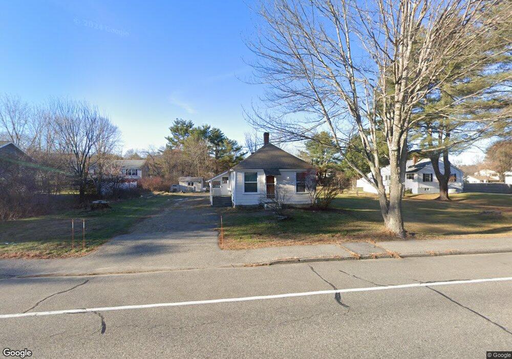
252 Park Rd Westbrook, ME 04092
Estimated Value: $327,800 - $370,000
2
Beds
1
Bath
740
Sq Ft
$477/Sq Ft
Est. Value
About This Home
This home is located at 252 Park Rd, Westbrook, ME 04092 and is currently estimated at $352,700, approximately $476 per square foot. 252 Park Rd is a home located in Cumberland County with nearby schools including Westbrook High School and Breakwater School.
Ownership History
Date
Name
Owned For
Owner Type
Purchase Details
Closed on
Mar 28, 2008
Sold by
Crosby Michael
Bought by
Crosby Michael and Crosby Kelli
Current Estimated Value
Home Financials for this Owner
Home Financials are based on the most recent Mortgage that was taken out on this home.
Original Mortgage
$125,000
Outstanding Balance
$78,311
Interest Rate
5.76%
Mortgage Type
Purchase Money Mortgage
Estimated Equity
$274,389
Purchase Details
Closed on
Jan 16, 2007
Sold by
Guinard Mary M
Bought by
Crosby Michael
Home Financials for this Owner
Home Financials are based on the most recent Mortgage that was taken out on this home.
Original Mortgage
$121,500
Interest Rate
6.18%
Mortgage Type
Purchase Money Mortgage
Create a Home Valuation Report for This Property
The Home Valuation Report is an in-depth analysis detailing your home's value as well as a comparison with similar homes in the area
Home Values in the Area
Average Home Value in this Area
Purchase History
| Date | Buyer | Sale Price | Title Company |
|---|---|---|---|
| Crosby Michael | -- | -- | |
| Crosby Michael | -- | -- | |
| Crosby Michael | -- | -- |
Source: Public Records
Mortgage History
| Date | Status | Borrower | Loan Amount |
|---|---|---|---|
| Open | Crosby Michael | $125,000 | |
| Previous Owner | Crosby Michael | $121,500 |
Source: Public Records
Tax History
| Year | Tax Paid | Tax Assessment Tax Assessment Total Assessment is a certain percentage of the fair market value that is determined by local assessors to be the total taxable value of land and additions on the property. | Land | Improvement |
|---|---|---|---|---|
| 2023 | $2,899 | $173,800 | $83,100 | $90,700 |
| 2022 | $2,623 | $144,900 | $69,200 | $75,700 |
| 2021 | $2,584 | $144,900 | $69,200 | $75,700 |
| 2020 | $8,720 | $144,900 | $69,200 | $75,700 |
| 2019 | $2,796 | $144,900 | $69,200 | $75,700 |
| 2018 | $2,524 | $126,500 | $60,200 | $66,300 |
| 2017 | $3,358 | $126,500 | $60,200 | $66,300 |
| 2016 | $2,328 | $126,500 | $60,200 | $66,300 |
| 2015 | $2,272 | $126,500 | $60,200 | $66,300 |
| 2014 | $2,176 | $126,500 | $60,200 | $66,300 |
| 2013 | $2,176 | $126,500 | $60,200 | $66,300 |
Source: Public Records
Map
Nearby Homes
- 7 Apex Dr Unit 2
- 5 Apex Dr Unit 1
- 22 Collins Place Dr Unit 4
- 30 Fawn Woods Way Unit 30
- 7 Collins Place Unit 6
- 3 Collins Place Unit 5
- 7 Kasseys Way Unit 5
- 84 Hillside Rd
- 272 Cumberland St
- 18 Summit Cir
- 315 Bridge St
- 48 Nasson Ave
- Lot 15&16 Chickadee Ln
- 132 North St
- 78 North St
- 25 Cole St Unit 2
- 18 Cole St
- 22 Berkeley St
- 32 Kennard St
- 21 Clover Ln Unit 210
Your Personal Tour Guide
Ask me questions while you tour the home.